3826 Common Rd Unit Bldg-Unit Warren, MI 48092
Northwest Warren NeighborhoodEstimated Value: $271,007 - $286,000
About This Home
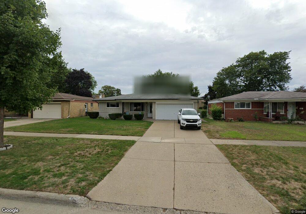
This home is located at 3826 Common Rd Unit Bldg-Unit, Warren, MI 48092 and is currently estimated at $276,502, approximately $184 per square foot. 3826 Common Rd Unit Bldg-Unit is a home located in Macomb County with nearby schools including Lean Elementary School, Beer Middle School, and Warren Mott High School.
Ownership History
We collect this data history from publicly available records. To have your information removed, we recommend requesting removal directly through your county’s website.
Purchase Details
Purchase Details
Home Financials for this Owner
Home Financials are based on the most recent Mortgage that was taken out on this home.Home Values in the Area
Average Home Value in this Area
Purchase History
We collect this data history from publicly available records. To have your information removed, we recommend requesting removal directly through your county’s website.
| Date | Buyer | Sale Price | Title Company |
|---|---|---|---|
| -- | Land Title | ||
| $165,500 | First American Mortgage Solu |
Mortgage History
We collect this data history from publicly available records. To have your information removed, we recommend requesting removal directly through your county’s website.
| Date | Status | Borrower | Loan Amount |
|---|---|---|---|
| Previous Owner | $160,535 |
Tax History
We collect this data history from publicly available records. To have your information removed, we recommend requesting removal directly through your county’s website.
| Year | Tax Paid | Tax Assessment Tax Assessment Total Assessment is a certain percentage of the fair market value that is determined by local assessors to be the total taxable value of land and additions on the property. | Land | Improvement |
|---|---|---|---|---|
| 2025 | $4,668 | $125,860 | $0 | $0 |
| 2024 | $46 | $120,080 | $0 | $0 |
| 2023 | $4,330 | $105,810 | $0 | $0 |
| 2022 | $4,183 | $92,640 | $0 | $0 |
| 2021 | $4,257 | $87,610 | $0 | $0 |
| 2020 | $4,105 | $82,130 | $0 | $0 |
| 2019 | $3,957 | $74,410 | $0 | $0 |
| 2018 | $0 | $66,510 | $0 | $0 |
| 2017 | $2,748 | $61,020 | $10,130 | $50,890 |
| 2016 | $2,746 | $61,020 | $0 | $0 |
| 2015 | -- | $54,320 | $0 | $0 |
| 2013 | $7,728 | $47,220 | $0 | $0 |
Map
- 29501 van Laan Dr
- 3848 Pall Dr
- 3418 Winterfield Dr
- 3446 Girard Dr
- 4541 Marlow Dr
- 29687 Boewe Dr
- 29683 Beech Nut Dr
- 30615 Scrivo Dr
- 29538 E Nottingham Cir
- 29588 Sycamore Dr
- 4644 Kingsley Dr
- 30203 Cousino Dr
- 4840 Iowa Dr
- 4829 Wolgast Dr
- 5168 Bradmore Ln
- 5085 Ridge Ln
- 30507 Austin Dr
- 2338 Marlow Dr
- 28530 Ryan Rd
- 29720 Merrick Ave
Ask me questions while you tour the home.