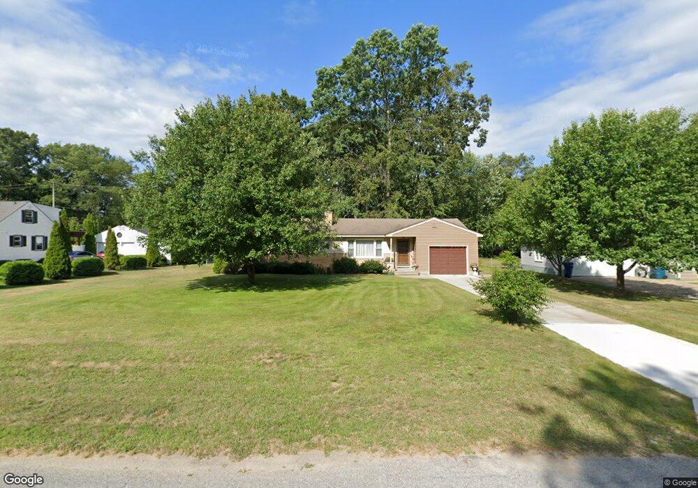
3827 Michael St Muskegon, MI 49444
Estimated Value: $216,000 - $238,000
2
Beds
1
Bath
1,056
Sq Ft
$213/Sq Ft
Est. Value
About This Home
This home is located at 3827 Michael St, Muskegon, MI 49444 and is currently estimated at $224,705, approximately $212 per square foot. 3827 Michael St is a home located in Muskegon County with nearby schools including Fruitport High School, Edgewood Elementary Academy, and Dr. Martin Luther King Academy.
Ownership History
Date
Name
Owned For
Owner Type
Purchase Details
Closed on
Dec 30, 2024
Sold by
Hatt Diane L
Bought by
Hatt Edward J and Banner Cindy M
Current Estimated Value
Create a Home Valuation Report for This Property
The Home Valuation Report is an in-depth analysis detailing your home's value as well as a comparison with similar homes in the area
Home Values in the Area
Average Home Value in this Area
Purchase History
| Date | Buyer | Sale Price | Title Company |
|---|---|---|---|
| Hatt Edward J | -- | None Listed On Document |
Source: Public Records
Tax History Compared to Growth
Tax History
| Year | Tax Paid | Tax Assessment Tax Assessment Total Assessment is a certain percentage of the fair market value that is determined by local assessors to be the total taxable value of land and additions on the property. | Land | Improvement |
|---|---|---|---|---|
| 2025 | $2,754 | $95,200 | $0 | $0 |
| 2024 | $1,237 | $86,500 | $0 | $0 |
| 2023 | $1,183 | $76,300 | $0 | $0 |
| 2022 | $1,569 | $68,200 | $0 | $0 |
| 2021 | $1,527 | $62,500 | $0 | $0 |
| 2020 | $1,512 | $57,500 | $0 | $0 |
| 2019 | $1,486 | $54,200 | $0 | $0 |
| 2018 | $1,411 | $52,000 | $0 | $0 |
| 2017 | $1,382 | $48,500 | $0 | $0 |
| 2016 | $840 | $44,100 | $0 | $0 |
| 2015 | -- | $42,700 | $0 | $0 |
| 2014 | -- | $44,800 | $0 | $0 |
| 2013 | -- | $41,300 | $0 | $0 |
Source: Public Records
Map
Nearby Homes
- 3835 Ellen St
- 1454 Airport Rd
- 1201 Shettler Rd
- 3176 Klug St
- 1418 Saskatoon Ave
- 3125 Stratford St
- 1130 Englewood Ave
- 1520 Sunbury Ave
- V/L 4535 Thompson Rd
- 2322 Cline Rd
- 2355 Cress Creek Dr
- 1068 Englewood Ave
- V/L S Sheridan Dr
- 1071 Calgary Dr
- 4543 Poulin St
- 3265 Toronto Ave
- 1510 Canterbury Ave
- 3315 Spring Hill Dr
- 4468 Spruce Ct
- 4563 Keener St
- 3811 Michael St
- 3841 Michael St
- 3828 Molly Blvd
- 3814 Molly Blvd
- 3797 Michael St
- 3857 Michael St
- 3844 Molly Blvd
- 3800 Molly Blvd
- 3820 Michael St
- 3834 Michael St
- 3850 Michael St
- 3860 Molly Blvd
- 3871 Michael St
- 1729 Lee Ave
- 3784 Molly Blvd
- 1701 Lee Ave
- 1745 Lee Ave
- 3864 Michael St
- 3874 Molly Blvd
- 1728 Lee Ave