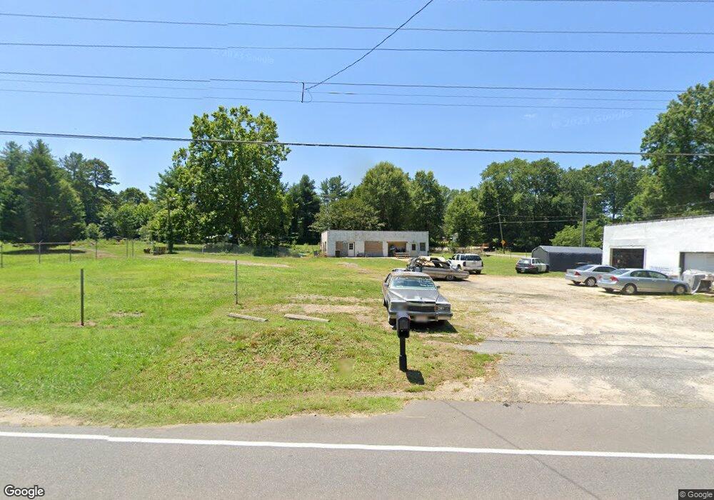
3828 High Point Rd Winston Salem, NC 27107
Estimated Value: $395,686
--
Bed
--
Bath
2,552
Sq Ft
$155/Sq Ft
Est. Value
About This Home
This home is located at 3828 High Point Rd, Winston Salem, NC 27107 and is currently estimated at $395,686, approximately $155 per square foot. 3828 High Point Rd is a home located in Forsyth County with nearby schools including Hall-Woodward Elementary School, Southeast Middle School, and R.B. Glenn High School.
Ownership History
Date
Name
Owned For
Owner Type
Purchase Details
Closed on
Aug 31, 2019
Sold by
Cochrane Barbara Ann
Bought by
Keiger Allen G
Current Estimated Value
Home Financials for this Owner
Home Financials are based on the most recent Mortgage that was taken out on this home.
Original Mortgage
$228,000
Outstanding Balance
$199,686
Interest Rate
3.7%
Mortgage Type
Seller Take Back
Estimated Equity
$196,000
Purchase Details
Closed on
Aug 23, 2000
Sold by
York Rubin L and York Mary Elizabeth
Bought by
Cochrane Edwin T and Cochrane Barbara Ann
Create a Home Valuation Report for This Property
The Home Valuation Report is an in-depth analysis detailing your home's value as well as a comparison with similar homes in the area
Home Values in the Area
Average Home Value in this Area
Purchase History
| Date | Buyer | Sale Price | Title Company |
|---|---|---|---|
| Keiger Allen G | $240,000 | None Available | |
| Cochrane Edwin T | $125,000 | -- |
Source: Public Records
Mortgage History
| Date | Status | Borrower | Loan Amount |
|---|---|---|---|
| Open | Keiger Allen G | $228,000 |
Source: Public Records
Tax History Compared to Growth
Tax History
| Year | Tax Paid | Tax Assessment Tax Assessment Total Assessment is a certain percentage of the fair market value that is determined by local assessors to be the total taxable value of land and additions on the property. | Land | Improvement |
|---|---|---|---|---|
| 2025 | $3,308 | $251,500 | $203,600 | $47,900 |
| 2024 | $3,157 | $235,800 | $183,200 | $52,600 |
| 2023 | $3,157 | -- | -- | -- |
| 2022 | $3,098 | $235,800 | $183,200 | $52,600 |
| 2021 | $3,042 | $235,800 | $183,200 | $52,600 |
| 2020 | $2,596 | $188,000 | $183,200 | $4,800 |
| 2019 | $2,615 | $188,000 | $183,200 | $4,800 |
| 2018 | $2,483 | $188,000 | $183,200 | $4,800 |
| 2016 | $2,465 | $187,324 | $183,226 | $4,098 |
| 2015 | $2,427 | $187,324 | $183,226 | $4,098 |
| 2014 | $2,354 | $187,324 | $183,226 | $4,098 |
Source: Public Records
Map
Nearby Homes
- 2981 Durant Dr
- 2983 Durant Dr
- Ashe Plan at Robindale
- Erie Plan at Robindale
- Camden Plan at Robindale
- Durham Plan at Robindale
- Avery Plan at Robindale
- Cary Plan at Robindale
- Carolina Plan at Robindale
- 3598 Robindale Dr
- 3471 Robindale Dr
- 3458 Robindale Dr
- 421 Robindale Ct
- 3453 Robindale Dr
- 3447 Robindale Dr
- 3441 Robindale Dr
- 3428 Robindale Dr
- 3435 Robindale Dr
- 3422 Robindale Dr
- 3544 Landis St SE
- 3820 High Point Rd
- 3835 High Point Rd
- 3816 High Point Rd
- 3900 Magnolia Place Ln
- 0 Meadowood
- 2910 Durant Dr
- 3906 Magnolia Place Ln
- 3812 High Point Rd
- 3845 High Point Rd
- 3912 Magnolia Place Ln
- 3813 High Point Rd
- 3918 Magnolia Place Ln
- 3849 High Point Rd
- 3915 Magnolia Place Ln
- 0 Magnolia Place Ln
- 11 Magnolia Place Ln
- 10 Magnolia Place Ln
- 9 Magnolia Place Ln
- 6 Magnolia Place Ln
- 7 Magnolia Place Ln