3829 12th St Wayland, MI 49348
Estimated Value: $132,163 - $327,000
--
Bed
--
Bath
--
Sq Ft
3
Acres
About This Home
This home is located at 3829 12th St, Wayland, MI 49348 and is currently estimated at $234,041. 3829 12th St is a home located in Allegan County with nearby schools including Wayland High School and St. Therese Catholic School.
Ownership History
Date
Name
Owned For
Owner Type
Purchase Details
Closed on
Jun 1, 2017
Sold by
Cox Dozie S and Cox Joanne
Bought by
Feenstra Jennifer Irene and Feenstra Ricky Lee
Current Estimated Value
Purchase Details
Closed on
Mar 21, 2014
Sold by
Cox Joanne
Bought by
Cox Dozie S and Cox Joanne
Purchase Details
Closed on
May 20, 2004
Sold by
Hinkle Raymond R and Hinkle Elaine L
Bought by
Reurink Robert J and Reurink Trudi L
Purchase Details
Closed on
Jul 29, 1999
Sold by
Hinkle Raymond and Hinkle Elaine L
Bought by
Reurink Robert and Reurink Trudi
Purchase Details
Closed on
Sep 5, 1997
Sold by
Kempner Thomas
Bought by
Hinkle Raymond and Hinkle Elaine L
Purchase Details
Closed on
Aug 10, 1997
Create a Home Valuation Report for This Property
The Home Valuation Report is an in-depth analysis detailing your home's value as well as a comparison with similar homes in the area
Home Values in the Area
Average Home Value in this Area
Purchase History
| Date | Buyer | Sale Price | Title Company |
|---|---|---|---|
| Feenstra Jennifer Irene | -- | None Available | |
| Cox Dozie S | -- | None Available | |
| Reurink Robert J | $48,500 | Metropolitan Title Company | |
| Reurink Robert | $48,500 | -- | |
| Hinkle Raymond | $36,500 | -- | |
| -- | $36,500 | -- |
Source: Public Records
Tax History Compared to Growth
Tax History
| Year | Tax Paid | Tax Assessment Tax Assessment Total Assessment is a certain percentage of the fair market value that is determined by local assessors to be the total taxable value of land and additions on the property. | Land | Improvement |
|---|---|---|---|---|
| 2025 | $1,505 | $42,900 | $23,800 | $19,100 |
| 2024 | $1,366 | $39,800 | $20,500 | $19,300 |
| 2023 | $1,366 | $37,900 | $20,500 | $17,400 |
| 2022 | $1,366 | $36,100 | $21,300 | $14,800 |
| 2021 | $1,291 | $33,100 | $21,000 | $12,100 |
| 2020 | $1,280 | $31,400 | $21,000 | $10,400 |
| 2019 | $1,248 | $29,900 | $19,300 | $10,600 |
| 2018 | $1,208 | $28,000 | $19,300 | $8,700 |
| 2017 | $0 | $28,000 | $19,300 | $8,700 |
| 2016 | $0 | $25,700 | $19,300 | $6,400 |
| 2015 | -- | $25,700 | $19,300 | $6,400 |
| 2014 | -- | $24,200 | $18,300 | $5,900 |
| 2013 | $1,397 | $24,000 | $18,300 | $5,700 |
Source: Public Records
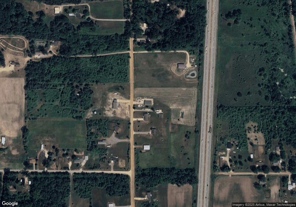
Map
Nearby Homes
- 3897 Division St
- 3770 Division Ave S
- 3610 Garden St
- 3570 Windsor Woods Dr
- 3685 Calkins Ct
- 1149 Regina Trail
- 1143 Regina Trail
- 545 N Main St
- 4674 12th St
- 219 Alpine St
- 319 Alpine St
- 212 E Superior St
- 110 E Sycamore St
- 146 Hanlon Ct
- 621 S Main St
- 4240 Butternut Dr
- Vienna Plan at Harvest Meadows
- Charlotte Plan at Harvest Meadows
- Sierra Plan at Harvest Meadows
- Karolynn Plan at Harvest Meadows