383 Camp Creek Rd Iron Station, NC 28080
Estimated Value: $235,286 - $259,000
3
Beds
1
Bath
1,052
Sq Ft
$232/Sq Ft
Est. Value
About This Home
This home is located at 383 Camp Creek Rd, Iron Station, NC 28080 and is currently estimated at $244,572, approximately $232 per square foot. 383 Camp Creek Rd is a home located in Lincoln County with nearby schools including Iron Station Elementary School, East Lincoln Middle School, and East Lincoln High School.
Ownership History
Date
Name
Owned For
Owner Type
Purchase Details
Closed on
Feb 10, 2021
Sold by
Bailey Betty Lou
Bought by
Poole Richard Shane and Poole Jessica Laughter
Current Estimated Value
Home Financials for this Owner
Home Financials are based on the most recent Mortgage that was taken out on this home.
Original Mortgage
$75,000
Outstanding Balance
$66,963
Interest Rate
2.6%
Mortgage Type
New Conventional
Estimated Equity
$177,609
Purchase Details
Closed on
Feb 17, 2004
Bought by
Bailey Betty L
Create a Home Valuation Report for This Property
The Home Valuation Report is an in-depth analysis detailing your home's value as well as a comparison with similar homes in the area
Home Values in the Area
Average Home Value in this Area
Purchase History
| Date | Buyer | Sale Price | Title Company |
|---|---|---|---|
| Poole Richard Shane | $75,000 | None Available | |
| Bailey Betty L | $68,000 | -- |
Source: Public Records
Mortgage History
| Date | Status | Borrower | Loan Amount |
|---|---|---|---|
| Open | Poole Richard Shane | $75,000 |
Source: Public Records
Tax History Compared to Growth
Tax History
| Year | Tax Paid | Tax Assessment Tax Assessment Total Assessment is a certain percentage of the fair market value that is determined by local assessors to be the total taxable value of land and additions on the property. | Land | Improvement |
|---|---|---|---|---|
| 2025 | $1,292 | $184,558 | $50,657 | $133,901 |
| 2024 | $1,272 | $184,558 | $50,657 | $133,901 |
| 2023 | $1,267 | $184,558 | $50,657 | $133,901 |
| 2022 | $934 | $110,015 | $37,308 | $72,707 |
| 2021 | $934 | $110,015 | $37,308 | $72,707 |
| 2020 | $797 | $110,015 | $37,308 | $72,707 |
| 2019 | $775 | $110,015 | $37,308 | $72,707 |
| 2018 | $749 | $90,492 | $35,909 | $54,583 |
| 2017 | $643 | $90,492 | $35,909 | $54,583 |
| 2016 | $643 | $90,492 | $35,909 | $54,583 |
| 2015 | $716 | $90,492 | $35,909 | $54,583 |
| 2014 | $746 | $96,109 | $37,011 | $59,098 |
Source: Public Records
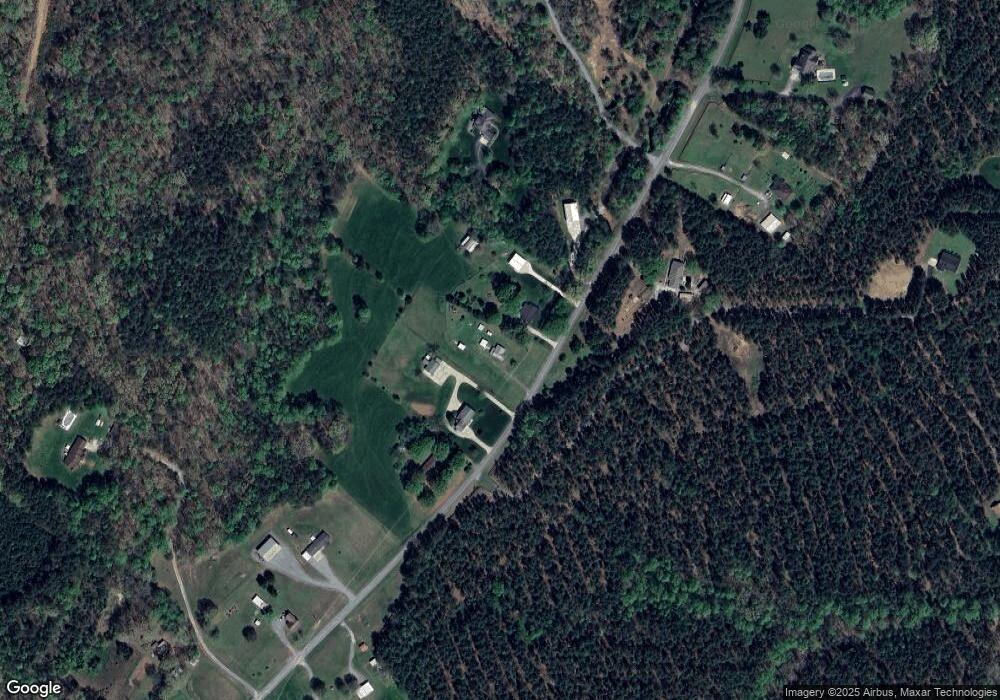
Map
Nearby Homes
- 341 Camp Creek Rd
- 000 N Carolina 73
- 1894 N Carolina 73
- 429 Link Dr
- 1011 Lester Trail
- 1076 Furnace Rd
- Lot 6 Walnut Ridge Rd Unit 6
- 1404 Old Mill Rd
- 00 Timber Rd
- 375 Timber Rd
- 5045 Amity Ln Unit 12
- 3164 Andrew Link Rd
- 1448 Weatherwood Dr
- 4465 Brancer Ln
- lot 22 Weatherwood Dr Unit 22
- 132 Huncoat Hollow Ln
- 00 Southmont Rd
- 812 Trinity Ln
- 2983 Tavistock Ln
- 3132 Fox Den Cir
- 399 Camp Creek Rd
- 365 Camp Creek Rd
- 430 Camp Creek Rd
- 435 Camp Creek Rd
- 470 Camp Creek Rd
- 273 Camp Creek Rd
- 487 Camp Creek Rd
- 262 Camp Creek Rd
- 510 Camp Creek Rd
- 267 Camp Creek Rd
- 354 Camp Creek Rd
- 237 Camp Creek Rd
- 225 Camp Creek Rd
- 188 Camp Creek Rd
- 0000 Rickard Ln
- 2169 N Carolina 73
- 2169 Highway 73
- 108 Ralph Ward Trail
- 116 Ralph Ward Trail
- 003 Vesuvius Furnace Rd Unit 3