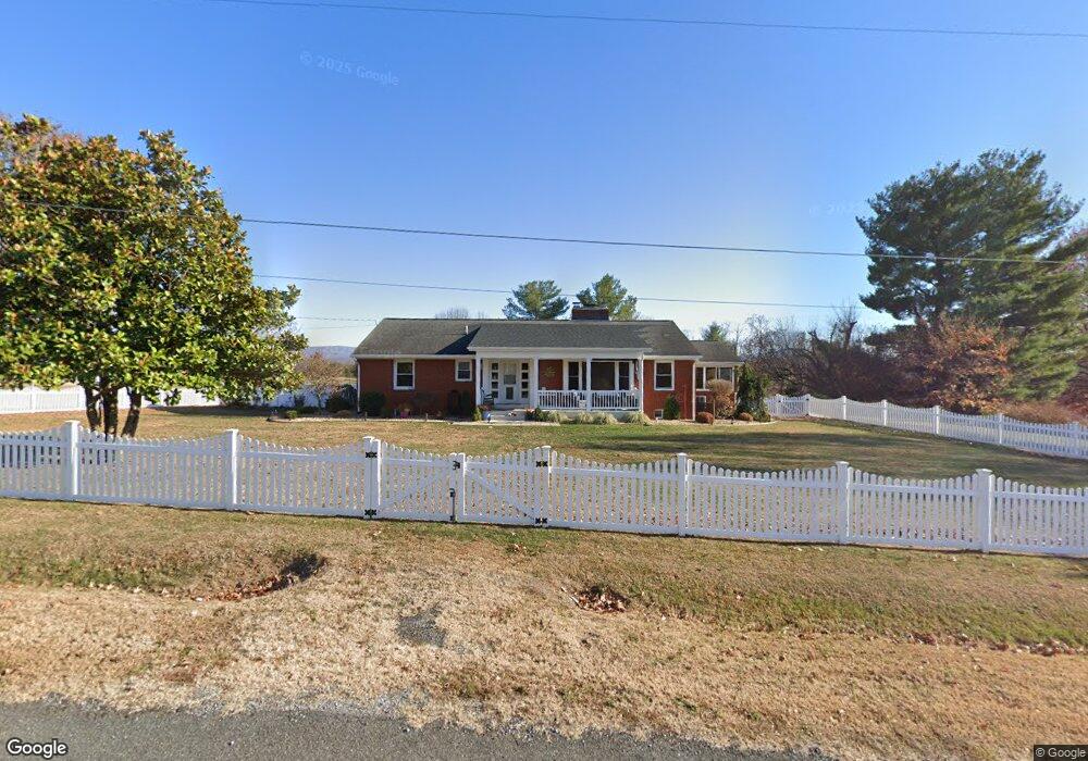
383 Floyd Ave Shenandoah, VA 22849
Estimated Value: $361,705 - $409,000
3
Beds
2
Baths
2,039
Sq Ft
$189/Sq Ft
Est. Value
About This Home
This home is located at 383 Floyd Ave, Shenandoah, VA 22849 and is currently estimated at $385,353, approximately $188 per square foot. 383 Floyd Ave is a home located in Page County.
Ownership History
Date
Name
Owned For
Owner Type
Purchase Details
Closed on
Apr 14, 1995
Current Estimated Value
Create a Home Valuation Report for This Property
The Home Valuation Report is an in-depth analysis detailing your home's value as well as a comparison with similar homes in the area
Home Values in the Area
Average Home Value in this Area
Purchase History
| Date | Buyer | Sale Price | Title Company |
|---|---|---|---|
| -- | $110,000 | -- |
Source: Public Records
Tax History
| Year | Tax Paid | Tax Assessment Tax Assessment Total Assessment is a certain percentage of the fair market value that is determined by local assessors to be the total taxable value of land and additions on the property. | Land | Improvement |
|---|---|---|---|---|
| 2025 | $1,956 | $268,000 | $36,600 | $231,400 |
| 2024 | $1,956 | $268,000 | $36,600 | $231,400 |
| 2023 | $1,956 | $268,000 | $36,600 | $231,400 |
| 2022 | $1,925 | $263,700 | $36,600 | $227,100 |
| 2021 | $1,925 | $263,700 | $36,600 | $227,100 |
| 2020 | $1,822 | $249,600 | $36,600 | $213,000 |
| 2019 | $1,822 | $249,600 | $36,600 | $213,000 |
| 2018 | $1,747 | $249,600 | $36,600 | $213,000 |
| 2017 | $1,647 | $249,600 | $36,600 | $213,000 |
| 2016 | $1,647 | $249,600 | $36,600 | $213,000 |
| 2015 | $1,521 | $237,700 | $36,600 | $201,100 |
| 2014 | $1,521 | $237,700 | $36,600 | $201,100 |
Source: Public Records
Map
Nearby Homes
- 4348 Park Way
- 3635 Riverbend Dr
- 411 Shenandoah Ave
- 601 Long Ave
- 613 6th St
- 711 8th St
- TBD 6th St
- TBD 6th St Unit 21 & 22
- 427 Fourth St
- 211 2nd St
- TBD lot 3 Ferrell Ln
- 100 Junior Ave
- 290 Shenandoah River Rd
- 1557 Rinacas Corner Rd
- 317 Locustdale Loop
- 17801 Red Brush Rd
- 743 Comertown Rd
- 0 Shenandoah River Rd Unit 672350
- 0 Shenandoah River Rd Unit VAPA2005848
- 5002 E Point Rd
- 384 Floyd Ave
- 415 Floyd Ave
- 371 Floyd Ave
- 414 Floyd Ave
- 362 Floyd Ave
- 357 Moose Ln
- 329 Floyd Ave
- 349 Stanley Ave
- 331 Stanley Ave
- 358 Stanley Ave
- 209 Moose Ln
- 368 Stanley Ave
- 315 Stanley Ave
- 299 Stanley Ave
- 332 Stanley Ave
- 275 Floyd Ave
- 1515 Us Highway 340 S
- 271 Stanley Ave
- 1493 Us Highway 340 S
- 186 Anne St