383 High St Belfast, ME 04915
Estimated Value: $387,000 - $673,656
3
Beds
1
Bath
768
Sq Ft
$682/Sq Ft
Est. Value
About This Home
This home is located at 383 High St, Belfast, ME 04915 and is currently estimated at $523,885, approximately $682 per square foot. 383 High St is a home located in Waldo County with nearby schools including Cornerspring Children's House and The School At Sweetser - Belfast.
Create a Home Valuation Report for This Property
The Home Valuation Report is an in-depth analysis detailing your home's value as well as a comparison with similar homes in the area
Home Values in the Area
Average Home Value in this Area
Tax History Compared to Growth
Tax History
| Year | Tax Paid | Tax Assessment Tax Assessment Total Assessment is a certain percentage of the fair market value that is determined by local assessors to be the total taxable value of land and additions on the property. | Land | Improvement |
|---|---|---|---|---|
| 2024 | $9,128 | $592,700 | $210,900 | $381,800 |
| 2023 | $9,523 | $473,800 | $185,000 | $288,800 |
| 2022 | $9,930 | $464,000 | $185,000 | $279,000 |
| 2021 | $10,208 | $464,000 | $185,000 | $279,000 |
| 2020 | $9,581 | $411,200 | $185,000 | $226,200 |
| 2019 | $8,123 | $354,700 | $143,900 | $210,800 |
| 2018 | $7,155 | $315,200 | $143,900 | $171,300 |
| 2017 | $6,903 | $315,200 | $143,900 | $171,300 |
| 2016 | $5,157 | $225,200 | $45,600 | $179,600 |
| 2015 | $5,044 | $225,200 | $45,600 | $179,600 |
| 2014 | $4,876 | $225,200 | $45,600 | $179,600 |
| 2013 | $4,684 | $225,200 | $45,600 | $179,600 |
Source: Public Records
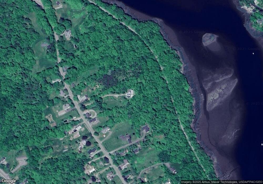
Map
Nearby Homes
- 388 High St
- 225 Waldo Ave
- 0 Merriam Rd
- 40 Robbins Rd
- 0 Robbins Rd Unit 1634953
- 97 Robbins Rd
- 000 Merriam Rd
- 0 Patterson Hill Rd Unit Lot 2 1614981
- 51 Bridge St
- 17 Footbridge Rd
- 2 Swan Lake Ave
- 6 Daniel Dr
- 45 Brooke Ave
- 208 High St
- 42 Swan Lake Ave
- 28 Charles St
- 22 Boardman Way
- 31 Franklin St
- 1 Miller St
- 38 Spring St