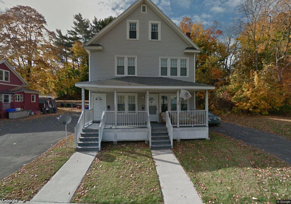
383 Hillside Ave Unit 385 Holyoke, MA 01040
Estimated Value: $306,322 - $374,000
6
Beds
2
Baths
2,376
Sq Ft
$143/Sq Ft
Est. Value
About This Home
This home is located at 383 Hillside Ave Unit 385, Holyoke, MA 01040 and is currently estimated at $340,331, approximately $143 per square foot. 383 Hillside Ave Unit 385 is a home located in Hampden County with nearby schools including Lt. Clayre Sullivan Elementary School, Holyoke High School, and Holyoke Community Charter School.
Ownership History
Date
Name
Owned For
Owner Type
Purchase Details
Closed on
Apr 26, 2007
Sold by
Virgilio Anthony J
Bought by
Cha-Kat Realty Llc
Current Estimated Value
Purchase Details
Closed on
Dec 9, 1993
Sold by
Stefanelli Philip
Bought by
Virgilio Anthony J
Home Financials for this Owner
Home Financials are based on the most recent Mortgage that was taken out on this home.
Original Mortgage
$79,760
Interest Rate
6.78%
Mortgage Type
Purchase Money Mortgage
Create a Home Valuation Report for This Property
The Home Valuation Report is an in-depth analysis detailing your home's value as well as a comparison with similar homes in the area
Home Values in the Area
Average Home Value in this Area
Purchase History
| Date | Buyer | Sale Price | Title Company |
|---|---|---|---|
| Cha-Kat Realty Llc | $85,000 | -- | |
| Virgilio Anthony J | $65,000 | -- |
Source: Public Records
Mortgage History
| Date | Status | Borrower | Loan Amount |
|---|---|---|---|
| Open | Virgilio Anthony J | $125,000 | |
| Previous Owner | Virgilio Anthony J | $79,760 |
Source: Public Records
Tax History Compared to Growth
Tax History
| Year | Tax Paid | Tax Assessment Tax Assessment Total Assessment is a certain percentage of the fair market value that is determined by local assessors to be the total taxable value of land and additions on the property. | Land | Improvement |
|---|---|---|---|---|
| 2025 | $4,719 | $270,300 | $42,500 | $227,800 |
| 2024 | $4,387 | $231,500 | $40,600 | $190,900 |
| 2023 | $4,047 | $215,700 | $40,600 | $175,100 |
| 2022 | $4,068 | $211,200 | $40,600 | $170,600 |
| 2021 | $3,532 | $183,300 | $37,000 | $146,300 |
| 2020 | $3,280 | $171,900 | $37,000 | $134,900 |
| 2019 | $3,216 | $166,700 | $37,000 | $129,700 |
| 2018 | $3,017 | $157,700 | $37,000 | $120,700 |
| 2017 | $3,023 | $157,700 | $37,000 | $120,700 |
| 2016 | $2,937 | $153,600 | $38,000 | $115,600 |
| 2015 | $2,925 | $153,600 | $38,000 | $115,600 |
Source: Public Records
Map
Nearby Homes
- 43 King St
- 1793 Northampton St
- 70-72 Westfield Rd
- 55 Hitchcock St
- 78 Hitchcock St
- 155 Huron Ave
- 9-11 Oakwood Ave
- 10 Humeston Slope
- 56 Laurel St
- 16 Charles St
- 1678 Northampton St
- 34 Maple Crest Cir Unit D
- 33 Maple Crest Cir Unit D
- 7 Maple Crest Cir Unit E
- 44 Laurel St
- 25 W Glen St
- 244 Ontario Ave
- 29-31 Brown Ave
- 13 Willow St
- 43 Woods Ave
- 375 Hillside Ave
- 53 Arnodale Ave
- 47 Cherry St Unit 49
- 47-49 Cherry St
- 371 Hillside Ave Unit 373
- 74 Cherry Hill
- 42 Arnodale Ave Unit 1
- 42 Arnodale Ave
- 43 Cherry St Unit 45
- 43-45 Cherry St
- 367 Hillside Ave Unit 369
- 79 Cherry Hill
- 64 Cherry Hill
- 39 Cherry St
- 368 Hillside Ave Unit 370
- 400 Hillside Ave Unit 402
- 400-402 Hillside Ave
- 40 Arnodale Ave
- 363 Hillside Ave
- 363 Hillside Ave Unit 365