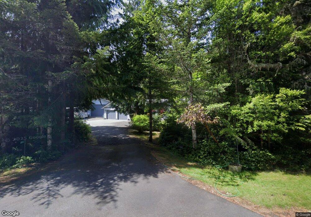
383 Hunt Rd Port Angeles, WA 98363
Estimated Value: $580,384 - $659,000
2
Beds
2
Baths
1,744
Sq Ft
$361/Sq Ft
Est. Value
About This Home
This home is located at 383 Hunt Rd, Port Angeles, WA 98363 and is currently estimated at $629,795, approximately $361 per square foot. 383 Hunt Rd is a home located in Clallam County with nearby schools including Dry Creek Elementary School, Stevens Middle School, and Port Angeles High School.
Ownership History
Date
Name
Owned For
Owner Type
Purchase Details
Closed on
Nov 19, 2019
Sold by
Anderson Ralph W and Anderson Marie Christine
Bought by
Anderson Ralph W and Anderson Marie Christine
Current Estimated Value
Home Financials for this Owner
Home Financials are based on the most recent Mortgage that was taken out on this home.
Original Mortgage
$247,000
Outstanding Balance
$166,780
Interest Rate
3.7%
Mortgage Type
New Conventional
Estimated Equity
$463,015
Purchase Details
Closed on
Jul 9, 2007
Sold by
Moffat Dennis R and Moffat Dee
Bought by
Anderson Ralph W and Anderson Marie Christine
Create a Home Valuation Report for This Property
The Home Valuation Report is an in-depth analysis detailing your home's value as well as a comparison with similar homes in the area
Home Values in the Area
Average Home Value in this Area
Purchase History
| Date | Buyer | Sale Price | Title Company |
|---|---|---|---|
| Anderson Ralph W | -- | Amrock Inc | |
| Anderson Ralph W | -- | Amrock Inc | |
| Anderson Ralph W | $380,000 | Clallam Title Company |
Source: Public Records
Mortgage History
| Date | Status | Borrower | Loan Amount |
|---|---|---|---|
| Open | Anderson Ralph W | $247,000 |
Source: Public Records
Tax History Compared to Growth
Tax History
| Year | Tax Paid | Tax Assessment Tax Assessment Total Assessment is a certain percentage of the fair market value that is determined by local assessors to be the total taxable value of land and additions on the property. | Land | Improvement |
|---|---|---|---|---|
| 2021 | $2,812 | $309,770 | $39,819 | $269,951 |
| 2020 | $2,599 | $285,628 | $39,819 | $245,809 |
| 2018 | $2,453 | $276,822 | $39,819 | $237,003 |
| 2017 | $2,009 | $223,541 | $39,819 | $183,722 |
| 2016 | $2,009 | $227,212 | $39,819 | $187,393 |
| 2015 | $2,009 | $218,790 | $39,819 | $178,971 |
| 2013 | $2,009 | $219,041 | $39,819 | $179,222 |
| 2012 | $2,009 | $243,915 | $39,819 | $204,096 |
Source: Public Records
Map
Nearby Homes
- 9999 Hunt Rd
- 99 S Point Rd
- 1048 Peters Rd
- 639 Lower Elwha Rd
- 0 Colville Rd
- 00 Colville Rd
- 314 Power Plant Rd
- 163 Prawn Rd
- 0 Hansen Rd
- 2808 W Edgewood Dr
- 428 Eagle Ridge Rd
- 1413 Discovery Loop
- 4109 S Reddick Rd
- 1020 Walker St
- 262 Break View Rd
- 2207 W Edgewood Dr
- 3951 S Tyler Rd
- 2439 W 12th St
- 2340 Samara Place
- 4103 S Fey Rd