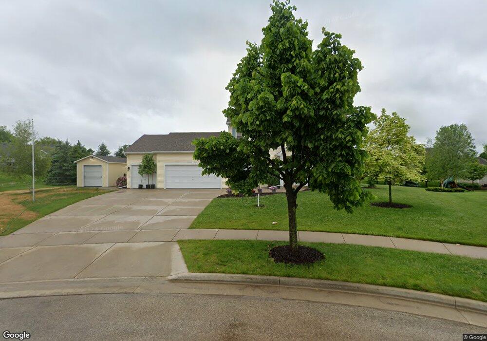
383 Maple Grove Terrace Slinger, WI 53086
Estimated Value: $608,000 - $708,195
4
Beds
2
Baths
2,484
Sq Ft
$260/Sq Ft
Est. Value
About This Home
This home is located at 383 Maple Grove Terrace, Slinger, WI 53086 and is currently estimated at $646,549, approximately $260 per square foot. 383 Maple Grove Terrace is a home located in Washington County with nearby schools including Slinger High School and St Peter Elementary School.
Ownership History
Date
Name
Owned For
Owner Type
Purchase Details
Closed on
Feb 23, 2017
Sold by
Gartzke Nicole J
Bought by
Ammerman Nicholas L
Current Estimated Value
Purchase Details
Closed on
Nov 14, 2006
Sold by
Benton Land & Development Llc
Bought by
Gartzke Chad R and Gartzke Nicole J
Home Financials for this Owner
Home Financials are based on the most recent Mortgage that was taken out on this home.
Original Mortgage
$283,000
Interest Rate
6.33%
Mortgage Type
New Conventional
Create a Home Valuation Report for This Property
The Home Valuation Report is an in-depth analysis detailing your home's value as well as a comparison with similar homes in the area
Home Values in the Area
Average Home Value in this Area
Purchase History
| Date | Buyer | Sale Price | Title Company |
|---|---|---|---|
| Ammerman Nicholas L | $323,000 | -- | |
| Gartzke Chad R | $298,000 | None Available |
Source: Public Records
Mortgage History
| Date | Status | Borrower | Loan Amount |
|---|---|---|---|
| Previous Owner | Gartzke Chad R | $283,000 |
Source: Public Records
Tax History
| Year | Tax Paid | Tax Assessment Tax Assessment Total Assessment is a certain percentage of the fair market value that is determined by local assessors to be the total taxable value of land and additions on the property. | Land | Improvement |
|---|---|---|---|---|
| 2025 | $6,705 | $555,100 | $115,000 | $440,100 |
| 2024 | $6,307 | $555,100 | $115,000 | $440,100 |
| 2023 | $5,487 | $408,900 | $88,600 | $320,300 |
| 2022 | $5,389 | $392,900 | $88,600 | $304,300 |
| 2021 | $5,147 | $392,900 | $88,600 | $304,300 |
| 2020 | $4,926 | $330,600 | $86,800 | $243,800 |
| 2019 | $4,864 | $330,600 | $86,800 | $243,800 |
| 2018 | $4,822 | $330,600 | $86,800 | $243,800 |
| 2017 | $4,694 | $307,500 | $82,800 | $224,700 |
| 2016 | $4,717 | $279,200 | $82,800 | $196,400 |
| 2015 | $4,935 | $279,200 | $82,800 | $196,400 |
| 2014 | $4,935 | $279,200 | $82,800 | $196,400 |
| 2013 | $5,328 | $298,300 | $94,300 | $204,000 |
Source: Public Records
Map
Nearby Homes
- 2484 Boulder Dr
- 2470 Boulder Dr
- Lt127 Sandstone St
- Lt132 Sandstone St
- Lt126 Sandstone St
- Lt131 Sandstone St
- Lt133 Sandstone St
- Lt96 Sandstone St
- 2491 Boulder Dr
- 2497 Boulder Dr
- 2456 Boulder Dr
- 447 Sandstone St
- Lt50 Limestone Ln
- Lt135 Limestone Ln
- Lt55 Limestone Ln
- Lt51 Limestone Ln
- Lt62 Boulder Dr
- Lt84 Boulder Dr
- Lt60 Boulder Dr
- Lt86 Boulder Dr
- 400 Maple Grove Terrace
- 353 Maple Grove Terrace
- 380 Maple Grove Terrace
- 360 Maple Grove Terrace
- 340 Maple Grove Terrace
- 2290 Cedar Bluffs Dr
- 388 Cedar Crest Ln
- 2310 Cedar Bluffs Dr
- 344 Cedar Crest Ln
- 2307 Cedar Crest Dr
- 2295 Cedar Bluffs Dr
- 333 Cedar Crest Ln
- 2315 Cedar Bluffs Dr
- 322 Cedar Crest Ln
- 2280 Cedar Bluffs Dr
- 363 Cedar Crest Ln
- 313 Cedar Crest Ln
- 2330 Cedar Bluffs Dr
- 2285 Cedar Bluffs Dr
- 424 Cedar Crest Ln
Your Personal Tour Guide
Ask me questions while you tour the home.