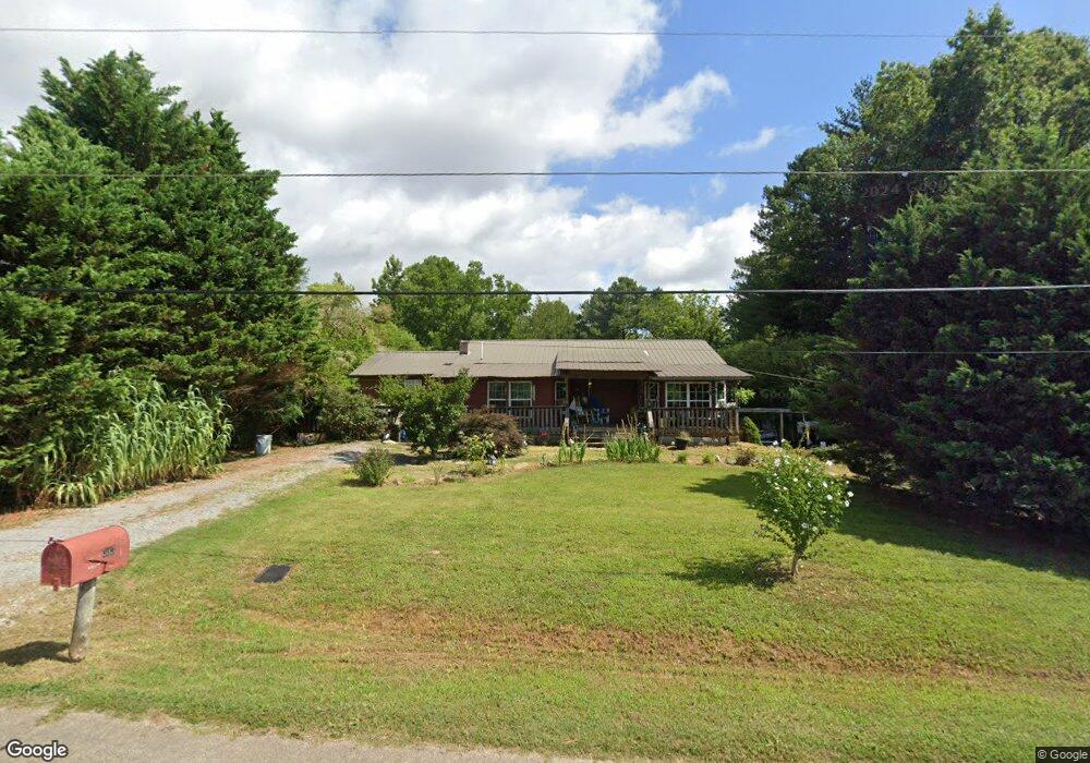
383 Morring Rd Brownsboro, AL 35741
Moontown NeighborhoodEstimated Value: $125,377 - $465,000
--
Bed
--
Bath
912
Sq Ft
$282/Sq Ft
Est. Value
About This Home
This home is located at 383 Morring Rd, Brownsboro, AL 35741 and is currently estimated at $257,344, approximately $282 per square foot. 383 Morring Rd is a home with nearby schools including Central School and Madison County High School.
Ownership History
Date
Name
Owned For
Owner Type
Purchase Details
Closed on
Sep 19, 2007
Sold by
Henshaw Shirley
Bought by
Reavis Allen Dewayne and Reavis Melissa W
Current Estimated Value
Create a Home Valuation Report for This Property
The Home Valuation Report is an in-depth analysis detailing your home's value as well as a comparison with similar homes in the area
Home Values in the Area
Average Home Value in this Area
Purchase History
| Date | Buyer | Sale Price | Title Company |
|---|---|---|---|
| Reavis Allen Dewayne | -- | -- |
Source: Public Records
Tax History Compared to Growth
Tax History
| Year | Tax Paid | Tax Assessment Tax Assessment Total Assessment is a certain percentage of the fair market value that is determined by local assessors to be the total taxable value of land and additions on the property. | Land | Improvement |
|---|---|---|---|---|
| 2024 | $305 | $9,880 | $2,500 | $7,380 |
| 2023 | $305 | $9,680 | $2,500 | $7,180 |
| 2022 | $228 | $7,680 | $1,300 | $6,380 |
| 2021 | $204 | $7,000 | $1,300 | $5,700 |
| 2020 | $196 | $6,590 | $1,300 | $5,290 |
| 2019 | $182 | $6,390 | $1,300 | $5,090 |
| 2018 | $165 | $5,920 | $0 | $0 |
| 2017 | $165 | $5,920 | $0 | $0 |
| 2016 | $165 | $5,920 | $0 | $0 |
| 2015 | $165 | $5,920 | $0 | $0 |
| 2014 | $162 | $5,860 | $0 | $0 |
Source: Public Records
Map
Nearby Homes
- 205 Oakland View Dr
- 233 Oakland View Dr
- 224 Oakland View Dr
- 220 Oakland View Dr
- 230 Oakland View Dr
- 227 Midland Dr
- 113 Delta Pine Dr
- 123 Delta Pine Dr
- 506 Moontown Rd
- 136 Petty Ln
- TBD Petty Ln
- 111 Cool Cir
- 477 Moontown Rd
- PPin#507136 Moontown Rd
- 215 Teague Rd
- 403 Ryland Pike
- 362 Moontown Rd
- 109 Jones Cir
- Johnson IV H Plan at Cedar Gap Estates
- Taft IV G Plan at Cedar Gap Estates
- 323 Morring Rd
- 345 Morring Rd
- 365 Morring Rd
- 375 Morring Rd
- 323 Morring Rd
- 309 Morring Rd
- 299 Morring Rd
- 0 Morring Rd Unit 1792663
- 0 Morring Rd Unit 1805953
- 0 Morring Rd
- 197 Morring Cir
- 401 Morring Rd
- 191 Morring Cir
- 421 Morring Rd
- 433 Morring Rd
- 190 Morring Cir
- 178 Morring Cir
- 102 Morring Cir
- 161 Morring Cir
- 157 Morring Cir