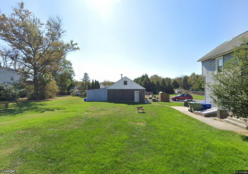
383 N Locust Ave Marlton, NJ 08053
Estimated Value: $377,000 - $436,000
--
Bed
--
Bath
1,656
Sq Ft
$248/Sq Ft
Est. Value
About This Home
This home is located at 383 N Locust Ave, Marlton, NJ 08053 and is currently estimated at $410,342, approximately $247 per square foot. 383 N Locust Ave is a home located in Burlington County with nearby schools including J. Harold Vanzant Elementary School, Frances Demasi Middle School, and Cherokee High School.
Ownership History
Date
Name
Owned For
Owner Type
Purchase Details
Closed on
Jul 20, 2018
Sold by
Ballerini Lorenzo and Ballerini Denise M
Bought by
Ballerini Daniela C and Mccarthy Ryan G
Current Estimated Value
Home Financials for this Owner
Home Financials are based on the most recent Mortgage that was taken out on this home.
Original Mortgage
$170,000
Outstanding Balance
$102,863
Interest Rate
4.5%
Mortgage Type
New Conventional
Estimated Equity
$307,479
Purchase Details
Closed on
May 31, 2005
Sold by
Ballerini Lorenzo R and Ballerini Denise M
Bought by
Ballerini Lorenzo R and Ballerini Denise M
Create a Home Valuation Report for This Property
The Home Valuation Report is an in-depth analysis detailing your home's value as well as a comparison with similar homes in the area
Home Values in the Area
Average Home Value in this Area
Purchase History
| Date | Buyer | Sale Price | Title Company |
|---|---|---|---|
| Ballerini Daniela C | $240,000 | Turnkey Title Co | |
| Ballerini Lorenzo R | -- | -- |
Source: Public Records
Mortgage History
| Date | Status | Borrower | Loan Amount |
|---|---|---|---|
| Open | Ballerini Daniela C | $170,000 |
Source: Public Records
Tax History Compared to Growth
Tax History
| Year | Tax Paid | Tax Assessment Tax Assessment Total Assessment is a certain percentage of the fair market value that is determined by local assessors to be the total taxable value of land and additions on the property. | Land | Improvement |
|---|---|---|---|---|
| 2025 | $7,848 | $229,800 | $90,000 | $139,800 |
| 2024 | $7,383 | $229,800 | $90,000 | $139,800 |
| 2023 | $7,383 | $229,800 | $90,000 | $139,800 |
| 2022 | $7,053 | $229,800 | $90,000 | $139,800 |
| 2021 | $6,887 | $229,800 | $90,000 | $139,800 |
| 2020 | $6,797 | $229,800 | $90,000 | $139,800 |
| 2019 | $6,742 | $229,800 | $90,000 | $139,800 |
| 2018 | $6,648 | $229,800 | $90,000 | $139,800 |
| 2017 | $6,570 | $229,800 | $90,000 | $139,800 |
| 2016 | $6,409 | $229,800 | $90,000 | $139,800 |
| 2015 | $6,297 | $229,800 | $90,000 | $139,800 |
| 2014 | $6,117 | $229,800 | $90,000 | $139,800 |
Source: Public Records
Map
Nearby Homes
- 505 Roberts Ln
- 5804 Red Haven Dr
- 5806 Red Haven Dr
- 6102 Red Haven Dr
- 28 Heron Pointe Ct
- 53 Apple Way
- 29 Apple Way
- 9 Candlewood Cir
- 906 Chesterwood Ct
- 4 Burgundy Dr
- 12 Princess Ave
- 300 Keatley Dr
- 507 Magnolia Ct
- 303 Woodhollow Dr Unit 303
- 63 Baker Blvd
- 607 Woodhollow Dr
- 706 Woodhollow Dr Unit 706
- 708 Woodhollow Dr
- 905 Woodhollow Dr Unit 905
- 707A Cypress Point Cir
- 377 N Locust Ave
- 6 Harrowgate Ct
- 5 Bromshire Ct
- 7 Harrowgate Ct
- 6 Bromshire Ct
- 5 Harrowgate Ct
- 4 Bromshire Ct
- 8 Harrowgate Ct
- 4 Harrowgate Ct
- 105 Kintzing Ct
- 107 Kintzing Dr
- 7 Bromshire Ct
- 3 Bromshire Ct
- 3 Harrowgate Ct
- 108 Kintzing Dr
- 9 Harrowgate Ct
- 8 Bromshire Ct
- 2 Harrowgate Ct
- 106 Kintzing Ct
- 10 Harrowgate Ct