383 Quane Ave Spring Hill, FL 34609
Estimated Value: $286,000 - $329,000
3
Beds
2
Baths
1,972
Sq Ft
$153/Sq Ft
Est. Value
About This Home
This home is located at 383 Quane Ave, Spring Hill, FL 34609 and is currently estimated at $302,124, approximately $153 per square foot. 383 Quane Ave is a home located in Hernando County with nearby schools including Suncoast Elementary School, Powell Middle School, and Frank W. Springstead High School.
Ownership History
Date
Name
Owned For
Owner Type
Purchase Details
Closed on
Dec 20, 2002
Sold by
Ryland Com Inc
Bought by
Stahl John F and Stahl Mara A
Current Estimated Value
Home Financials for this Owner
Home Financials are based on the most recent Mortgage that was taken out on this home.
Original Mortgage
$153,400
Outstanding Balance
$64,029
Interest Rate
6.1%
Mortgage Type
Purchase Money Mortgage
Estimated Equity
$238,095
Create a Home Valuation Report for This Property
The Home Valuation Report is an in-depth analysis detailing your home's value as well as a comparison with similar homes in the area
Home Values in the Area
Average Home Value in this Area
Purchase History
| Date | Buyer | Sale Price | Title Company |
|---|---|---|---|
| Stahl John F | $191,800 | -- |
Source: Public Records
Mortgage History
| Date | Status | Borrower | Loan Amount |
|---|---|---|---|
| Open | Stahl John F | $153,400 |
Source: Public Records
Tax History
| Year | Tax Paid | Tax Assessment Tax Assessment Total Assessment is a certain percentage of the fair market value that is determined by local assessors to be the total taxable value of land and additions on the property. | Land | Improvement |
|---|---|---|---|---|
| 2025 | $2,220 | $147,495 | -- | -- |
| 2024 | $2,123 | $143,338 | -- | -- |
| 2023 | $2,123 | $139,163 | $0 | $0 |
| 2022 | $2,031 | $135,110 | $0 | $0 |
| 2021 | $1,502 | $131,175 | $0 | $0 |
| 2020 | $1,890 | $129,364 | $0 | $0 |
| 2019 | $1,886 | $126,456 | $0 | $0 |
| 2018 | $1,297 | $124,098 | $0 | $0 |
| 2017 | $1,563 | $121,546 | $0 | $0 |
| 2016 | $1,483 | $117,263 | $0 | $0 |
| 2015 | $1,492 | $116,448 | $0 | $0 |
| 2014 | $1,445 | $115,524 | $0 | $0 |
Source: Public Records
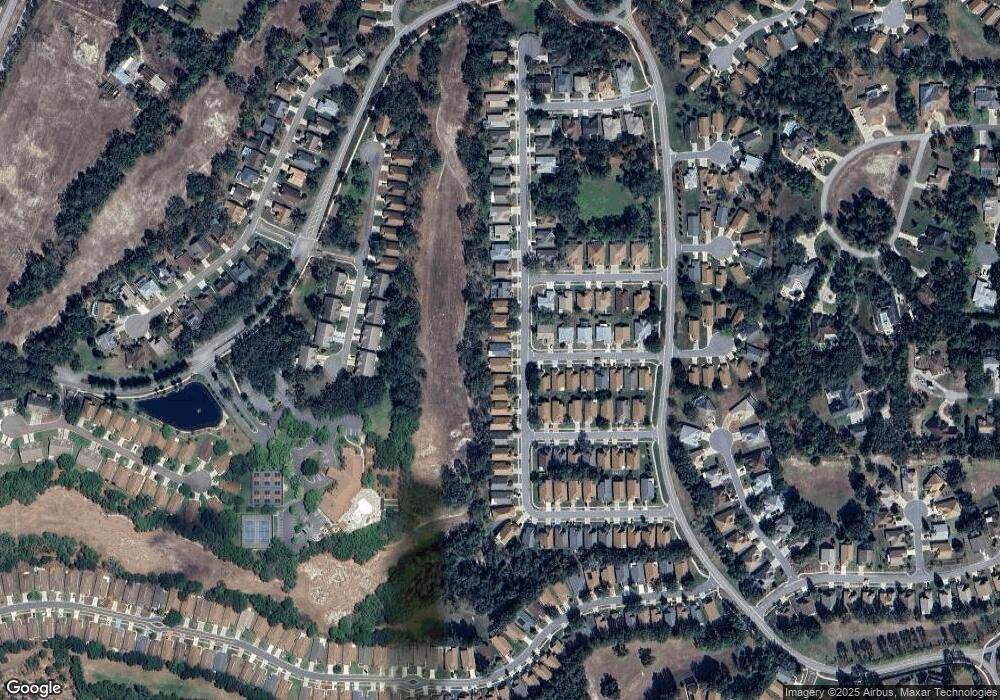
Map
Nearby Homes
- 371 Quane Ave
- 11261 McRacken Dr
- 453 Candlestone Ct
- 402 & 406 Candlestone Ct
- 401 & 405 Candlestone Ct
- 449 Candlestone Ct
- 432 Mistwood Ct
- 11323 Highlander Ct
- 412 Mistwood Ct
- 11330 Leeds Dr
- 11121 Cherrywood Ct
- 11343 Leeds Dr
- 0 Centerwood Ave Unit MFRTB8450965
- 232 Center Oak Cir
- 525 Bent Oak Ct
- 320 Mcintosh Ct
- 533 Bent Oak Ct
- 11264 Copley Ct
- 239 Longleaf Ct
- 11255 Copley Ct
- 387 387 Quane Ave
- 379 Quane Ave
- 387 Quane Ave
- 375 Quane Ave
- 395 Quane Ave
- 399 Quane Ave
- 11251 Musgrove Mill Dr
- 11248 Musgrove Mill Dr
- 11248 Musgrove
- 367 367 Quane Ave
- 403 Quane Ave
- 11256 Musgrove Mill Dr
- 11224 Chickasaw Dr
- 11259 Musgrove Mill Dr
- 363 Quane Ave
- 11245 McRacken Dr
- 11260 Musgrove Mill Dr
- 411 Quane Ave
- 11226 Chickasaw Dr
- 11257 McRacken Dr
Your Personal Tour Guide
Ask me questions while you tour the home.