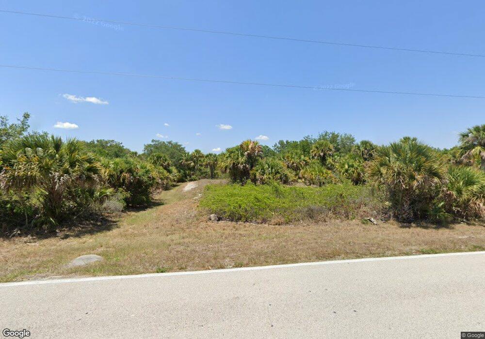
383 Ravenswood Blvd Port Charlotte, FL 33954
Estimated Value: $17,172 - $335,000
--
Bed
--
Bath
--
Sq Ft
10,019
Sq Ft Lot
About This Home
This home is located at 383 Ravenswood Blvd, Port Charlotte, FL 33954 and is currently estimated at $110,293. 383 Ravenswood Blvd is a home located in Charlotte County with nearby schools including Liberty Elementary School, Murdock Middle School, and Port Charlotte High School.
Ownership History
Date
Name
Owned For
Owner Type
Purchase Details
Closed on
Mar 24, 2014
Sold by
Hall Gerard
Bought by
Coral Bay Investments Llc
Current Estimated Value
Purchase Details
Closed on
Dec 11, 2007
Sold by
Harper Samantha Denyse Dawn
Bought by
Hall Gerard
Purchase Details
Closed on
Sep 1, 2004
Sold by
Tropical Gulf Properties Inc
Bought by
Harper Samantha Denyse Dawn
Purchase Details
Closed on
Feb 25, 2004
Sold by
Rice Robert Alan
Bought by
Tropical Gulf Prop Inc
Purchase Details
Closed on
Feb 19, 2004
Sold by
Wandschneider Betty H
Bought by
Rice Robert Alan
Create a Home Valuation Report for This Property
The Home Valuation Report is an in-depth analysis detailing your home's value as well as a comparison with similar homes in the area
Home Values in the Area
Average Home Value in this Area
Purchase History
| Date | Buyer | Sale Price | Title Company |
|---|---|---|---|
| Coral Bay Investments Llc | $7,500 | Cape Coral Title Insurance A | |
| Hall Gerard | $11,000 | None Available | |
| Harper Samantha Denyse Dawn | $37,500 | -- | |
| Tropical Gulf Prop Inc | -- | -- | |
| Rice Robert Alan | $2,000 | -- |
Source: Public Records
Tax History Compared to Growth
Tax History
| Year | Tax Paid | Tax Assessment Tax Assessment Total Assessment is a certain percentage of the fair market value that is determined by local assessors to be the total taxable value of land and additions on the property. | Land | Improvement |
|---|---|---|---|---|
| 2023 | $463 | $6,582 | $0 | $0 |
| 2022 | $430 | $13,600 | $13,600 | $0 |
| 2021 | $375 | $5,440 | $5,440 | $0 |
| 2020 | $360 | $5,032 | $5,032 | $0 |
| 2019 | $363 | $5,304 | $5,304 | $0 |
| 2018 | $359 | $5,576 | $5,576 | $0 |
| 2017 | $350 | $5,100 | $5,100 | $0 |
| 2016 | $341 | $4,556 | $0 | $0 |
| 2015 | $342 | $4,556 | $0 | $0 |
| 2014 | $334 | $4,556 | $0 | $0 |
Source: Public Records
Map
Nearby Homes
- 19060 Birdcall Ave
- 19061 Birdcall Ave
- 319 Ravenswood Blvd
- 410 Stevensville St
- 362 Stevensville St
- 405 Sycamore St
- 19053 Sheriff Ave
- 461 Celeste St
- 445 Sycamore St
- 19069 Mascoma Ave
- 478 Celeste St
- 422 Leona St
- 318 Leona St
- 422 Leona St Unit 16
- 271 Ravenswood Blvd
- 295 Ravenswood Blvd
- 486 Celeste St
- 438 Leona St
- 430 Ravenswood Blvd
- 19536 Kenilworth Blvd
- 375 Ravenswood Blvd
- 399 Ravenswood Blvd
- 19034 Woodbine Ave
- 384 Prineville St
- 392 Prineville St
- 19052 Woodbine Ave
- 360 Prineville St
- 19034 Birdcall Ave
- 19053 Birdcall Ave
- 352 Prineville St
- 19068 Birdcall Ave
- 19069 Birdcall Ave
- 19092 Birdcall Ave
- 19052 Birdcall Ave
- 19044 Birdcall Ave
- 423 Ravenswood Blvd
- 335 Ravenswood Blvd
- 344 Prineville St
- 399 Prineville St
- 398 & 406 Celeste St