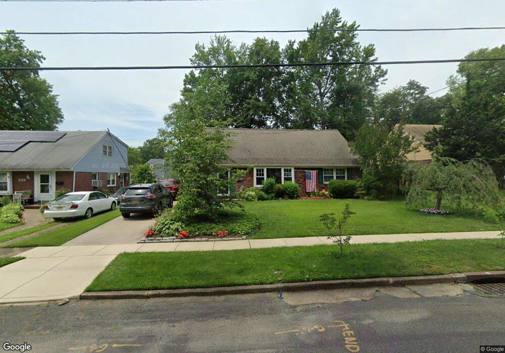
383 Tavistock Blvd Haddonfield, NJ 08033
Estimated Value: $441,000 - $523,000
--
Bed
--
Bath
2,142
Sq Ft
$225/Sq Ft
Est. Value
About This Home
This home is located at 383 Tavistock Blvd, Haddonfield, NJ 08033 and is currently estimated at $481,239, approximately $224 per square foot. 383 Tavistock Blvd is a home located in Camden County with nearby schools including Avon Elementary School and Woodland Elementary School.
Ownership History
Date
Name
Owned For
Owner Type
Purchase Details
Closed on
Aug 25, 1997
Sold by
Bomgardner George L
Bought by
Transue Joseph M and Transue Donna A
Current Estimated Value
Home Financials for this Owner
Home Financials are based on the most recent Mortgage that was taken out on this home.
Original Mortgage
$109,000
Outstanding Balance
$16,655
Interest Rate
7.31%
Estimated Equity
$464,584
Create a Home Valuation Report for This Property
The Home Valuation Report is an in-depth analysis detailing your home's value as well as a comparison with similar homes in the area
Home Values in the Area
Average Home Value in this Area
Purchase History
| Date | Buyer | Sale Price | Title Company |
|---|---|---|---|
| Transue Joseph M | $136,750 | -- |
Source: Public Records
Mortgage History
| Date | Status | Borrower | Loan Amount |
|---|---|---|---|
| Open | Transue Joseph M | $109,000 |
Source: Public Records
Tax History Compared to Growth
Tax History
| Year | Tax Paid | Tax Assessment Tax Assessment Total Assessment is a certain percentage of the fair market value that is determined by local assessors to be the total taxable value of land and additions on the property. | Land | Improvement |
|---|---|---|---|---|
| 2025 | $11,372 | $237,500 | $61,300 | $176,200 |
| 2024 | $10,490 | $237,500 | $61,300 | $176,200 |
| 2023 | $10,490 | $226,900 | $61,300 | $165,600 |
| 2022 | $10,265 | $226,900 | $61,300 | $165,600 |
| 2021 | $10,152 | $226,900 | $61,300 | $165,600 |
| 2020 | $9,984 | $226,900 | $61,300 | $165,600 |
| 2019 | $9,940 | $226,900 | $61,300 | $165,600 |
| 2018 | $9,748 | $226,900 | $61,300 | $165,600 |
| 2017 | $9,505 | $226,900 | $61,300 | $165,600 |
| 2016 | $9,411 | $250,900 | $88,500 | $162,400 |
| 2015 | $9,103 | $250,900 | $88,500 | $162,400 |
| 2014 | $8,719 | $250,900 | $88,500 | $162,400 |
Source: Public Records
Map
Nearby Homes
- 1201 Wayne Rd
- 425 Peltoma Rd
- 315 Hutchinson Ave
- 518 Carver Ct
- 523 Carver Ct
- 134 Kent Rd
- 104 Bell Ave
- 303 Highland Ave
- 95 Lane of Acres
- 301 Bradshaw Ave
- 351 Bellevue Ave
- 27 E Phoenix Ave
- 425 White Horse Pike
- 35 Colonial Ridge Dr
- 358 Quaker Rd
- 26 E Phoenix Ave
- 302 3rd Ave
- 0 Thomas Ave S
- 428 Mansfield Ave
- 320 Warwick Rd
- 387 Tavistock Blvd
- 379 Tavistock Blvd
- 375 Tavistock Blvd
- 391 Tavistock Blvd
- 1000 Wayne Rd
- 1001 Wayne Rd
- 371 Tavistock Blvd
- 1001 Oakwood Rd
- 1004 Wayne Rd
- 1005 Wayne Rd
- 968 Mercer Dr
- 962 Mercer Dr
- 367 Tavistock Blvd
- 1005 Oakwood Rd
- 1008 Wayne Rd
- 956 Mercer Dr
- 1009 Wayne Rd
- 396 Tavistock Blvd
- 1009 Oakwood Rd
- 1012 Mercer Dr