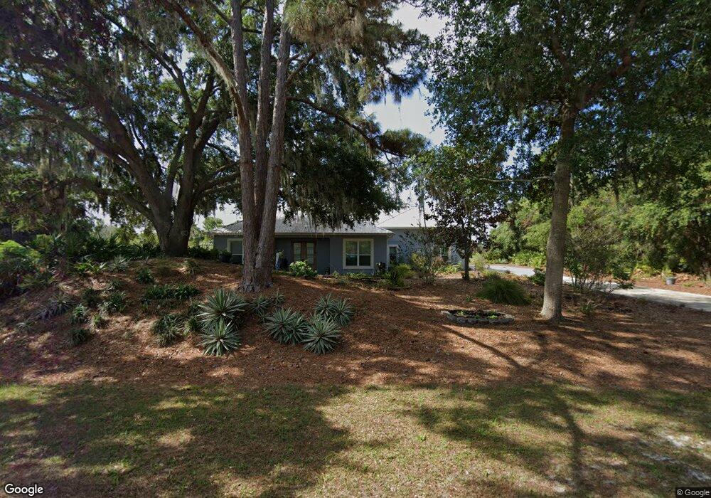
383 Walrock St Debary, FL 32713
Estimated Value: $481,515 - $551,000
2
Beds
3
Baths
2,262
Sq Ft
$225/Sq Ft
Est. Value
About This Home
This home is located at 383 Walrock St, Debary, FL 32713 and is currently estimated at $509,629, approximately $225 per square foot. 383 Walrock St is a home with nearby schools including Debary Elementary School, River Springs Middle School, and University High School.
Ownership History
Date
Name
Owned For
Owner Type
Purchase Details
Closed on
Sep 23, 2009
Sold by
Boland Judee R
Bought by
Rose Brenda R and Danoff Jerome S
Current Estimated Value
Purchase Details
Closed on
Jun 17, 2004
Sold by
Camry Homes Inc
Bought by
Boland Daniel
Purchase Details
Closed on
Jun 27, 2001
Sold by
Korzensky George Joseph
Bought by
Camry Homes Inc
Purchase Details
Closed on
Mar 17, 1997
Sold by
Korzensky George J and Korzensky George J
Bought by
Korzensky George Joseph
Create a Home Valuation Report for This Property
The Home Valuation Report is an in-depth analysis detailing your home's value as well as a comparison with similar homes in the area
Home Values in the Area
Average Home Value in this Area
Purchase History
| Date | Buyer | Sale Price | Title Company |
|---|---|---|---|
| Rose Brenda R | $45,000 | Dba Volusia Title Services | |
| Boland Daniel | -- | -- | |
| Camry Homes Inc | $20,000 | -- | |
| Korzensky George Joseph | -- | -- |
Source: Public Records
Tax History Compared to Growth
Tax History
| Year | Tax Paid | Tax Assessment Tax Assessment Total Assessment is a certain percentage of the fair market value that is determined by local assessors to be the total taxable value of land and additions on the property. | Land | Improvement |
|---|---|---|---|---|
| 2025 | $2,468 | $192,698 | -- | -- |
| 2024 | $2,468 | $187,268 | -- | -- |
| 2023 | $2,468 | $181,814 | $0 | $0 |
| 2022 | $2,404 | $176,518 | $0 | $0 |
| 2021 | $2,475 | $171,377 | $0 | $0 |
| 2020 | $2,457 | $169,011 | $0 | $0 |
| 2019 | $2,571 | $165,211 | $0 | $0 |
| 2018 | $2,483 | $162,131 | $0 | $0 |
| 2017 | $2,523 | $158,796 | $0 | $0 |
| 2016 | $2,423 | $155,530 | $0 | $0 |
| 2015 | $2,481 | $154,449 | $0 | $0 |
| 2014 | $2,449 | $153,223 | $0 | $0 |
Source: Public Records
Map
Nearby Homes
- 12 Craycroft Ave
- 40 Dial Ave
- 32 Fyfe Ave
- 340 Ruth Jennings Dr
- 0 Sanctuary Ave Unit MFRO6276050
- 116 Traders Cove Blvd
- 299 Lazio Cir
- 343 Lazio Cir
- 100 Verde Way
- 351 Lazio Cir
- 411 Lazio Cir
- 611 Fiorella Ct
- 455 Lazio Cir
- 10 Gracie Rd
- 206 Ancona Ave
- 100 Via Rosa Ct
- 281 Ancona Ave
- 157 Ambergate Ct
- 570 Lazio Cir
- 850 Lazio Cir