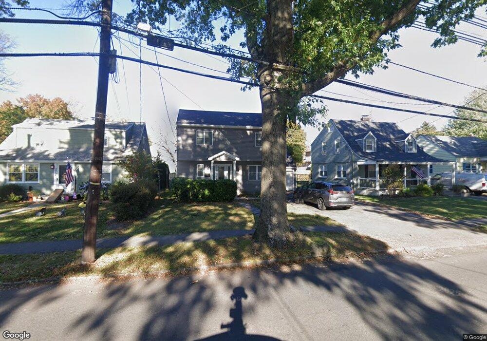
383 Westfield Rd Scotch Plains, NJ 07076
Estimated Value: $359,221 - $776,000
--
Bed
--
Bath
1,560
Sq Ft
$325/Sq Ft
Est. Value
About This Home
This home is located at 383 Westfield Rd, Scotch Plains, NJ 07076 and is currently estimated at $507,305, approximately $325 per square foot. 383 Westfield Rd is a home located in Union County with nearby schools including Evergreen Elementary School, Nettingham Middle School, and Scotch Plains-Fanwood High School.
Ownership History
Date
Name
Owned For
Owner Type
Purchase Details
Closed on
Aug 13, 2021
Sold by
Viscardi Arlene
Bought by
Viscardi Kathleen
Current Estimated Value
Home Financials for this Owner
Home Financials are based on the most recent Mortgage that was taken out on this home.
Original Mortgage
$200,000
Outstanding Balance
$181,588
Interest Rate
2.8%
Mortgage Type
New Conventional
Estimated Equity
$325,717
Purchase Details
Closed on
Sep 6, 1977
Bought by
Viscardi Pasquale and Viscardi Arlene
Create a Home Valuation Report for This Property
The Home Valuation Report is an in-depth analysis detailing your home's value as well as a comparison with similar homes in the area
Home Values in the Area
Average Home Value in this Area
Purchase History
| Date | Buyer | Sale Price | Title Company |
|---|---|---|---|
| Viscardi Kathleen | $250,000 | Chicago Title Insurance Co | |
| Viscardi Pasquale | $43,000 | -- |
Source: Public Records
Mortgage History
| Date | Status | Borrower | Loan Amount |
|---|---|---|---|
| Open | Viscardi Kathleen | $200,000 |
Source: Public Records
Tax History Compared to Growth
Tax History
| Year | Tax Paid | Tax Assessment Tax Assessment Total Assessment is a certain percentage of the fair market value that is determined by local assessors to be the total taxable value of land and additions on the property. | Land | Improvement |
|---|---|---|---|---|
| 2025 | $11,144 | $94,700 | $28,400 | $66,300 |
| 2024 | $10,359 | $94,700 | $28,400 | $66,300 |
| 2023 | $10,359 | $90,700 | $28,400 | $62,300 |
| 2022 | $10,236 | $90,700 | $28,400 | $62,300 |
| 2021 | $10,218 | $90,700 | $28,400 | $62,300 |
| 2020 | $10,169 | $90,700 | $28,400 | $62,300 |
| 2019 | $10,094 | $90,700 | $28,400 | $62,300 |
| 2018 | $9,924 | $90,700 | $28,400 | $62,300 |
| 2017 | $9,704 | $90,700 | $28,400 | $62,300 |
| 2016 | $9,517 | $90,700 | $28,400 | $62,300 |
| 2015 | $9,361 | $90,700 | $28,400 | $62,300 |
| 2014 | $9,053 | $90,700 | $28,400 | $62,300 |
Source: Public Records
Map
Nearby Homes
- 2085 Nicholl Ave
- 360 Cook Ave
- 2060 Mountain Ave
- 545 Westfield Rd
- 2227 Pine Terrace
- 2323 Belvedere Dr
- 215 Katherine St
- 217 William St
- 524 William St
- 417 Victor St
- 177 Pleasant Ave
- 2430 Mountain Ave
- 802 Donato Cir Unit A1
- 121 Donato Cir
- 24 Deborah Way
- 327 Jerusalem Rd
- 709 Donato Cir
- 7 Riga Ct
- 16 Riga Ct Unit 2B
- 26 Riga Ct Unit 3A
- 385 Westfield Rd
- 379 Westfield Rd
- 2208 Lyde Place
- 391 Westfield Rd
- 2211 Coles Ave
- 2212 Lyde Place
- 2213 Coles Ave
- 380 Westfield Rd
- 384 Westfield Rd
- 367 Westfield Rd
- 2216 Lyde Place
- 2106 Lyde Place
- 2219 Coles Ave
- 2211 Lyde Place
- 401 Westfield Rd
- 363 Westfield Rd
- 2220 Lyde Place
- 2215 Lyde Place
- 2098 Lyde Place
- 2221 Coles Ave