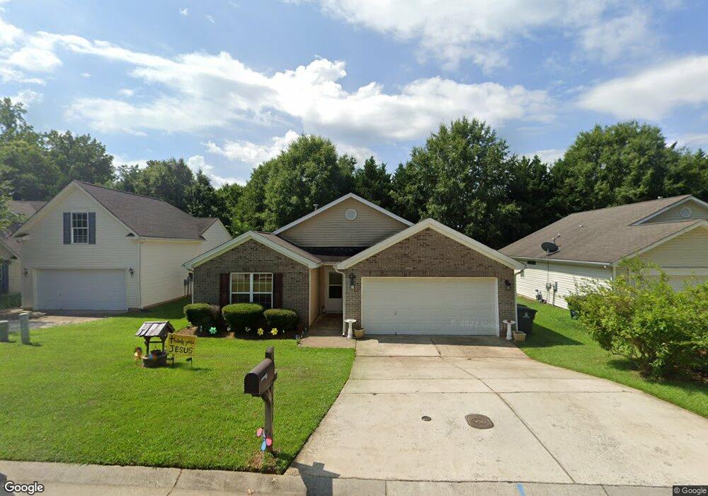
3830 Thornaby Cir Winston Salem, NC 27107
Estimated Value: $207,000 - $238,000
3
Beds
2
Baths
1,290
Sq Ft
$176/Sq Ft
Est. Value
About This Home
This home is located at 3830 Thornaby Cir, Winston Salem, NC 27107 and is currently estimated at $226,637, approximately $175 per square foot. 3830 Thornaby Cir is a home located in Forsyth County with nearby schools including Hall-Woodward Elementary School, Philo-Hill Magnet Academy, and R.B. Glenn High School.
Ownership History
Date
Name
Owned For
Owner Type
Purchase Details
Closed on
Feb 27, 2004
Sold by
The Ryland Group Inc
Bought by
Davis Angelica M
Current Estimated Value
Home Financials for this Owner
Home Financials are based on the most recent Mortgage that was taken out on this home.
Original Mortgage
$128,484
Outstanding Balance
$59,630
Interest Rate
5.68%
Mortgage Type
FHA
Estimated Equity
$167,007
Create a Home Valuation Report for This Property
The Home Valuation Report is an in-depth analysis detailing your home's value as well as a comparison with similar homes in the area
Home Values in the Area
Average Home Value in this Area
Purchase History
| Date | Buyer | Sale Price | Title Company |
|---|---|---|---|
| Davis Angelica M | $129,500 | -- |
Source: Public Records
Mortgage History
| Date | Status | Borrower | Loan Amount |
|---|---|---|---|
| Open | Davis Angelica M | $128,484 |
Source: Public Records
Tax History Compared to Growth
Tax History
| Year | Tax Paid | Tax Assessment Tax Assessment Total Assessment is a certain percentage of the fair market value that is determined by local assessors to be the total taxable value of land and additions on the property. | Land | Improvement |
|---|---|---|---|---|
| 2025 | $1,690 | $227,300 | $31,400 | $195,900 |
| 2024 | $1,613 | $120,500 | $25,700 | $94,800 |
| 2023 | $1,613 | $120,500 | $25,700 | $94,800 |
| 2022 | $1,583 | $120,500 | $25,700 | $94,800 |
| 2021 | $1,555 | $120,500 | $25,700 | $94,800 |
| 2020 | $1,232 | $89,200 | $23,800 | $65,400 |
| 2019 | $1,241 | $89,200 | $23,800 | $65,400 |
| 2018 | $1,178 | $89,200 | $23,800 | $65,400 |
| 2016 | $1,279 | $97,152 | $22,562 | $74,590 |
| 2015 | $1,260 | $97,152 | $22,562 | $74,590 |
| 2014 | $1,222 | $97,152 | $22,562 | $74,590 |
Source: Public Records
Map
Nearby Homes
- 3514 Landis St SE
- 3520 Landis St SE
- 3532 Landis St SE
- 3538 Landis St SE
- 3544 Landis St SE
- 137 Vogler Dr
- 3422 Robindale Dr
- 3428 Robindale Dr
- 421 Robindale Ct
- 3435 Robindale Dr
- 3441 Robindale Dr
- 3458 Robindale Dr
- 3447 Robindale Dr
- 3453 Robindale Dr
- 301 Bedford Park Dr
- 3471 Robindale Dr
- 3598 Robindale Dr
- 0 Green Point Rd
- Ashe Plan at Robindale
- Erie Plan at Robindale
- 3820 Thornaby Cir
- 3840 Thornaby Cir
- 3850 Thornaby Cir
- 3810 Thornaby Cir
- 3835 Thornaby Cir
- 3860 Thornaby Cir
- 3825 Thornaby Cir
- 3845 Thornaby Cir
- 3800 Thornaby Cir
- 3790 Thornaby Cir
- 3790 Thornaby Cir Unit 47
- 3855 Thornaby Cir
- 3780 Thornaby Cir
- 3870 Thornaby Cir
- 139 Wayside Dr
- 3865 Thornaby Cir
- 3770 Thornaby Cir
- 3755 Thornaby Cir
- 3880 Thornaby Cir
- 3875 Thornaby Cir