Estimated Value: $793,000 - $954,235
3
Beds
3
Baths
2,425
Sq Ft
$350/Sq Ft
Est. Value
About This Home
This home is located at 38310 NE 124th Ave, Amboy, WA 98601 and is currently estimated at $849,559, approximately $350 per square foot. 38310 NE 124th Ave is a home located in Clark County with nearby schools including Yacolt Primary School, Amboy Middle School, and Battle Ground High School.
Ownership History
Date
Name
Owned For
Owner Type
Purchase Details
Closed on
Feb 24, 2006
Sold by
Choi Lynda
Bought by
Lawinco Lp
Current Estimated Value
Home Financials for this Owner
Home Financials are based on the most recent Mortgage that was taken out on this home.
Original Mortgage
$246,000
Outstanding Balance
$137,959
Interest Rate
6.04%
Mortgage Type
Purchase Money Mortgage
Estimated Equity
$711,600
Purchase Details
Closed on
May 24, 2002
Sold by
Schroeder John B and Schroeder Merlin A
Bought by
Choi Lynda
Home Financials for this Owner
Home Financials are based on the most recent Mortgage that was taken out on this home.
Original Mortgage
$256,000
Interest Rate
6.83%
Create a Home Valuation Report for This Property
The Home Valuation Report is an in-depth analysis detailing your home's value as well as a comparison with similar homes in the area
Home Values in the Area
Average Home Value in this Area
Purchase History
| Date | Buyer | Sale Price | Title Company |
|---|---|---|---|
| Lawinco Lp | $295,000 | Fidelity National Title | |
| Choi Lynda | -- | Chicago Title Insurance |
Source: Public Records
Mortgage History
| Date | Status | Borrower | Loan Amount |
|---|---|---|---|
| Open | Lawinco Lp | $246,000 | |
| Previous Owner | Choi Lynda | $256,000 |
Source: Public Records
Tax History Compared to Growth
Tax History
| Year | Tax Paid | Tax Assessment Tax Assessment Total Assessment is a certain percentage of the fair market value that is determined by local assessors to be the total taxable value of land and additions on the property. | Land | Improvement |
|---|---|---|---|---|
| 2025 | $7,874 | $845,239 | $274,486 | $570,753 |
| 2024 | $6,311 | $798,960 | $274,486 | $524,474 |
| 2023 | $6,707 | $801,549 | $273,760 | $527,789 |
| 2022 | $6,634 | $790,311 | $267,774 | $522,537 |
| 2021 | $6,171 | $654,939 | $205,534 | $449,405 |
| 2020 | $5,966 | $620,880 | $203,161 | $417,719 |
| 2019 | $5,054 | $582,427 | $199,181 | $383,246 |
| 2018 | $6,541 | $569,287 | $0 | $0 |
| 2017 | $5,138 | $502,882 | $0 | $0 |
| 2016 | $4,857 | $486,468 | $0 | $0 |
| 2015 | $5,388 | $421,020 | $0 | $0 |
| 2014 | -- | $399,295 | $0 | $0 |
| 2013 | -- | $335,956 | $0 | $0 |
Source: Public Records
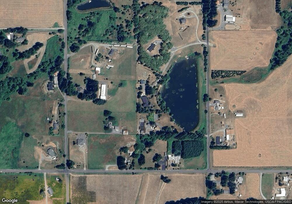
Map
Nearby Homes
- 11600 NE 379th St
- 11410 NE 379th St
- 35814 NE 111th Ave
- 13500 NE 406th St
- 39701 NE 94th Ave
- 0 NE Hazen Ave
- 14327 NE 359th St
- 35003 NE 119th Ave
- 15116 NE Grantham Rd
- 39812 NE 94th Ave
- 14900 NE 399th St
- 37119 NE 86th Place
- 35016 NE Gable Ave
- 34821 NE Gable Ave
- 35600 NE 92nd Ct
- 12917 NE Cedar Creek Rd
- 14216 NE 346th St
- 16000 NE Grantham Rd
- 16006 NE Grantham Rd
- 14011 NE 346th St
- 38002 NE 124th Ave
- 38005 NE 119th Ave
- 38117 NE 119th Ave
- 12214 NE 379th St
- 38306 NE 124th Ave
- 38309 NE 119th Ave
- 12110 NE 379th St
- 12000 NE 379th St
- 38302 NE 124th Ave
- 38109 NE 124th Ave
- 38303 NE 124th Ave
- 0 NE 124th Ave
- 0 NE 119th Ave
- 11800 NE 379th St
- 38608 NE 124th Ave
- 12417 NE 379th St
- 38104 NE 119th Ave
- 38300 NE 119th Ave
- 38503 NE 119th Ave
- 38415 NE 124th Ave