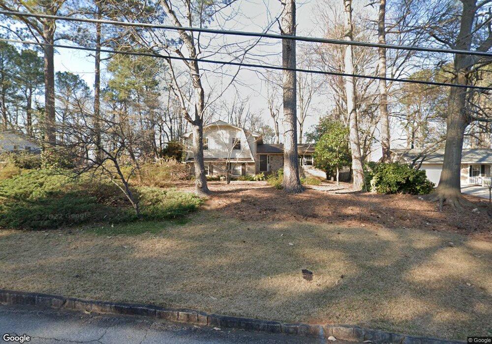
3832 Foxford Dr Unit 2 Atlanta, GA 30340
Pittsburg NeighborhoodEstimated Value: $503,728 - $623,000
4
Beds
3
Baths
2,150
Sq Ft
$265/Sq Ft
Est. Value
About This Home
This home is located at 3832 Foxford Dr Unit 2, Atlanta, GA 30340 and is currently estimated at $569,182, approximately $264 per square foot. 3832 Foxford Dr Unit 2 is a home located in DeKalb County with nearby schools including Pleasantdale Elementary School, Henderson Middle School, and Lakeside High School.
Ownership History
Date
Name
Owned For
Owner Type
Purchase Details
Closed on
Jun 11, 1999
Sold by
Beall Dr Bernard W
Bought by
Beall Bernard W
Current Estimated Value
Purchase Details
Closed on
Mar 30, 1994
Sold by
Jarrett Diane D
Bought by
Beall Dr Bernard W
Home Financials for this Owner
Home Financials are based on the most recent Mortgage that was taken out on this home.
Original Mortgage
$110,000
Interest Rate
7.26%
Create a Home Valuation Report for This Property
The Home Valuation Report is an in-depth analysis detailing your home's value as well as a comparison with similar homes in the area
Home Values in the Area
Average Home Value in this Area
Purchase History
| Date | Buyer | Sale Price | Title Company |
|---|---|---|---|
| Beall Bernard W | -- | -- | |
| Beall Dr Bernard W | $137,500 | -- |
Source: Public Records
Mortgage History
| Date | Status | Borrower | Loan Amount |
|---|---|---|---|
| Previous Owner | Beall Dr Bernard W | $110,000 |
Source: Public Records
Tax History Compared to Growth
Tax History
| Year | Tax Paid | Tax Assessment Tax Assessment Total Assessment is a certain percentage of the fair market value that is determined by local assessors to be the total taxable value of land and additions on the property. | Land | Improvement |
|---|---|---|---|---|
| 2024 | $4,749 | $160,920 | $39,280 | $121,640 |
| 2023 | $4,749 | $156,080 | $39,280 | $116,800 |
| 2022 | $3,904 | $125,920 | $39,280 | $86,640 |
| 2021 | $3,578 | $111,800 | $39,280 | $72,520 |
| 2020 | $3,650 | $114,680 | $39,280 | $75,400 |
| 2019 | $3,751 | $120,520 | $39,280 | $81,240 |
| 2018 | $3,630 | $115,240 | $39,280 | $75,960 |
| 2017 | $3,484 | $103,960 | $39,280 | $64,680 |
| 2016 | $3,249 | $97,200 | $39,280 | $57,920 |
| 2014 | $2,870 | $84,480 | $39,280 | $45,200 |
Source: Public Records
Map
Nearby Homes
- 3362 Northbrook Dr
- 3352 Northbrook Dr
- 3719 Northbrook Ct
- 3403 Spring Harbour Dr
- 3444 Washington Way
- 3396 Misty Harbour Trail
- 3396 Misty Harbor Trail
- 3390 Misty Harbour Trail
- 3919 Woodridge Way
- 3923 Woodridge Way
- 3360 Hidden Acres Dr
- 3468 Washington Way
- 3474 Washington Way
- 3991 Woodridge Way
- 3414 Bayshore Dr
- 3987 Woodridge Way
- 4005 Woodridge Way
- 3824 Foxford Dr
- 3842 Foxford Dr
- 0 Foxford Dr Unit 7421750
- 0 Foxford Dr Unit 7293626
- 0 Foxford Dr Unit 3225899
- 0 Foxford Dr Unit 8369739
- 0 Foxford Dr Unit 7473311
- 3340 Lynnray Dr Unit 1
- 3816 Foxford Dr
- 3330 Lynnray Dr
- 3341 Foxford Ct
- 3348 Lynnray Dr
- 0 Foxford Ct Unit 3227821
- 0 Foxford Ct Unit 8027139
- 0 Foxford Ct
- 3316 Lynnray Dr
- 3298 Lynnray Dr
- 3837 Foxford Dr
- 3847 Foxford Dr
- 3808 Foxford Dr