Estimated Value: $391,000 - $455,000
4
Beds
3
Baths
2,214
Sq Ft
$190/Sq Ft
Est. Value
About This Home
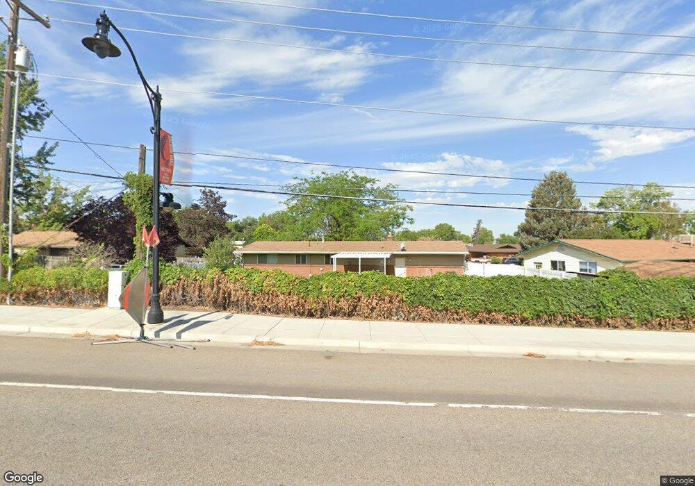
This home is located at 3832 S 1925 W, Roy, UT 84067 and is currently estimated at $419,943, approximately $189 per square foot. 3832 S 1925 W is a home located in Weber County with nearby schools including North Park School, Sand Ridge Junior High School, and Roy High School.
Ownership History
Date
Name
Owned For
Owner Type
Purchase Details
Closed on
Dec 9, 2015
Sold by
Cave Tyson S and Cave Kirsten A
Bought by
Anderson Nicholas K
Current Estimated Value
Home Financials for this Owner
Home Financials are based on the most recent Mortgage that was taken out on this home.
Original Mortgage
$8,600
Outstanding Balance
$6,765
Interest Rate
3.71%
Mortgage Type
Stand Alone Second
Estimated Equity
$413,178
Purchase Details
Closed on
Jul 10, 2013
Sold by
Cave Douglas Shane
Bought by
Cave Tyson S and Cave Kirsten A
Home Financials for this Owner
Home Financials are based on the most recent Mortgage that was taken out on this home.
Original Mortgage
$127,153
Interest Rate
3.25%
Mortgage Type
FHA
Create a Home Valuation Report for This Property
The Home Valuation Report is an in-depth analysis detailing your home's value as well as a comparison with similar homes in the area
Home Values in the Area
Average Home Value in this Area
Purchase History
| Date | Buyer | Sale Price | Title Company |
|---|---|---|---|
| Anderson Nicholas K | -- | Backman Title Services Ltd | |
| Cave Tyson S | -- | Mountain View Title Ogden |
Source: Public Records
Mortgage History
| Date | Status | Borrower | Loan Amount |
|---|---|---|---|
| Open | Anderson Nicholas K | $8,600 | |
| Open | Anderson Nicholas K | $181,649 | |
| Previous Owner | Cave Tyson S | $127,153 |
Source: Public Records
Tax History
| Year | Tax Paid | Tax Assessment Tax Assessment Total Assessment is a certain percentage of the fair market value that is determined by local assessors to be the total taxable value of land and additions on the property. | Land | Improvement |
|---|---|---|---|---|
| 2025 | $2,572 | $406,939 | $118,287 | $288,652 |
| 2024 | $2,510 | $219,999 | $65,113 | $154,886 |
| 2023 | $2,408 | $211,200 | $61,181 | $150,019 |
| 2022 | $2,451 | $221,650 | $52,997 | $168,653 |
| 2021 | $2,028 | $301,000 | $66,255 | $234,745 |
| 2020 | $1,835 | $249,000 | $66,255 | $182,745 |
| 2019 | $1,897 | $244,000 | $41,044 | $202,956 |
| 2018 | $1,736 | $209,000 | $35,936 | $173,064 |
| 2017 | $1,635 | $184,000 | $33,951 | $150,049 |
| 2016 | $1,509 | $90,698 | $13,631 | $77,067 |
| 2015 | $1,244 | $74,932 | $16,938 | $57,994 |
| 2014 | $1,197 | $70,905 | $16,938 | $53,967 |
Source: Public Records
Map
Nearby Homes
- 1910 W 3920 S
- 1940 W 3920 S
- 3800 S 1900 W Unit 196
- 3800 S 1900 W Unit 257
- 3800 S 1900 W Unit 248
- 3800 S 1900 W Unit 111
- 3800 S 1900 W Unit 144
- 3800 S 1900 W Unit 28
- 3800 S 1900 W Unit 66
- 3800 S 1900 W Unit 163
- 3800 S 1900 W Unit 295
- 3800 S 1900 W Unit 241
- 3800 S 1900 W Unit 133
- 3800 S 1900 W Unit 72
- 3923 S 1975 W Unit 15
- 1959 3985 St S Unit 2
- 3705 S 2025 W
- 2240 W 3875 S
- 4047 S 2175 W
- 4061 S 2175 W
Your Personal Tour Guide
Ask me questions while you tour the home.