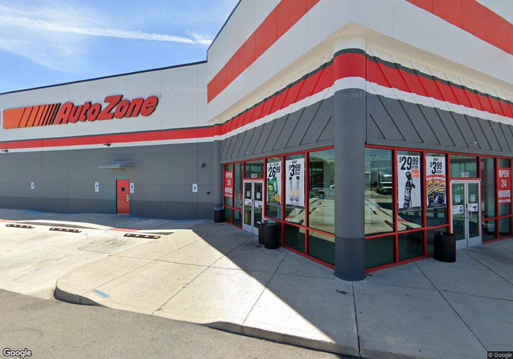
3833 W Broad St Columbus, OH 43228
Estimated Value: $4,349,409
--
Bed
--
Bath
40,600
Sq Ft
$107/Sq Ft
Est. Value
About This Home
This home is located at 3833 W Broad St, Columbus, OH 43228 and is currently estimated at $4,349,409, approximately $107 per square foot. 3833 W Broad St is a home located in Franklin County with nearby schools including Eakin Elementary School, Wedgewood Middle School, and Briggs High School.
Ownership History
Date
Name
Owned For
Owner Type
Purchase Details
Closed on
Aug 1, 2016
Sold by
Frayer David P and Frayer Kendal L
Bought by
Autozone Development Llc
Current Estimated Value
Purchase Details
Closed on
Oct 15, 2013
Sold by
3833 West Broad Street Llc
Bought by
Peresetsky Dmitry
Purchase Details
Closed on
Mar 13, 2006
Sold by
Scs Development
Bought by
3833 West Broad Street Llc
Purchase Details
Closed on
Jul 17, 1990
Bought by
Scs Development
Purchase Details
Closed on
Jul 13, 1990
Purchase Details
Closed on
Oct 28, 1988
Create a Home Valuation Report for This Property
The Home Valuation Report is an in-depth analysis detailing your home's value as well as a comparison with similar homes in the area
Home Values in the Area
Average Home Value in this Area
Purchase History
| Date | Buyer | Sale Price | Title Company |
|---|---|---|---|
| Autozone Development Llc | $2,100,000 | Independence Title Services | |
| Peresetsky Dmitry | $900,000 | None Available | |
| 3833 West Broad Street Llc | $2,035,000 | Principle | |
| Scs Development | -- | -- | |
| -- | -- | -- | |
| -- | -- | -- |
Source: Public Records
Tax History Compared to Growth
Tax History
| Year | Tax Paid | Tax Assessment Tax Assessment Total Assessment is a certain percentage of the fair market value that is determined by local assessors to be the total taxable value of land and additions on the property. | Land | Improvement |
|---|---|---|---|---|
| 2024 | $66,623 | $897,620 | $201,290 | $696,330 |
| 2023 | $65,569 | $897,620 | $201,290 | $696,330 |
| 2022 | $57,876 | $771,750 | $185,150 | $586,600 |
| 2021 | $58,124 | $771,750 | $185,150 | $586,600 |
| 2020 | $57,725 | $771,750 | $185,150 | $586,600 |
| 2019 | $60,535 | $735,000 | $176,330 | $558,670 |
| 2018 | $43,825 | $735,000 | $176,330 | $558,670 |
| 2017 | $60,703 | $712,430 | $176,330 | $536,100 |
| 2016 | $45,995 | $483,140 | $165,550 | $317,590 |
| 2015 | $25,452 | $315,000 | $165,550 | $149,450 |
| 2014 | $48,336 | $315,000 | $165,550 | $149,450 |
| 2013 | $23,810 | $595,000 | $165,550 | $429,450 |
Source: Public Records
Map
Nearby Homes
- 147 Coolidge Ave
- 94 Florence Ave
- 139 Demorest Ave
- 195 S Sylvan Ave
- 3938 Halsey Place
- 4006 Halsey Place
- 38 Powhatan Ave
- 638 Fairmoor Place
- 36-38 Orel Ave
- 3831 Fairmoor Rd
- 77 S Brinker Ave
- 99 N Brinker Ave Unit 101
- 644 Georgian Dr
- 133 S Brinker Ave
- 4202 Atlanta Dr
- 139 Garden Heights Ave
- 0 S Brinker Ave
- 3100 Steele Ave
- 743 Holly Hill Dr
- 3300-3302 Sullivant Ave