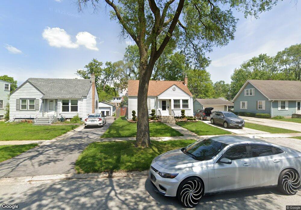
3834 216th Place Matteson, IL 60443
Old Matteson NeighborhoodEstimated Value: $162,451 - $226,000
4
Beds
2
Baths
1,140
Sq Ft
$163/Sq Ft
Est. Value
About This Home
This home is located at 3834 216th Place, Matteson, IL 60443 and is currently estimated at $186,113, approximately $163 per square foot. 3834 216th Place is a home located in Cook County with nearby schools including Illinois School, Matteson Elementary School, and Sauk Elementary School.
Ownership History
Date
Name
Owned For
Owner Type
Purchase Details
Closed on
Aug 23, 2012
Sold by
Wasik Arthur S
Bought by
Mosley Ukeda L
Current Estimated Value
Home Financials for this Owner
Home Financials are based on the most recent Mortgage that was taken out on this home.
Original Mortgage
$85,914
Outstanding Balance
$59,105
Interest Rate
3.75%
Mortgage Type
FHA
Estimated Equity
$127,008
Purchase Details
Closed on
Apr 7, 2011
Sold by
North Star Trust Company
Bought by
Arthur S Wasik Living Trust
Create a Home Valuation Report for This Property
The Home Valuation Report is an in-depth analysis detailing your home's value as well as a comparison with similar homes in the area
Home Values in the Area
Average Home Value in this Area
Purchase History
| Date | Buyer | Sale Price | Title Company |
|---|---|---|---|
| Mosley Ukeda L | $87,500 | None Available | |
| Arthur S Wasik Living Trust | -- | None Available |
Source: Public Records
Mortgage History
| Date | Status | Borrower | Loan Amount |
|---|---|---|---|
| Open | Mosley Ukeda L | $85,914 |
Source: Public Records
Tax History
| Year | Tax Paid | Tax Assessment Tax Assessment Total Assessment is a certain percentage of the fair market value that is determined by local assessors to be the total taxable value of land and additions on the property. | Land | Improvement |
|---|---|---|---|---|
| 2025 | $3,176 | $11,000 | $2,483 | $8,517 |
| 2024 | $3,176 | $11,000 | $2,483 | $8,517 |
| 2023 | $1,722 | $11,000 | $2,483 | $8,517 |
| 2022 | $1,722 | $6,596 | $2,173 | $4,423 |
| 2021 | $2,271 | $7,460 | $2,172 | $5,288 |
| 2020 | $2,220 | $7,460 | $2,172 | $5,288 |
| 2019 | $2,567 | $8,390 | $2,017 | $6,373 |
| 2018 | $2,564 | $8,390 | $2,017 | $6,373 |
| 2017 | $2,491 | $8,390 | $2,017 | $6,373 |
| 2016 | $2,691 | $7,969 | $1,862 | $6,107 |
| 2015 | $2,606 | $7,969 | $1,862 | $6,107 |
| 2014 | $2,550 | $7,969 | $1,862 | $6,107 |
| 2013 | $2,547 | $8,530 | $1,862 | $6,668 |
Source: Public Records
Map
Nearby Homes
- 21616 Richmond Rd
- 21406 S Jean Ave
- 3704 215th St Unit 105
- 3727 214th Place Unit 2
- 3919 214th St
- 3624 216th St
- 3615 214th St
- 3704 Linden Rd
- 5085 Euclid Ln
- 21945 Millard Ave
- 3421 Station Dr
- 21142 Locust St
- 3719 211th Place
- 3435 218th Place
- 4430 Maple Ave
- 21617 Dogwood Rd Unit 1125
- 21635 Dogwood Rd Unit 1165
- 338 Waldmann Dr
- 409 Winnemac St
- 4448 Maple Ave
Your Personal Tour Guide
Ask me questions while you tour the home.