3834 Lewin Ave Baltimore, MD 21215
Lucille Park NeighborhoodEstimated Value: $893,531
Studio
--
Bath
14,000
Sq Ft
$64/Sq Ft
Est. Value
About This Home
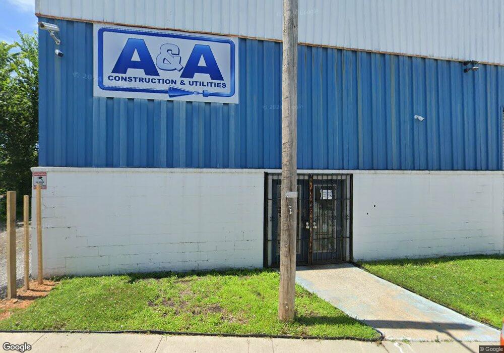
This home is located at 3834 Lewin Ave, Baltimore, MD 21215 and is currently estimated at $893,531, approximately $63 per square foot. 3834 Lewin Ave is a home located in Baltimore City with nearby schools including Pimlico Elementary School, Booker T. Washington Middle School, and Forest Park High School.
Ownership History
Date
Name
Owned For
Owner Type
Purchase Details
Closed on
Mar 22, 2007
Sold by
Hilton Street Properties Inc
Bought by
3834 Lewin Avenue Llc
Current Estimated Value
Home Financials for this Owner
Home Financials are based on the most recent Mortgage that was taken out on this home.
Original Mortgage
$524,000
Outstanding Balance
$319,593
Interest Rate
6.4%
Mortgage Type
Commercial
Estimated Equity
$573,938
Purchase Details
Closed on
Sep 12, 2006
Sold by
Alden Frederick A
Bought by
Hilton Street Properties Inc
Home Financials for this Owner
Home Financials are based on the most recent Mortgage that was taken out on this home.
Original Mortgage
$245,000
Interest Rate
6.83%
Create a Home Valuation Report for This Property
The Home Valuation Report is an in-depth analysis detailing your home's value as well as a comparison with similar homes in the area
Home Values in the Area
Average Home Value in this Area
Purchase History
| Date | Buyer | Sale Price | Title Company |
|---|---|---|---|
| 3834 Lewin Avenue Llc | $460,000 | -- | |
| Hilton Street Properties Inc | $250,000 | -- |
Source: Public Records
Mortgage History
| Date | Status | Borrower | Loan Amount |
|---|---|---|---|
| Open | 3834 Lewin Avenue Llc | $524,000 | |
| Previous Owner | Hilton Street Properties Inc | $245,000 |
Source: Public Records
Tax History
| Year | Tax Paid | Tax Assessment Tax Assessment Total Assessment is a certain percentage of the fair market value that is determined by local assessors to be the total taxable value of land and additions on the property. | Land | Improvement |
|---|---|---|---|---|
| 2025 | $11,795 | $507,333 | -- | -- |
| 2024 | $11,795 | $502,200 | $109,600 | $392,600 |
| 2023 | $11,604 | $494,067 | $0 | $0 |
| 2022 | $11,468 | $485,933 | $0 | $0 |
| 2021 | $11,276 | $477,800 | $109,600 | $368,200 |
| 2020 | $11,111 | $470,800 | $0 | $0 |
| 2019 | $10,893 | $463,800 | $0 | $0 |
| 2018 | $10,780 | $456,800 | $109,600 | $347,200 |
| 2017 | $10,371 | $439,433 | $0 | $0 |
| 2016 | $8,456 | $422,067 | $0 | $0 |
| 2015 | $8,456 | $404,700 | $0 | $0 |
| 2014 | $8,456 | $404,700 | $0 | $0 |
Source: Public Records
Map
Nearby Homes
- 3824 Beehler Ave
- 4900 Reisterstown Rd
- 4801 Cordelia Ave
- 4811 Reisterstown Rd
- 4803 Cordelia Ave
- 4807 Cordelia Ave
- 3710 Oakmont Ave
- 3728 Beehler Ave
- 3721 Manchester Ave
- 4831 Cordelia Ave
- 3716 Columbus Dr
- 4908 Cordelia Ave
- 3729 Beehler Ave
- 3716 Beehler Ave
- 3709 Columbus Dr
- 4911 Cordelia Ave
- 3800 Fernhill Ave
- 3625 Oakmont Ave
- 3702 Arcadia Ave
- 3617 Manchester Ave
- 3832 Lewin Ave
- 3830 Lewin Ave
- 4820 E Wabash Ave
- 4900 Snader Ave
- 3835 Lewin Ave
- 4815 Snader Ave
- 3833 Lewin Ave
- 4813 Snader Ave
- 4811 Snader Ave
- 4809 Snader Ave
- 3831 Lewin Ave
- 4807 Snader Ave
- 4809 E Wabash Ave
- 4410 Lewin Ave
- 4805 Snader Ave
- 4803 Snader Ave
- 3829 Lewin Ave
- 3811 Fear Ave
- 4801 Snader Ave
- 3827 Lewin Ave
Your Personal Tour Guide
Ask me questions while you tour the home.