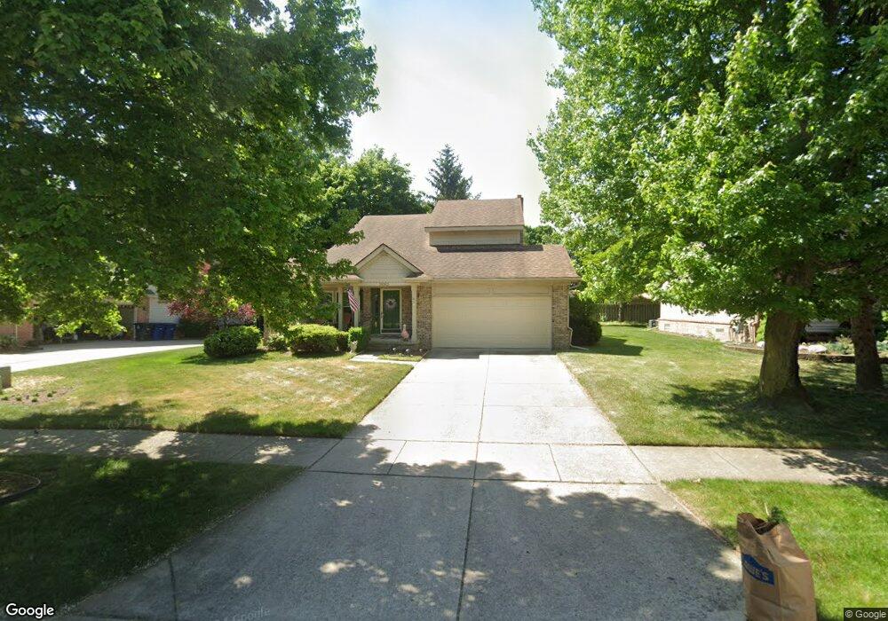
38363 Oakwest Dr Westland, MI 48185
Estimated Value: $383,000 - $413,000
3
Beds
3
Baths
1,737
Sq Ft
$228/Sq Ft
Est. Value
About This Home
This home is located at 38363 Oakwest Dr, Westland, MI 48185 and is currently estimated at $395,933, approximately $227 per square foot. 38363 Oakwest Dr is a home located in Wayne County with nearby schools including Rosedale Elementary, Johnson Upper Elementary School, and Frost Middle School.
Ownership History
Date
Name
Owned For
Owner Type
Purchase Details
Closed on
Mar 3, 2010
Sold by
Mccann Dennis P and Mccann Kathleen A
Bought by
Federal Home Loan Mortgage Corp
Current Estimated Value
Purchase Details
Closed on
Jan 15, 1999
Sold by
Reuter Patricia J
Bought by
Mccann Dennis P
Purchase Details
Closed on
Dec 6, 1994
Sold by
Hix Dev Inc
Bought by
Heritage Residential Group Inc
Create a Home Valuation Report for This Property
The Home Valuation Report is an in-depth analysis detailing your home's value as well as a comparison with similar homes in the area
Home Values in the Area
Average Home Value in this Area
Purchase History
| Date | Buyer | Sale Price | Title Company |
|---|---|---|---|
| Federal Home Loan Mortgage Corp | $231,521 | None Available | |
| Mccann Dennis P | $200,000 | -- | |
| Heritage Residential Group Inc | $41,000 | -- |
Source: Public Records
Tax History Compared to Growth
Tax History
| Year | Tax Paid | Tax Assessment Tax Assessment Total Assessment is a certain percentage of the fair market value that is determined by local assessors to be the total taxable value of land and additions on the property. | Land | Improvement |
|---|---|---|---|---|
| 2025 | $4,606 | $160,500 | $0 | $0 |
| 2024 | $4,606 | $160,700 | $0 | $0 |
| 2023 | $4,330 | $155,800 | $0 | $0 |
| 2022 | $5,701 | $130,400 | $0 | $0 |
| 2021 | $6,196 | $123,800 | $0 | $0 |
| 2020 | $5,659 | $102,600 | $0 | $0 |
| 2019 | $5,794 | $98,200 | $0 | $0 |
| 2018 | $9,512 | $103,000 | $0 | $0 |
| 2017 | $3,850 | $101,700 | $0 | $0 |
| 2016 | $4,672 | $98,800 | $0 | $0 |
| 2015 | $7,801 | $86,790 | $0 | $0 |
| 2013 | $7,557 | $79,020 | $0 | $0 |
| 2012 | $3,082 | $85,210 | $0 | $0 |
Source: Public Records
Map
Nearby Homes
- 38489 Sycamore Ct Unit 89
- 38508 Alma Ln
- 37742 Colonial Dr
- 37674 Colonial Dr S
- 7908 Everett Dr
- 38671 Belliveau St
- 7655 Koppernick Rd
- 39500 Warren Rd Unit 167
- 39500 Warren Rd Unit 53
- 39500 Warren Rd Unit 98
- 7970 Russell Dr
- 8894 Knolson Ave
- 37739 Northfield Ave
- 378 E Oak
- 39122 Dover St
- 8231 Holly Dr
- 8364 Holly Dr
- 219 W Fern
- 38876 Northfield Ave
- 7630 Woodview St Unit 2
- 38375 Oakwest Dr
- 38351 Oakwest Dr
- 7626 N Hix Rd
- 38387 Oakwest Dr
- 38339 Oakwest Dr
- 38362 Oakwest Dr
- 38374 Oakwest Dr
- 38350 Oakwest Dr
- 38386 Oakwest Dr
- 38327 Oakwest Dr
- 7673 N Hix Rd
- 38367 Burkland Ct
- 7606 N Hix Rd
- 38379 Burkland Ct
- 38302 Oakwest Dr
- 38315 Oakwest Dr
- 38355 Burkland Ct
- 38391 Burkland Ct
- 38343 Burkland Ct
- 38290 Oakwest Dr