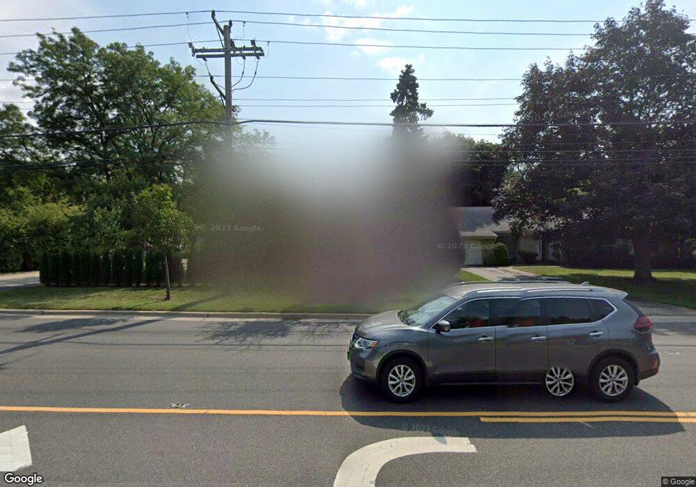
3837 Golf Rd Evanston, IL 60203
North Skokie NeighborhoodEstimated Value: $673,000 - $868,000
5
Beds
3
Baths
2,686
Sq Ft
$292/Sq Ft
Est. Value
About This Home
This home is located at 3837 Golf Rd, Evanston, IL 60203 and is currently estimated at $782,991, approximately $291 per square foot. 3837 Golf Rd is a home located in Cook County with nearby schools including Walker Elementary School, Chute Middle School, and Evanston Township High School.
Ownership History
Date
Name
Owned For
Owner Type
Purchase Details
Closed on
Aug 14, 2019
Sold by
Berk Jeffrey S and Berk Ronna Pritikin
Bought by
Achina Daniel and Stockwell Rebekah
Current Estimated Value
Home Financials for this Owner
Home Financials are based on the most recent Mortgage that was taken out on this home.
Original Mortgage
$479,612
Outstanding Balance
$422,522
Interest Rate
3.99%
Mortgage Type
New Conventional
Estimated Equity
$360,469
Create a Home Valuation Report for This Property
The Home Valuation Report is an in-depth analysis detailing your home's value as well as a comparison with similar homes in the area
Home Values in the Area
Average Home Value in this Area
Purchase History
| Date | Buyer | Sale Price | Title Company |
|---|---|---|---|
| Achina Daniel | $564,500 | Baird & Warner Ttl Svcs Inc |
Source: Public Records
Mortgage History
| Date | Status | Borrower | Loan Amount |
|---|---|---|---|
| Open | Achina Daniel | $479,612 |
Source: Public Records
Tax History Compared to Growth
Tax History
| Year | Tax Paid | Tax Assessment Tax Assessment Total Assessment is a certain percentage of the fair market value that is determined by local assessors to be the total taxable value of land and additions on the property. | Land | Improvement |
|---|---|---|---|---|
| 2024 | $6,690 | $28,127 | $6,458 | $21,669 |
| 2023 | $6,422 | $28,127 | $6,458 | $21,669 |
| 2022 | $6,422 | $28,127 | $6,458 | $21,669 |
| 2021 | $7,096 | $27,203 | $3,874 | $23,329 |
| 2020 | $6,984 | $27,203 | $3,874 | $23,329 |
| 2019 | $6,893 | $29,900 | $3,874 | $26,026 |
| 2018 | $8,040 | $29,717 | $3,321 | $26,396 |
| 2017 | $7,858 | $29,717 | $3,321 | $26,396 |
| 2016 | $7,447 | $29,717 | $3,321 | $26,396 |
| 2015 | $6,611 | $24,967 | $2,859 | $22,108 |
| 2014 | $6,539 | $24,967 | $2,859 | $22,108 |
| 2013 | $6,465 | $24,967 | $2,859 | $22,108 |
Source: Public Records
Map
Nearby Homes
- 2633 Crawford Ave
- 9628 Keystone Ave
- 9833 Keystone Ave
- 2221 Lincolnwood Dr
- 9555 Kildare Ave
- 2113 Forestview Rd
- 2501 Crawford Ave
- 2951 Colfax St
- 9101 Sleeping Bear Rd
- 9333 Kildare Ave
- 2518 Ridgeway Ave
- 3500 Church St Unit 204
- 9349 N Lowell Ave
- 2555 Gross Point Rd Unit 112
- 9246 Kildare Ave
- 3233 Central St
- 3131 Central St
- 4354 Lyons St
- 2022 Mcdaniel Ave
- 2422 Grant St
- 3837 Golf Rd
- 9546 Avers Ave
- 3843 Golf Rd
- 9540 Avers Ave
- 9547 Springfield Ave
- 9536 Avers Ave
- 9536 Avers Ave
- 3825 Golf Rd
- 9543 Springfield Ave
- 9547 Avers Ave
- 9543 Avers Ave
- 9543 Avers Ave
- 9532 Avers Ave
- 9535 Avers Ave
- 9537 Springfield Ave
- 409 Trinity Ct
- 503 Trinity Ct
- 3811 Golf Rd
- 3811 Golf Rd
- 501 Trinity Ct