3837 Lancaster Hwy Monroe, NC 28112
Estimated Value: $492,000 - $583,070
3
Beds
1
Bath
2,168
Sq Ft
$248/Sq Ft
Est. Value
About This Home
This home is located at 3837 Lancaster Hwy, Monroe, NC 28112 and is currently estimated at $537,535, approximately $247 per square foot. 3837 Lancaster Hwy is a home located in Union County with nearby schools including Prospect Elementary School, Parkwood Middle School, and Parkwood High School.
Ownership History
Date
Name
Owned For
Owner Type
Purchase Details
Closed on
Jul 23, 1998
Sold by
Deese Barina Marian D and Deese Evans Marian
Bought by
Evans Marian Deese
Current Estimated Value
Home Financials for this Owner
Home Financials are based on the most recent Mortgage that was taken out on this home.
Original Mortgage
$85,500
Interest Rate
7.02%
Create a Home Valuation Report for This Property
The Home Valuation Report is an in-depth analysis detailing your home's value as well as a comparison with similar homes in the area
Home Values in the Area
Average Home Value in this Area
Purchase History
| Date | Buyer | Sale Price | Title Company |
|---|---|---|---|
| Evans Marian Deese | -- | -- |
Source: Public Records
Mortgage History
| Date | Status | Borrower | Loan Amount |
|---|---|---|---|
| Closed | Evans Marian Deese | $85,500 |
Source: Public Records
Tax History Compared to Growth
Tax History
| Year | Tax Paid | Tax Assessment Tax Assessment Total Assessment is a certain percentage of the fair market value that is determined by local assessors to be the total taxable value of land and additions on the property. | Land | Improvement |
|---|---|---|---|---|
| 2024 | $2,211 | $343,700 | $76,800 | $266,900 |
| 2023 | $2,180 | $343,700 | $76,800 | $266,900 |
| 2022 | $2,180 | $343,700 | $76,800 | $266,900 |
| 2021 | $2,166 | $343,700 | $76,800 | $266,900 |
| 2020 | $1,869 | $242,350 | $67,750 | $174,600 |
| 2019 | $1,906 | $242,350 | $67,750 | $174,600 |
| 2018 | $1,906 | $242,350 | $67,750 | $174,600 |
| 2017 | $2,031 | $242,400 | $67,800 | $174,600 |
| 2016 | $1,964 | $242,350 | $67,750 | $174,600 |
| 2015 | $1,997 | $242,350 | $67,750 | $174,600 |
| 2014 | $1,838 | $263,920 | $87,510 | $176,410 |
Source: Public Records
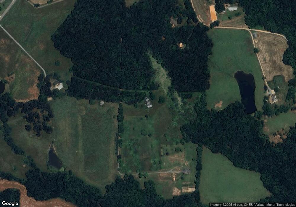
Map
Nearby Homes
- 3504 Oasis Dr
- 3610 Roughedge Dr
- 3607 Roughedge Dr
- 3611 Roughedge Dr
- 3706 Roughedge Dr
- 3710 Roughedge Dr
- Teton Plan at Stonemill
- Townsend Plan at Stonemill
- Daffodil Plan at Stonemill
- Kensington Plan at Stonemill
- 3808 Forty Acre Dr
- 2109 Long Hope Rd
- 1410 Augustus Rd
- 1416 Augustus Rd
- 2601 Plyler Mill Rd
- 2605 Plyler Mill Rd
- 1325 Black Walnut St
- 3313 Lancaster Hwy
- 5903 Griffith Rd
- 4120 Mcmanus Rd
- 3829 Lancaster Hwy
- 4011 Lancaster Hwy
- 3827 Lancaster Hwy
- 4105 Lancaster Hwy
- 5001 Griffith Rd
- 5001 Griffith Rd
- 3859 Lancaster Hwy
- 4119 Lancaster Hwy
- 3923 Lancaster Hwy
- 3917 Lancaster Hwy
- 3917 Lancaster Hwy
- 3913 Lancaster Hwy
- 5102 Griffith Rd
- 5012 Griffith Rd
- 3855 Lancaster Hwy
- 5010 Griffith Rd
- 4016 Lancaster Hwy
- 4006 Lancaster Hwy
- 4020 Lancaster Hwy
- 4106 Lancaster Hwy