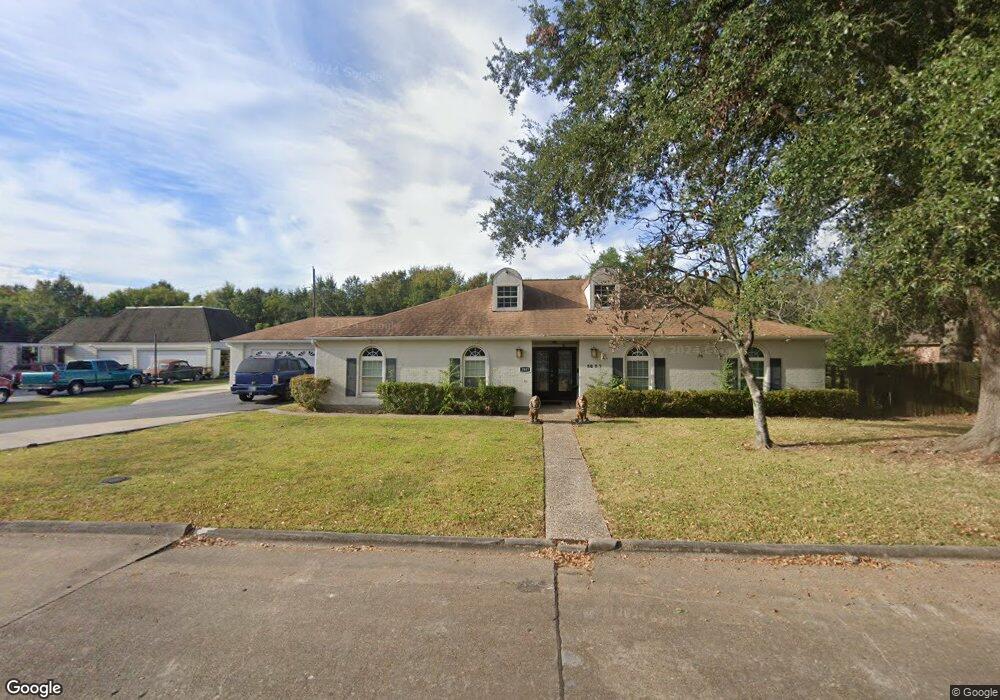
3837 Platt Ave Port Arthur, TX 77640
Estimated Value: $263,000 - $309,000
5
Beds
3
Baths
2,814
Sq Ft
$102/Sq Ft
Est. Value
About This Home
This home is located at 3837 Platt Ave, Port Arthur, TX 77640 and is currently estimated at $287,345, approximately $102 per square foot. 3837 Platt Ave is a home located in Jefferson County with nearby schools including Houston Elementary School, Abraham Lincoln Middle School, and Memorial High School.
Ownership History
Date
Name
Owned For
Owner Type
Purchase Details
Closed on
Aug 27, 2013
Sold by
Estatepro Llc
Bought by
Jones Anthony Craig
Current Estimated Value
Home Financials for this Owner
Home Financials are based on the most recent Mortgage that was taken out on this home.
Original Mortgage
$151,098
Outstanding Balance
$112,843
Interest Rate
4.42%
Mortgage Type
FHA
Estimated Equity
$174,502
Purchase Details
Closed on
Sep 14, 2012
Sold by
Duhon Vincent Noel and Duhon Sharon Denise
Bought by
Estatepro Llc
Purchase Details
Closed on
Jul 17, 2006
Sold by
Duhon Vincent Noel
Bought by
Duhon Sharon Denise
Home Financials for this Owner
Home Financials are based on the most recent Mortgage that was taken out on this home.
Original Mortgage
$88,740
Interest Rate
6.67%
Mortgage Type
Seller Take Back
Create a Home Valuation Report for This Property
The Home Valuation Report is an in-depth analysis detailing your home's value as well as a comparison with similar homes in the area
Home Values in the Area
Average Home Value in this Area
Purchase History
| Date | Buyer | Sale Price | Title Company |
|---|---|---|---|
| Jones Anthony Craig | -- | None Available | |
| Estatepro Llc | $69,623 | None Available | |
| Duhon Sharon Denise | -- | None Available |
Source: Public Records
Mortgage History
| Date | Status | Borrower | Loan Amount |
|---|---|---|---|
| Open | Jones Anthony Craig | $151,098 | |
| Previous Owner | Duhon Sharon Denise | $88,740 |
Source: Public Records
Tax History Compared to Growth
Tax History
| Year | Tax Paid | Tax Assessment Tax Assessment Total Assessment is a certain percentage of the fair market value that is determined by local assessors to be the total taxable value of land and additions on the property. | Land | Improvement |
|---|---|---|---|---|
| 2025 | $4,885 | $267,039 | -- | -- |
| 2024 | $4,885 | $242,763 | -- | -- |
| 2023 | $4,885 | $220,694 | $0 | $0 |
| 2022 | $6,372 | $200,631 | $0 | $0 |
| 2021 | $6,045 | $261,049 | $11,703 | $249,346 |
| 2020 | $4,420 | $165,811 | $11,703 | $154,108 |
| 2019 | $5,284 | $165,800 | $11,700 | $154,100 |
| 2018 | $4,349 | $165,800 | $11,700 | $154,100 |
| 2017 | $4,559 | $177,630 | $11,700 | $165,930 |
| 2016 | $4,810 | $164,200 | $11,700 | $152,500 |
| 2015 | $4,901 | $164,200 | $11,700 | $152,500 |
| 2014 | $4,901 | $164,200 | $11,700 | $152,500 |
Source: Public Records
Map
Nearby Homes
- 3901 Platt Ave
- 3835 Platt Ave
- 3900 Platt Ave
- 3905 Platt Ave
- 2407 Glacier Dr
- 2600 Willowick Dr
- 3825 Platt Ave
- 2604 Willowick Dr
- 2701 Glacier Dr
- 2608 Willowick Dr
- 3911 Platt Ave
- 2705 Glacier Dr
- 2612 Willowick Dr
- 2704 Glacier Dr
- 3801 Platt Ave
- 3915 Platt Ave
- 2707 Glacier Dr
- 3916 Platt Ave
- 2605 Willowick Dr
- 2611 Willowick Dr