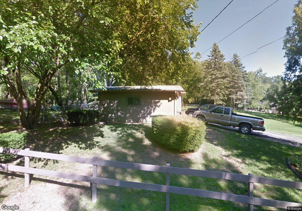
38377 N 11th St Spring Grove, IL 60081
Northeast Fox Lake NeighborhoodEstimated Value: $250,135 - $298,000
2
Beds
1
Bath
1,300
Sq Ft
$209/Sq Ft
Est. Value
About This Home
This home is located at 38377 N 11th St, Spring Grove, IL 60081 and is currently estimated at $272,034, approximately $209 per square foot. 38377 N 11th St is a home located in Lake County with nearby schools including Lotus Elementary School, Stanton Middle School, and Grant Community High School.
Ownership History
Date
Name
Owned For
Owner Type
Purchase Details
Closed on
Nov 10, 2000
Sold by
Pickering Dale W and Pickering Dawn E Johnson
Bought by
Olson Randy L
Current Estimated Value
Home Financials for this Owner
Home Financials are based on the most recent Mortgage that was taken out on this home.
Original Mortgage
$133,475
Outstanding Balance
$49,148
Interest Rate
7.87%
Estimated Equity
$222,886
Create a Home Valuation Report for This Property
The Home Valuation Report is an in-depth analysis detailing your home's value as well as a comparison with similar homes in the area
Home Values in the Area
Average Home Value in this Area
Purchase History
| Date | Buyer | Sale Price | Title Company |
|---|---|---|---|
| Olson Randy L | $140,500 | -- |
Source: Public Records
Mortgage History
| Date | Status | Borrower | Loan Amount |
|---|---|---|---|
| Open | Olson Randy L | $133,475 |
Source: Public Records
Tax History Compared to Growth
Tax History
| Year | Tax Paid | Tax Assessment Tax Assessment Total Assessment is a certain percentage of the fair market value that is determined by local assessors to be the total taxable value of land and additions on the property. | Land | Improvement |
|---|---|---|---|---|
| 2024 | $4,332 | $69,359 | $5,705 | $63,654 |
| 2023 | $4,390 | $62,105 | $5,108 | $56,997 |
| 2022 | $4,390 | $58,972 | $4,451 | $54,521 |
| 2021 | $4,183 | $55,026 | $4,153 | $50,873 |
| 2020 | $4,104 | $53,506 | $4,038 | $49,468 |
| 2019 | $3,767 | $51,168 | $3,862 | $47,306 |
| 2018 | $3,648 | $48,949 | $2,792 | $46,157 |
| 2017 | $3,602 | $46,592 | $2,658 | $43,934 |
| 2016 | $3,834 | $44,964 | $2,565 | $42,399 |
| 2015 | $3,857 | $42,834 | $2,500 | $40,334 |
| 2014 | $3,716 | $42,843 | $3,730 | $39,113 |
| 2012 | $3,728 | $44,902 | $3,730 | $41,172 |
Source: Public Records
Map
Nearby Homes
- 38480 N 6th Ave
- 38433 N 5th Ave
- 978 Eastshore Dr
- 38366 N 4th Ave
- 38623 N Konen Ave
- 28624 W Kendall Ave
- 27849 W Lake Shore Dr
- 38236 N Lee Ave
- 38227 N 3rd Ave
- 6712 Perkins Pkwy
- 37925 N Lake Vista Terrace
- 37822 N Watts Ave
- 27771 W Lake Shore Dr
- 57 Vail Colony Unit 7
- 38265 N State Park Rd
- 8002 Honeysuckle Ct Unit T5A
- 7101 Saint Tropez Ct Unit 295
- 38073 N Nippersink Dr
- 40 Bermuda Colony Unit 7
- 58 Vail Colony Unit 11
- 38404 N 10th Ave
- 28277 W Stewart Ave
- 28289 W Stewart Ave
- 28301 W Stewart Ave
- 38420 N 10th Ave
- 38374 N 9th St
- 38370 N 11th St
- 38376 N 11th St
- 28265 W Stewart Ave
- 28257 W Stewart Ave
- 38350 N 9th St
- 38396 N 11th St
- 38410 N 9th St
- 38410 N 11th St
- 38432 N 10th Ave
- 28323 W Stewart Ave
- 38414 N 11th St
- 38420 N 11th St
- 38435 N 11th St
- 28239 W Stewart Ave