3838 Colonel Vanderhorst Cir Mount Pleasant, SC 29466
Dunes West NeighborhoodEstimated Value: $1,335,500 - $1,648,000
6
Beds
4
Baths
3,970
Sq Ft
$377/Sq Ft
Est. Value
About This Home
This home is located at 3838 Colonel Vanderhorst Cir, Mount Pleasant, SC 29466 and is currently estimated at $1,496,625, approximately $376 per square foot. 3838 Colonel Vanderhorst Cir is a home located in Charleston County with nearby schools including Charles Pinckney Elementary School, Laurel Hill Primary School, and Thomas C. Cario Middle School.
Ownership History
Date
Name
Owned For
Owner Type
Purchase Details
Closed on
Sep 28, 2009
Sold by
Weichert Relocation Resources Inc
Bought by
Keohane Keith and Keohane Donna
Current Estimated Value
Purchase Details
Closed on
Feb 27, 2009
Sold by
Olbrich Michael E and Olbrich Rebecca L
Bought by
Weichert Relocation Resources Inc
Purchase Details
Closed on
May 3, 2004
Sold by
Jordan M Reginald and Jordan Elizabeth C
Bought by
Olbrich Michael E and Olbrich Rebecca L
Purchase Details
Closed on
Apr 4, 2003
Sold by
Meehan William C and Meehan Linda H
Bought by
Jordan M Reginald and Jordan Elizabeth C
Purchase Details
Closed on
May 11, 2000
Sold by
John Wieland Homes & Neighborhoods Of Sc
Bought by
Meehan William C and Meehan Linda H
Create a Home Valuation Report for This Property
The Home Valuation Report is an in-depth analysis detailing your home's value as well as a comparison with similar homes in the area
Home Values in the Area
Average Home Value in this Area
Purchase History
| Date | Buyer | Sale Price | Title Company |
|---|---|---|---|
| Keohane Keith | $620,000 | -- | |
| Weichert Relocation Resources Inc | $645,000 | -- | |
| Olbrich Michael E | $615,000 | -- | |
| Jordan M Reginald | $560,000 | -- | |
| Meehan William C | $440,031 | -- |
Source: Public Records
Tax History Compared to Growth
Tax History
| Year | Tax Paid | Tax Assessment Tax Assessment Total Assessment is a certain percentage of the fair market value that is determined by local assessors to be the total taxable value of land and additions on the property. | Land | Improvement |
|---|---|---|---|---|
| 2024 | $3,193 | $30,540 | $0 | $0 |
| 2023 | $2,995 | $30,540 | $0 | $0 |
| 2022 | $2,769 | $30,540 | $0 | $0 |
| 2021 | $3,051 | $30,540 | $0 | $0 |
| 2020 | $3,126 | $30,540 | $0 | $0 |
| 2019 | $2,883 | $28,290 | $0 | $0 |
| 2017 | $2,841 | $28,290 | $0 | $0 |
| 2016 | $2,699 | $28,290 | $0 | $0 |
| 2015 | $2,827 | $28,290 | $0 | $0 |
| 2014 | $2,377 | $0 | $0 | $0 |
| 2011 | -- | $0 | $0 | $0 |
Source: Public Records
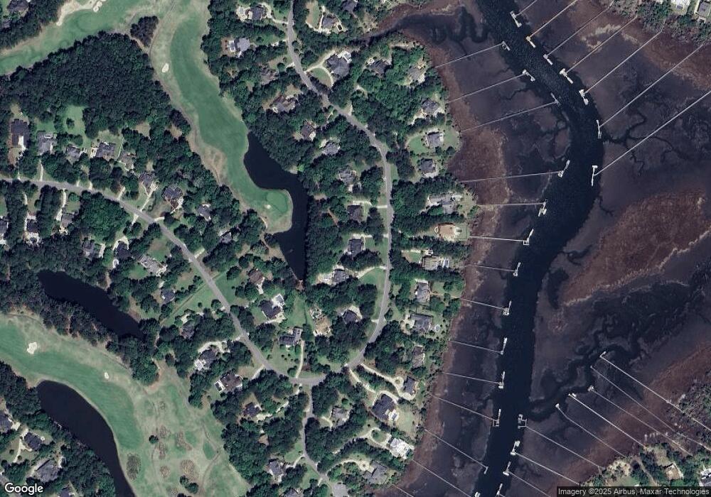
Map
Nearby Homes
- 3765 Colonel Vanderhorst Cir
- 3708 Colonel Vanderhorst Cir
- 2508 Willington Ct
- 1849 Shell Ring Cir
- 1912 Hall Point Rd
- 4051 Colonel Vanderhorst Cir
- 3052 Ashburton Way
- 1777 Wellstead St
- 4145 Colonel Vanderhorst Cir
- 2406 Wagner Creek Ct
- 2217 Beckenham Dr
- 1563 Capel St
- 2296 Beckenham Dr
- 2942 River Vista Way
- 2254 Beckenham Dr
- 2196 Beckenham Dr
- 2064 Promenade Ct
- 3232 Pignatelli Crescent
- 2991 River Vista Way
- 3261 Beaconsfield Rd
- 3844 Colonel Vanderhorst Cir
- 3834 Colonel Vanderhorst Cir
- 3852 Colonel Vanderhorst Cir
- 3824 Colonel Vanderhorst Cir
- 3837 Colonel Vanderhorst Cir
- 3841 Colonel Vanderhorst Cir
- 3833 Colonel Vanderhorst Cir
- 3845 Colonel Vanderhorst Cir
- 3814 Colonel Vanderhorst Cir
- 3862 Colonel Vanderhorst Cir
- 3849 Colonel Vanderhorst Cir
- 3829 Colonel Vanderhorst Cir
- 3766 Colonel Vanderhorst Cir
- 3776 Colonel Vanderhorst Cir
- 3868 Colonel Vanderhorst Cir
- 3825 Colonel Vanderhorst Cir
- 3746 Colonel Vanderhorst Cir
- 3853 Colonel Vanderhorst Cir
- 3821 Colonel Vanderhorst Cir
- 3736 Colonel Vanderhorst Cir