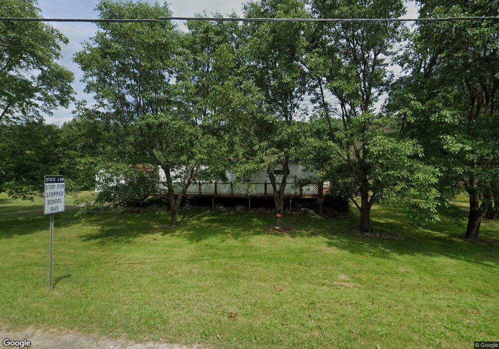
3838 State Route 26 Whitney Point, NY 13862
Estimated Value: $116,172 - $239,000
4
Beds
3
Baths
1,056
Sq Ft
$142/Sq Ft
Est. Value
About This Home
This home is located at 3838 State Route 26, Whitney Point, NY 13862 and is currently estimated at $149,543, approximately $141 per square foot. 3838 State Route 26 is a home located in Broome County with nearby schools including Caryl E. Adams Primary School, Tioughnioga Riverside Academy, and Whitney Point Senior High School.
Ownership History
Date
Name
Owned For
Owner Type
Purchase Details
Closed on
Jul 2, 2019
Sold by
Broome County
Bought by
Jeffrey Stolt Estate
Current Estimated Value
Purchase Details
Closed on
May 23, 2014
Sold by
Hover Dee and Hover Dee Merle
Bought by
Stolt Jeffrey
Purchase Details
Closed on
Oct 11, 2001
Sold by
Hover Mary A
Bought by
Hover Merle D
Purchase Details
Closed on
Aug 30, 1996
Sold by
Corby Phillip A
Bought by
Hover Merle D and Hover Mary A
Create a Home Valuation Report for This Property
The Home Valuation Report is an in-depth analysis detailing your home's value as well as a comparison with similar homes in the area
Home Values in the Area
Average Home Value in this Area
Purchase History
| Date | Buyer | Sale Price | Title Company |
|---|---|---|---|
| Jeffrey Stolt Estate | -- | None Available | |
| Stolt Jeffrey | $29,000 | None Available | |
| Hover Merle D | -- | Fauci & Fauci | |
| Hover Merle D | $93,000 | -- |
Source: Public Records
Tax History Compared to Growth
Tax History
| Year | Tax Paid | Tax Assessment Tax Assessment Total Assessment is a certain percentage of the fair market value that is determined by local assessors to be the total taxable value of land and additions on the property. | Land | Improvement |
|---|---|---|---|---|
| 2024 | $1,434 | $24,000 | $17,500 | $6,500 |
| 2023 | $1,444 | $24,000 | $17,500 | $6,500 |
| 2022 | $1,360 | $24,000 | $17,500 | $6,500 |
| 2021 | $1,336 | $24,000 | $17,500 | $6,500 |
| 2020 | $1,330 | $24,000 | $17,500 | $6,500 |
| 2019 | -- | $24,000 | $17,500 | $6,500 |
| 2018 | $2,207 | $24,000 | $17,500 | $6,500 |
| 2017 | $2,169 | $24,000 | $17,500 | $6,500 |
| 2016 | $2,150 | $24,000 | $17,500 | $6,500 |
| 2015 | -- | $24,000 | $17,500 | $6,500 |
| 2014 | -- | $24,000 | $17,500 | $6,500 |
Source: Public Records
Map
Nearby Homes
- 4 Ostrander St
- 52 Swan Hill Rd
- 21 Anderson Rd
- 1537 Dunham Hill Rd
- 245 Pendell Hill Rd
- 254 Hardy Rd
- 6 Dedrick Hill Rd
- 452 Perry Rd
- 470 Pendell Hill Rd
- 608 Pendell Hill Rd
- 584 Ashley Rd
- 2938 State Route 26
- 1153 S Ketchumville Rd
- 1321 Hyde St
- 219 Swift Rd
- 59 Park St
- 312 Fox Rd
- 7278 Collins St
- 14 Kolb Rd
- 2614 Main St
- 3838 Rte 26
- 3833 State Route 26
- 3852 State Route 26
- 3847 New York 26
- 3826 State Route 26
- 3858 State Route 26
- 3864 State Route 26
- 3863 State Route 26
- 3846 State Route 26
- 46 Shady Rd
- 34 Shady Dr
- 3872 Nys 26
- 3872 State Route 26
- 34 Shady Rd
- 3880 State Route 26
- 3884 State Route 26
- 30 Kenyon Rd
- 20 Shady Rd
- 3890 State Route 26
- 14 Shady Dr