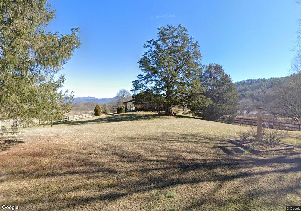
3838 Wolffork Rd Rabun Gap, GA 30568
Estimated Value: $266,051 - $592,000
1
Bed
1
Bath
585
Sq Ft
$652/Sq Ft
Est. Value
About This Home
This home is located at 3838 Wolffork Rd, Rabun Gap, GA 30568 and is currently estimated at $381,350, approximately $651 per square foot. 3838 Wolffork Rd is a home with nearby schools including Rabun County Primary School and Rabun County High School.
Ownership History
Date
Name
Owned For
Owner Type
Purchase Details
Closed on
May 13, 2010
Sold by
Keener William R
Bought by
Smith Douglas E
Current Estimated Value
Purchase Details
Closed on
Nov 1, 1994
Bought by
Smith Douglas E
Purchase Details
Closed on
Aug 1, 1991
Bought by
Keener William Rockaway
Purchase Details
Closed on
Apr 1, 1984
Purchase Details
Closed on
Mar 1, 1983
Create a Home Valuation Report for This Property
The Home Valuation Report is an in-depth analysis detailing your home's value as well as a comparison with similar homes in the area
Home Values in the Area
Average Home Value in this Area
Purchase History
| Date | Buyer | Sale Price | Title Company |
|---|---|---|---|
| Smith Douglas E | -- | -- | |
| Smith Douglas E | -- | -- | |
| Smith Douglas E | $1,000 | -- | |
| Smith Douglas E | $1,000 | -- | |
| Keener William Rockaway | $1,000 | -- | |
| Keener William Rockaway | $1,000 | -- | |
| -- | $1,000 | -- | |
| -- | $1,000 | -- | |
| -- | $1,000 | -- |
Source: Public Records
Tax History Compared to Growth
Tax History
| Year | Tax Paid | Tax Assessment Tax Assessment Total Assessment is a certain percentage of the fair market value that is determined by local assessors to be the total taxable value of land and additions on the property. | Land | Improvement |
|---|---|---|---|---|
| 2025 | $311 | $70,546 | $56,160 | $14,386 |
| 2024 | $294 | $69,613 | $56,160 | $13,453 |
| 2023 | $302 | $64,641 | $52,857 | $11,784 |
| 2022 | $292 | $60,901 | $49,553 | $11,348 |
| 2021 | $267 | $56,030 | $46,250 | $9,780 |
| 2020 | $249 | $54,790 | $46,250 | $8,540 |
| 2019 | $221 | $53,257 | $46,250 | $7,007 |
| 2018 | $218 | $53,257 | $46,250 | $7,007 |
| 2017 | $206 | $53,257 | $46,250 | $7,007 |
| 2016 | $205 | $53,257 | $46,250 | $7,007 |
| 2015 | $192 | $52,474 | $46,250 | $6,224 |
| 2014 | $191 | $52,474 | $46,250 | $6,224 |
Source: Public Records
Map
Nearby Homes
- 230 Majors Ln
- 5019 Wolffork Rd
- 0 Allen Cove Rd Unit 10586573
- 373 Western Way
- 784 Wolffork Church Rd
- 0 Pitts Way Unit 10592369
- 0 Bob Hoover Trail Unit LOT 78
- 5192 Wolffork Rd
- 0 Sylvan Lake Dr Unit 47,48 10485897
- 0 Crest Ln Unit LOT 5 10572844
- 189 Elm Ln
- 460 Anderson Dr
- LOT 40 Anderson Dr
- 46 Clare Ln
- 0 Alto Ln Unit 10533235
- 0 Yellow Trillium Unit LOT 13 10580243
- 786 Hope Haven Ln
- 2594 Blue Ridge Gap Rd
- 1422 Wolffork Rd
- 201 Lasso Ln
- 3831 Wolffork Rd
- 3784 Wolffork Rd
- 2 N Billy Branch Rd
- 36 Double Branch Rd
- 57 N Billy Branch Rd
- 70 N Billy Branch Rd
- 3572 Wolffork Rd
- 4032 Wolffork 0
- 4130 Wolffork Rd
- 3727 Wolffork Rd
- 4152 Wolffork Rd
- 4031 Wolffork Rd
- 45 Ward Ln
- 4067 Wolffork Rd
- 4151 Wolffork Rd
- 4206 Wolffork Rd
- 2882 Wolffork Rd
- 3377 Wolffork Rd
- 49 Ward Ln
- 80 Ward Ln