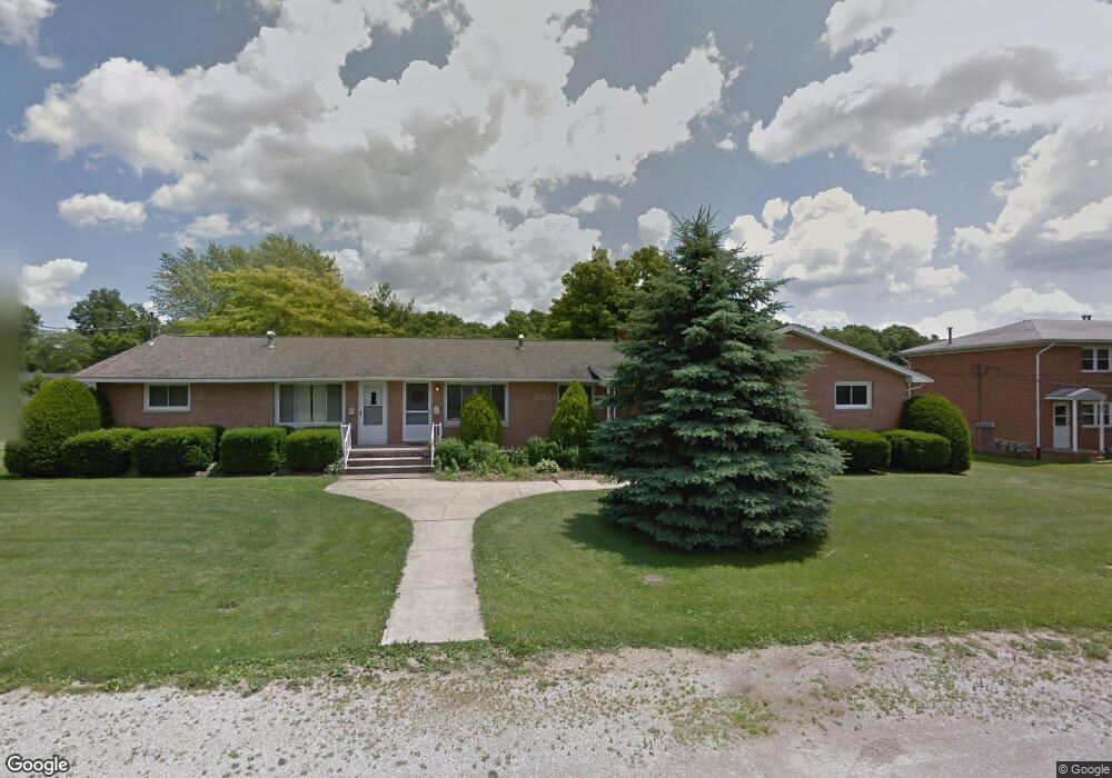
384 Apple Ln Mansfield, OH 44905
Estimated Value: $265,000 - $391,461
6
Beds
3
Baths
2,880
Sq Ft
$117/Sq Ft
Est. Value
About This Home
This home is located at 384 Apple Ln, Mansfield, OH 44905 and is currently estimated at $335,615, approximately $116 per square foot. 384 Apple Ln is a home located in Richland County with nearby schools including Madison High School, Temple-Christian School, and St. Mary Catholic School.
Ownership History
Date
Name
Owned For
Owner Type
Purchase Details
Closed on
Jun 23, 2023
Sold by
Stumbaugh Delores I
Bought by
Cairns Stuart and Cairns Duncan E
Current Estimated Value
Home Financials for this Owner
Home Financials are based on the most recent Mortgage that was taken out on this home.
Original Mortgage
$243,750
Outstanding Balance
$237,694
Interest Rate
6.79%
Mortgage Type
New Conventional
Estimated Equity
$97,921
Purchase Details
Closed on
Dec 8, 1992
Sold by
Harp Patrick R
Bought by
Holstein Robert E
Purchase Details
Closed on
Oct 1, 1985
Create a Home Valuation Report for This Property
The Home Valuation Report is an in-depth analysis detailing your home's value as well as a comparison with similar homes in the area
Home Values in the Area
Average Home Value in this Area
Purchase History
| Date | Buyer | Sale Price | Title Company |
|---|---|---|---|
| Cairns Stuart | $325,000 | First Protection Title | |
| Holstein Robert E | $96,000 | -- | |
| -- | $95,000 | -- |
Source: Public Records
Mortgage History
| Date | Status | Borrower | Loan Amount |
|---|---|---|---|
| Open | Cairns Stuart | $243,750 |
Source: Public Records
Tax History Compared to Growth
Tax History
| Year | Tax Paid | Tax Assessment Tax Assessment Total Assessment is a certain percentage of the fair market value that is determined by local assessors to be the total taxable value of land and additions on the property. | Land | Improvement |
|---|---|---|---|---|
| 2024 | $3,735 | $75,360 | $5,370 | $69,990 |
| 2023 | $3,735 | $75,360 | $5,370 | $69,990 |
| 2022 | $3,289 | $58,790 | $4,800 | $53,990 |
| 2021 | $3,289 | $58,790 | $4,800 | $53,990 |
| 2020 | $3,314 | $58,790 | $4,800 | $53,990 |
| 2019 | $3,159 | $49,820 | $4,070 | $45,750 |
| 2018 | $2,958 | $49,820 | $4,070 | $45,750 |
| 2017 | $2,898 | $49,820 | $4,070 | $45,750 |
| 2016 | $2,857 | $47,480 | $3,870 | $43,610 |
| 2015 | $2,857 | $47,480 | $3,870 | $43,610 |
| 2014 | $2,717 | $47,480 | $3,870 | $43,610 |
| 2012 | $2,209 | $47,470 | $4,070 | $43,400 |
Source: Public Records
Map
Nearby Homes
- 1628 Park Ave E
- 419 N Mcelroy Rd
- 155 Ford Rd N
- 155 Ford Rd N Unit Lot 30
- 1303 Park Ave E
- 632 Coachman Rd
- 602 Champion Rd
- 641 Laver Rd
- 671 Coachman Rd
- 1226 Evergreen Ave W
- 1282 Redman Ave
- 683 Coachman Rd
- 644 Skyline Rd
- 0 Mcelroy Rd
- 536 Gordon Rd
- 76 Ford Rd N
- 76 Ford Rd N Unit 20
- 1199 Evergreen Ave W
- 1183 Evergreen Ave W
- 291 Stewart Rd N