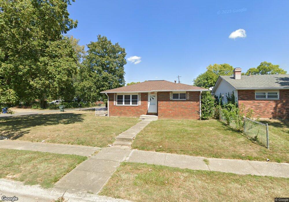
384 Colton Rd Columbus, OH 43207
Obetz-Lockbourne NeighborhoodEstimated Value: $201,210 - $230,000
3
Beds
2
Baths
1,102
Sq Ft
$199/Sq Ft
Est. Value
About This Home
This home is located at 384 Colton Rd, Columbus, OH 43207 and is currently estimated at $219,053, approximately $198 per square foot. 384 Colton Rd is a home located in Franklin County with nearby schools including Parsons Elementary School, Buckeye Middle School, and Marion-Franklin High School.
Ownership History
Date
Name
Owned For
Owner Type
Purchase Details
Closed on
Mar 7, 2011
Sold by
Blankenship Arnold D
Bought by
Blankenship Charles Kevin
Current Estimated Value
Purchase Details
Closed on
Feb 27, 2001
Sold by
Blankenship Arnold D
Bought by
Blankenship Charles Kevin
Home Financials for this Owner
Home Financials are based on the most recent Mortgage that was taken out on this home.
Original Mortgage
$100,000
Outstanding Balance
$35,932
Interest Rate
7.18%
Mortgage Type
Seller Take Back
Estimated Equity
$183,121
Purchase Details
Closed on
Feb 16, 1977
Bought by
Blankenship Arnold D
Create a Home Valuation Report for This Property
The Home Valuation Report is an in-depth analysis detailing your home's value as well as a comparison with similar homes in the area
Home Values in the Area
Average Home Value in this Area
Purchase History
| Date | Buyer | Sale Price | Title Company |
|---|---|---|---|
| Blankenship Charles Kevin | $100,000 | Attorney | |
| Blankenship Charles Kevin | $100,000 | -- | |
| Blankenship Arnold D | -- | -- |
Source: Public Records
Mortgage History
| Date | Status | Borrower | Loan Amount |
|---|---|---|---|
| Open | Blankenship Charles Kevin | $100,000 |
Source: Public Records
Tax History Compared to Growth
Tax History
| Year | Tax Paid | Tax Assessment Tax Assessment Total Assessment is a certain percentage of the fair market value that is determined by local assessors to be the total taxable value of land and additions on the property. | Land | Improvement |
|---|---|---|---|---|
| 2024 | $3,170 | $70,630 | $16,030 | $54,600 |
| 2023 | $3,129 | $70,630 | $16,030 | $54,600 |
| 2022 | $1,695 | $32,690 | $10,150 | $22,540 |
| 2021 | $1,698 | $32,690 | $10,150 | $22,540 |
| 2020 | $1,701 | $32,690 | $10,150 | $22,540 |
| 2019 | $1,718 | $28,320 | $8,820 | $19,500 |
| 2018 | $857 | $28,320 | $8,820 | $19,500 |
| 2017 | $1,717 | $28,320 | $8,820 | $19,500 |
| 2016 | $1,897 | $28,640 | $5,780 | $22,860 |
| 2015 | $861 | $28,640 | $5,780 | $22,860 |
| 2014 | $1,726 | $28,640 | $5,780 | $22,860 |
| 2013 | $896 | $30,135 | $6,090 | $24,045 |
Source: Public Records
Map
Nearby Homes
- 3414 Parsons Ave
- 3380 Parsons Ave
- 445 Basswood Rd
- 256 Rumsey Rd Unit 258
- 1633-1635 E Greenway Ave
- 525 Ashwood Rd
- 503 Ashwood Rd
- 3161 Lewis Rd
- 696 Williams Rd
- 3691 Ferman Rd
- 245 Marilla Rd
- 3735 Christie Rd W
- 125 Williams Rd
- 3714 Parsons Ave
- 3747 Ferman Rd
- 662 Bartfield Dr
- 0 Williams Rd
- 780 Basswood Rd
- 228 Currier Dr
- 3573 S Champion Ave