384 Francine Dr Tekonsha, MI 49092
Estimated Value: $407,000 - $571,000
--
Bed
--
Bath
--
Sq Ft
2.89
Acres
About This Home
This home is located at 384 Francine Dr, Tekonsha, MI 49092 and is currently estimated at $453,204. 384 Francine Dr is a home located in Branch County with nearby schools including Tekonsha High School.
Ownership History
Date
Name
Owned For
Owner Type
Purchase Details
Closed on
Jul 19, 2024
Sold by
George Linda C and George Thomas L
Bought by
White Jeffery and White Lynn
Current Estimated Value
Home Financials for this Owner
Home Financials are based on the most recent Mortgage that was taken out on this home.
Original Mortgage
$240,000
Outstanding Balance
$237,976
Interest Rate
6.99%
Mortgage Type
New Conventional
Estimated Equity
$168,906
Purchase Details
Closed on
May 27, 2005
Sold by
Wallace Sharon A and Franz Robert J
Bought by
George Thomas L and George Linda C
Home Financials for this Owner
Home Financials are based on the most recent Mortgage that was taken out on this home.
Original Mortgage
$147,920
Interest Rate
5.86%
Mortgage Type
Fannie Mae Freddie Mac
Create a Home Valuation Report for This Property
The Home Valuation Report is an in-depth analysis detailing your home's value as well as a comparison with similar homes in the area
Home Values in the Area
Average Home Value in this Area
Purchase History
| Date | Buyer | Sale Price | Title Company |
|---|---|---|---|
| White Jeffery | $400,000 | None Listed On Document | |
| George Thomas L | $184,900 | Chicago Title |
Source: Public Records
Mortgage History
| Date | Status | Borrower | Loan Amount |
|---|---|---|---|
| Open | White Jeffery | $240,000 | |
| Previous Owner | George Thomas L | $157,850 | |
| Previous Owner | George Thomas L | $169,100 | |
| Previous Owner | George Thomas L | $32,800 | |
| Previous Owner | George Thomas L | $7,500 | |
| Previous Owner | George Thomas L | $147,920 |
Source: Public Records
Tax History Compared to Growth
Tax History
| Year | Tax Paid | Tax Assessment Tax Assessment Total Assessment is a certain percentage of the fair market value that is determined by local assessors to be the total taxable value of land and additions on the property. | Land | Improvement |
|---|---|---|---|---|
| 2025 | $4,262 | $222,800 | $0 | $0 |
| 2024 | $1,469 | $182,050 | $0 | $0 |
| 2023 | $1,469 | $169,050 | $0 | $0 |
| 2022 | $1,469 | $154,550 | $0 | $0 |
| 2021 | -- | $142,600 | $0 | $0 |
| 2020 | -- | $142,100 | $0 | $0 |
| 2019 | -- | $145,750 | $0 | $0 |
| 2018 | -- | $105,750 | $0 | $0 |
| 2017 | -- | $105,750 | $0 | $0 |
| 2016 | -- | $99,150 | $0 | $0 |
| 2015 | -- | $74,100 | $0 | $0 |
| 2014 | -- | $66,850 | $0 | $0 |
| 2013 | -- | $65,628 | $0 | $0 |
Source: Public Records
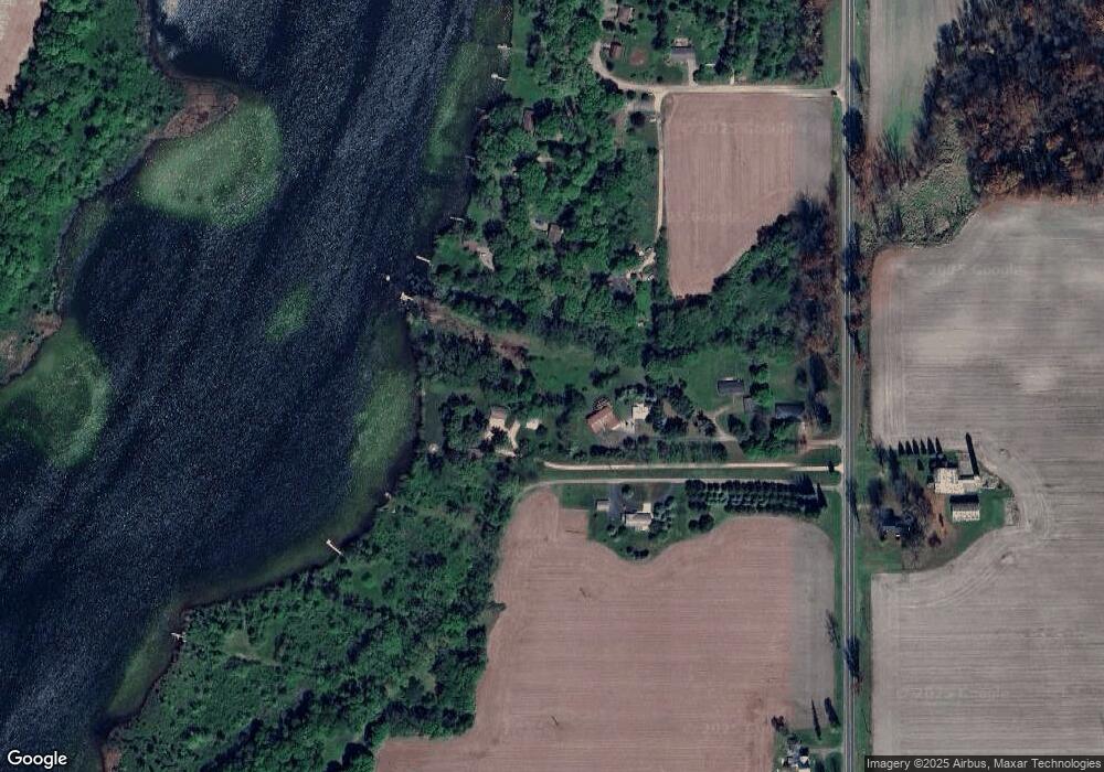
Map
Nearby Homes
- 395 Hyannis Hills Dr
- 1173 Marshall Rd
- 1120 N Marshall Rd
- 116 N West St
- 207 N Main St
- 328 N Main St
- 715 N Washington St
- 803 N Church St
- 15277 Michigan 60
- 598 Dayburg Rd
- 787 Doves Landing
- 325 E Leroy St
- 4600 11 Mile Rd
- 9999 N-Drive S
- 970 Dean Rd
- 128 N Marshall St
- 734 N Hawley Dr
- 274 Hawley Center Dr
- 9529 S County Line Rd
- 218 Adolph Shores Rd
- 384 Francine Dr
- 384 Francine Dr
- 1226 Marshall Rd
- 1232 Greenwood Dr
- 1221 Vincent Lake Rd
- 398 Francine Dr
- 384 Kowalski Dr
- 394 Francine Dr
- 1220 Vincent Lake Ln
- 1222 Vincent Lake Ln
- 1224 Vincent Lake Ln
- 0 Vacant Land Marshall Rd Rd
- 1230 Vincent Lake Ln
- 380 Kowalski Dr
- 1234 Vincent Lake Ln
- 1232 Vincent Lake Ln
- 393 Kowalski Dr
- 1221 Marshall Rd
- 0 Lincoln Dr
- 0000 Lincoln Dr