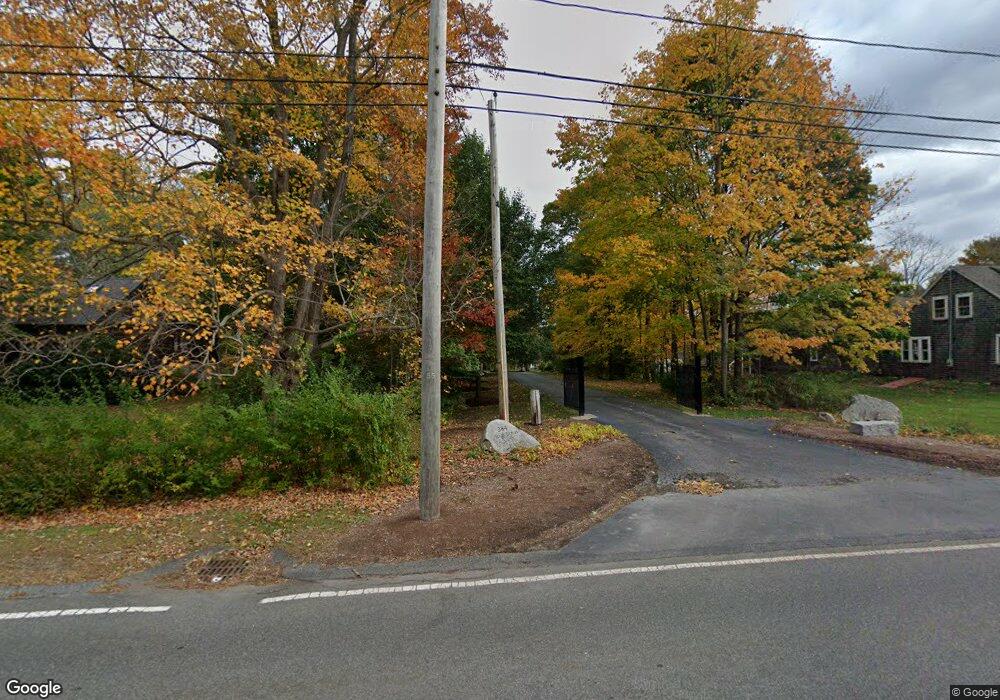
384 High St Hanson, MA 02341
Estimated Value: $996,000 - $1,383,130
4
Beds
3
Baths
4,400
Sq Ft
$279/Sq Ft
Est. Value
About This Home
This home is located at 384 High St, Hanson, MA 02341 and is currently estimated at $1,226,033, approximately $278 per square foot. 384 High St is a home located in Plymouth County.
Ownership History
Date
Name
Owned For
Owner Type
Purchase Details
Closed on
Feb 2, 2001
Sold by
Reilly Linda A and Doughty Lois
Bought by
Alexander Charles D
Current Estimated Value
Purchase Details
Closed on
Mar 1, 1991
Sold by
Elko Constr Corp
Bought by
Kirby Terence M and Turkel Laura R
Create a Home Valuation Report for This Property
The Home Valuation Report is an in-depth analysis detailing your home's value as well as a comparison with similar homes in the area
Home Values in the Area
Average Home Value in this Area
Purchase History
| Date | Buyer | Sale Price | Title Company |
|---|---|---|---|
| Alexander Charles D | $156,000 | -- | |
| Kirby Terence M | $125,400 | -- |
Source: Public Records
Mortgage History
| Date | Status | Borrower | Loan Amount |
|---|---|---|---|
| Open | Kirby Terence M | $450,000 | |
| Closed | Kirby Terence M | $50,000 | |
| Closed | Kirby Terence M | $475,000 |
Source: Public Records
Tax History Compared to Growth
Tax History
| Year | Tax Paid | Tax Assessment Tax Assessment Total Assessment is a certain percentage of the fair market value that is determined by local assessors to be the total taxable value of land and additions on the property. | Land | Improvement |
|---|---|---|---|---|
| 2025 | $17,332 | $1,295,400 | $249,700 | $1,045,700 |
| 2024 | $16,994 | $1,270,100 | $242,400 | $1,027,700 |
| 2023 | $16,238 | $1,145,100 | $242,400 | $902,700 |
| 2022 | $15,854 | $1,050,600 | $220,200 | $830,400 |
| 2021 | $14,691 | $972,900 | $212,000 | $760,900 |
| 2020 | $14,497 | $949,400 | $204,800 | $744,600 |
| 2019 | $14,264 | $918,500 | $201,200 | $717,300 |
| 2018 | $13,938 | $880,500 | $193,500 | $687,000 |
| 2017 | $13,414 | $839,400 | $184,100 | $655,300 |
| 2016 | $13,301 | $803,700 | $184,100 | $619,600 |
| 2015 | $12,529 | $787,000 | $184,100 | $602,900 |
Source: Public Records
Map
Nearby Homes
- 80 Phillips St
- 72 Phillips St
- 1054 Main St
- 1139 Main St Unit 4
- Lot 6 Way
- 84 Liberty St
- 134 Crescent St
- 26 Stonebridge Dr
- Lot 5 Princeton Way
- 26 Franklin St
- 353 Cross St
- 126-130 Franklin St
- 1754 Central St
- 170 Elm St
- 269 Lakeside Rd
- 168 Spring St
- 318 South St
- 842 Whitman St
- 23 Live Oak Way
- 430 Brook Bend Rd
