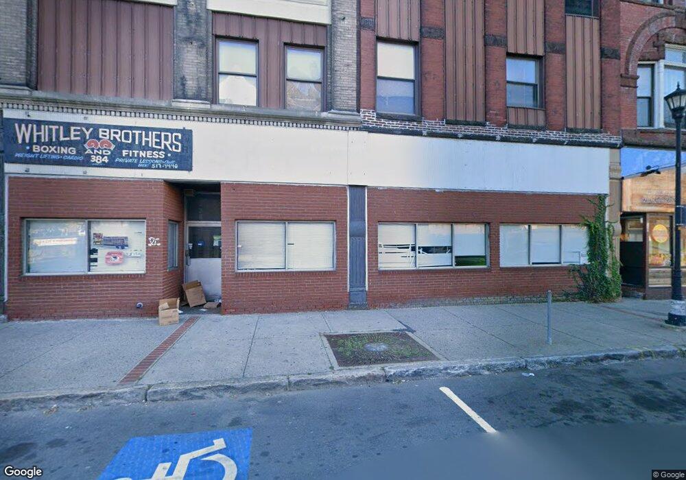
384 High St Holyoke, MA 01040
Estimated Value: $513,294
Studio
2
Baths
19,888
Sq Ft
$26/Sq Ft
Est. Value
About This Home
This home is located at 384 High St, Holyoke, MA 01040 and is currently priced at $513,294, approximately $25 per square foot. 384 High St is a home located in Hampden County with nearby schools including H.B. Lawrence Elementary School and Holyoke High School.
Ownership History
Date
Name
Owned For
Owner Type
Purchase Details
Closed on
Jan 16, 2024
Sold by
Msns Limited Co Llc
Bought by
Wf Re Holdings Llc
Current Estimated Value
Home Financials for this Owner
Home Financials are based on the most recent Mortgage that was taken out on this home.
Original Mortgage
$500,000
Outstanding Balance
$491,382
Interest Rate
7.03%
Mortgage Type
Purchase Money Mortgage
Purchase Details
Closed on
May 2, 2007
Sold by
Kirejczyk Eugene P and Kirejczyk Cynthia F
Bought by
Msns Limited Co Llc
Home Financials for this Owner
Home Financials are based on the most recent Mortgage that was taken out on this home.
Original Mortgage
$175,000
Interest Rate
6.23%
Mortgage Type
Commercial
Purchase Details
Closed on
Feb 3, 1997
Sold by
Galaska Mary S Est and Galaska
Bought by
Kirejczyk Eugene P and Kirejczyk Cynthia F
Create a Home Valuation Report for This Property
The Home Valuation Report is an in-depth analysis detailing your home's value as well as a comparison with similar homes in the area
Home Values in the Area
Average Home Value in this Area
Purchase History
| Date | Buyer | Sale Price | Title Company |
|---|---|---|---|
| Wf Re Holdings Llc | $385,000 | None Available | |
| Msns Limited Co Llc | $325,000 | -- | |
| Kirejczyk Eugene P | $79,900 | -- |
Source: Public Records
Mortgage History
| Date | Status | Borrower | Loan Amount |
|---|---|---|---|
| Open | Wf Re Holdings Llc | $500,000 | |
| Previous Owner | Msns Limited Co Llc | $175,000 |
Source: Public Records
Tax History
| Year | Tax Paid | Tax Assessment Tax Assessment Total Assessment is a certain percentage of the fair market value that is determined by local assessors to be the total taxable value of land and additions on the property. | Land | Improvement |
|---|---|---|---|---|
| 2025 | $14,202 | $368,400 | $24,300 | $344,100 |
| 2024 | $13,390 | $332,600 | $21,900 | $310,700 |
| 2023 | $13,361 | $332,600 | $21,900 | $310,700 |
| 2022 | $13,037 | $321,100 | $21,900 | $299,200 |
| 2021 | $12,388 | $304,900 | $21,900 | $283,000 |
| 2020 | $12,114 | $304,900 | $21,900 | $283,000 |
| 2019 | $12,074 | $302,900 | $19,900 | $283,000 |
| 2018 | $9,041 | $227,800 | $19,900 | $207,900 |
| 2017 | $9,048 | $227,800 | $19,900 | $207,900 |
| 2016 | $9,427 | $236,500 | $21,900 | $214,600 |
| 2015 | $9,443 | $236,500 | $21,900 | $214,600 |
Source: Public Records
Map
Nearby Homes
- 390 High St Unit 392
- 400 High St
- 408 High St
- 366-372 High St Unit 17
- 366 High St Unit 17
- 366 High St Unit 372
- 366-372 High St
- 358 High St Unit 364
- 414 High St
- 365 High St
- 418-420 High St
- 420 High St
- 354 High St
- 255 Appleton St
- 17 Nick Cosmos Way
- 434 High St
- 251 Appleton St
- 344 High St
- 341 - 347 High St
- 341 High St
Your Personal Tour Guide
Ask me questions while you tour the home.