384 Kenosha Cir Divide, CO 80814
2
Beds
1
Bath
1,018
Sq Ft
31,363
Sq Ft Lot
About This Home
This home is located at 384 Kenosha Cir, Divide, CO 80814. 384 Kenosha Cir is a home located in Teller County with nearby schools including Woodland Park Junior/Senior High School and Merit Academy.
Ownership History
Date
Name
Owned For
Owner Type
Purchase Details
Closed on
Mar 1, 2005
Sold by
Vivian Michael C
Bought by
Maxwell Joan K
Home Financials for this Owner
Home Financials are based on the most recent Mortgage that was taken out on this home.
Original Mortgage
$135,769
Outstanding Balance
$69,287
Interest Rate
5.71%
Mortgage Type
FHA
Purchase Details
Closed on
Feb 1, 2001
Sold by
Pottorff Wilma D and Pottorff Jackie D
Bought by
Duncan Daniel W
Create a Home Valuation Report for This Property
The Home Valuation Report is an in-depth analysis detailing your home's value as well as a comparison with similar homes in the area
Home Values in the Area
Average Home Value in this Area
Purchase History
| Date | Buyer | Sale Price | Title Company |
|---|---|---|---|
| Maxwell Joan K | $137,900 | -- | |
| Duncan Daniel W | -- | -- |
Source: Public Records
Mortgage History
| Date | Status | Borrower | Loan Amount |
|---|---|---|---|
| Open | Maxwell Joan K | $135,769 | |
| Closed | Maxwell Joan K | $4,073 |
Source: Public Records
Tax History
| Year | Tax Paid | Tax Assessment Tax Assessment Total Assessment is a certain percentage of the fair market value that is determined by local assessors to be the total taxable value of land and additions on the property. | Land | Improvement |
|---|---|---|---|---|
| 2024 | $328 | $5,270 | $0 | $0 |
| 2023 | $328 | $5,270 | $320 | $4,950 |
| 2022 | $312 | $5,560 | $340 | $5,220 |
| 2021 | $321 | $5,720 | $350 | $5,370 |
| 2020 | $332 | $6,030 | $340 | $5,690 |
| 2019 | $327 | $6,030 | $0 | $0 |
| 2018 | $540 | $9,640 | $0 | $0 |
| 2017 | $541 | $9,640 | $0 | $0 |
| 2016 | $456 | $8,090 | $0 | $0 |
| 2015 | $512 | $8,090 | $0 | $0 |
| 2014 | $589 | $9,180 | $0 | $0 |
Source: Public Records
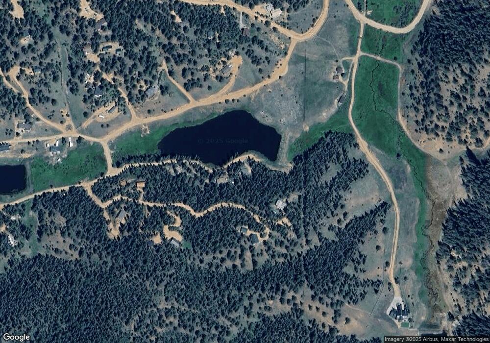
Map
Nearby Homes
- 209 Kenosha Cir
- 832 Spring Valley Dr
- 566 Spring Valley Dr
- 860 Spring Valley Dr Unit 13
- 170 Ridge Rd
- 47 Aspen Rd
- 810 Ridge Rd
- 377 Ridge Rd
- 310 Blossom Rd
- 237 Columbine Rd
- 358 Fern Rd
- 702 Lake Dr
- 374 Fern Rd
- 169 Evergreen Rd
- 85 Remwood Cir
- 169 Daisy St
- 451 Fern Rd
- 4076 Omer Ln
- 112 Blue Jay Ln
- 112 Blue Jay Ln
- 32 Kenosha Cir
- 352 Kenosha Cir
- 33 Kenosha Cir
- 64 Kenosha Cir
- 320 Kenosha Cir
- 288 Kenosha Cir
- 129 Kenosha Cir
- 161 Kenosha Cir
- 511 Shadow Lake Dr
- 192 Kenosha Cir
- 193 Kenosha Cir
- 514 Hopi Cir
- 996 Spring Valley Dr
- 962 Spring Valley Dr
- 31 Aztec Cir
- 928 Spring Valley Dr
- 1015 Spring Valley Dr
- 550 Shadow Lake Dr
- 63 Aztec Cir
- 94 Aztec Cir
Your Personal Tour Guide
Ask me questions while you tour the home.