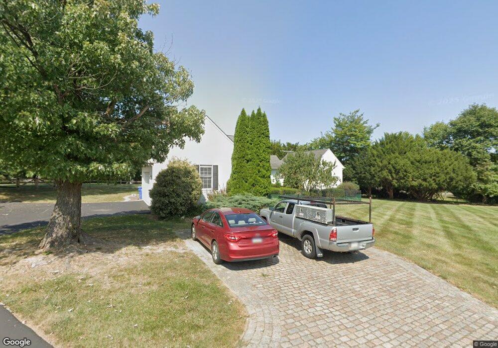
384 Lenni Rd Unit 3 Aston, PA 19014
Estimated Value: $716,000 - $814,000
4
Beds
3
Baths
2,634
Sq Ft
$287/Sq Ft
Est. Value
About This Home
This home is located at 384 Lenni Rd Unit 3, Aston, PA 19014 and is currently estimated at $757,102, approximately $287 per square foot. 384 Lenni Rd Unit 3 is a home located in Delaware County with nearby schools including Garnet Valley High School and St. Thomas Apostle School.
Ownership History
Date
Name
Owned For
Owner Type
Purchase Details
Closed on
Sep 5, 2025
Sold by
Clarke David M and Clarke Susan H
Bought by
Voghel Casey Mae Fouse and Voghel David
Current Estimated Value
Home Financials for this Owner
Home Financials are based on the most recent Mortgage that was taken out on this home.
Original Mortgage
$400,000
Outstanding Balance
$399,644
Interest Rate
6.58%
Mortgage Type
New Conventional
Estimated Equity
$357,458
Purchase Details
Closed on
Jun 30, 1997
Sold by
Silling Cyrus E and Silling Margaret M
Bought by
Clarke David M and Clarke Susan H
Create a Home Valuation Report for This Property
The Home Valuation Report is an in-depth analysis detailing your home's value as well as a comparison with similar homes in the area
Home Values in the Area
Average Home Value in this Area
Purchase History
| Date | Buyer | Sale Price | Title Company |
|---|---|---|---|
| Voghel Casey Mae Fouse | $750,000 | Key Abstract | |
| Clarke David M | $75,000 | -- |
Source: Public Records
Mortgage History
| Date | Status | Borrower | Loan Amount |
|---|---|---|---|
| Open | Voghel Casey Mae Fouse | $400,000 |
Source: Public Records
Tax History Compared to Growth
Tax History
| Year | Tax Paid | Tax Assessment Tax Assessment Total Assessment is a certain percentage of the fair market value that is determined by local assessors to be the total taxable value of land and additions on the property. | Land | Improvement |
|---|---|---|---|---|
| 2025 | $10,839 | $477,310 | $128,530 | $348,780 |
| 2024 | $10,839 | $477,310 | $128,530 | $348,780 |
| 2023 | $10,415 | $477,310 | $128,530 | $348,780 |
| 2022 | $10,415 | $477,310 | $128,530 | $348,780 |
| 2021 | $17,556 | $477,310 | $128,530 | $348,780 |
| 2020 | $8,587 | $218,030 | $56,720 | $161,310 |
| 2019 | $8,466 | $218,030 | $56,720 | $161,310 |
| 2018 | $8,357 | $218,030 | $0 | $0 |
| 2017 | $8,195 | $218,030 | $0 | $0 |
| 2016 | $1,197 | $218,030 | $0 | $0 |
| 2015 | $1,221 | $218,030 | $0 | $0 |
| 2014 | $1,221 | $218,030 | $0 | $0 |
Source: Public Records
Map
Nearby Homes
- 3 Rolling Heights Ln
- 48 Bishop Dr
- 346 Lenni Rd
- 220 Spring Valley Way
- 38 New Rd
- 324 Crozerville Rd
- 324 332 Crozerville Rd
- 214 Bishop Dr
- 213 Bishop Dr
- 21 Hoag Ln
- 277 W Baltimore Pike
- 103 Valleybrook Rd
- 4621 Aston Mills Rd
- 117 Segel Dr
- 131 Junction Rd
- 146 Logtown Rd
- 9 Ivy Ln
- 116 Ivy Mills Rd
- 120 Ivy Mills Rd
- 21 Eusden Dr
- 382 Lenni Rd
- 386 Lenni Rd
- 394 Lenni Rd
- 5 Rolling Heights Ln
- 378 Lenni Rd
- 7 Rolling Heights Ln
- 1 Rolling Heights Ln
- 2800 Lenni Rd
- 2350 Lenni Rd
- 7 Wilson Cir
- 8 Rolling Heights Ln
- 4 Rolling Heights Ln
- 5 Wilson Cir
- 9 Wilson Cir
- 11 Wilson Cir
- 1510 Hillcrest Ln
- 3 Wilson Cir
- 360 Lenni Rd
- 2300 Lenni Rd
- 362 Lenni Rd