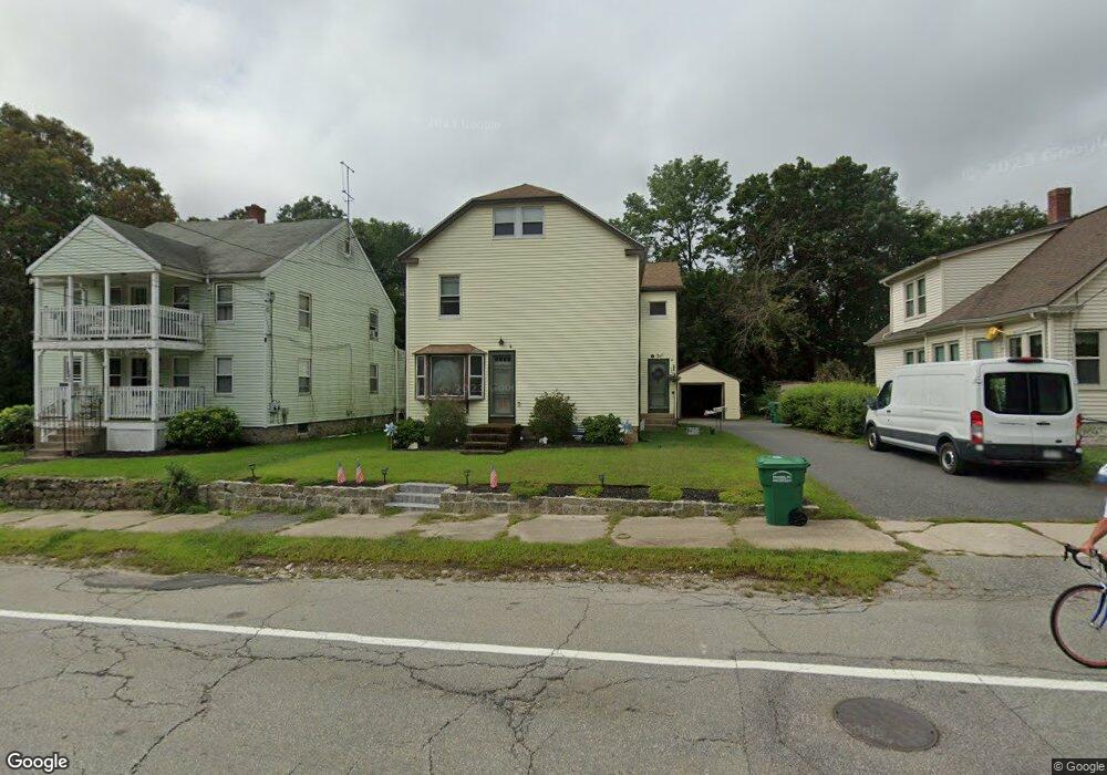
384 N Main St Uxbridge, MA 01569
Estimated Value: $443,498 - $538,000
4
Beds
2
Baths
1,776
Sq Ft
$278/Sq Ft
Est. Value
About This Home
This home is located at 384 N Main St, Uxbridge, MA 01569 and is currently estimated at $493,125, approximately $277 per square foot. 384 N Main St is a home located in Worcester County with nearby schools including Uxbridge High School, Whitinsville Christian School, and Our Lady of the Valley Regional School.
Create a Home Valuation Report for This Property
The Home Valuation Report is an in-depth analysis detailing your home's value as well as a comparison with similar homes in the area
Home Values in the Area
Average Home Value in this Area
Tax History Compared to Growth
Tax History
| Year | Tax Paid | Tax Assessment Tax Assessment Total Assessment is a certain percentage of the fair market value that is determined by local assessors to be the total taxable value of land and additions on the property. | Land | Improvement |
|---|---|---|---|---|
| 2025 | $4,970 | $379,100 | $127,800 | $251,300 |
| 2024 | $4,556 | $352,600 | $117,200 | $235,400 |
| 2023 | $4,537 | $325,200 | $106,500 | $218,700 |
| 2022 | $4,286 | $282,700 | $96,600 | $186,100 |
| 2021 | $4,404 | $278,400 | $92,300 | $186,100 |
| 2020 | $4,406 | $263,200 | $95,900 | $167,300 |
| 2019 | $4,310 | $248,400 | $88,800 | $159,600 |
| 2018 | $4,186 | $243,800 | $88,800 | $155,000 |
| 2017 | $3,999 | $235,800 | $75,500 | $160,300 |
| 2016 | $3,674 | $209,100 | $66,400 | $142,700 |
| 2015 | $3,586 | $206,100 | $66,400 | $139,700 |
Source: Public Records
Map
Nearby Homes
- 129 Elm St Unit Lot 7
- 126 Elm St
- 7 Wall St
- 19 Harvard St
- 32 Elm St
- 50 Carrington Ln
- 0 Homestead Ave
- 94 Carrington Ln Unit 94
- 235 Rivulet St
- 237 Heritage Dr Unit 237
- 38 William Ward St
- 0 Louis St
- 48 Homeward Ave
- 52 Homeward Ave
- 28-30 Haringa Ave
- 203 W Hartford Ave
- 7 Jefferson Ct Unit 7
- 179 Sutton St
- 19 Snowling Rd
- 45 Nature View Dr