384 Old Fort Rd La Pointe, WI 54850
Estimated Value: $245,425 - $452,000
--
Bed
--
Bath
--
Sq Ft
0.25
Acres
About This Home
This home is located at 384 Old Fort Rd, La Pointe, WI 54850 and is currently estimated at $334,856. 384 Old Fort Rd is a home with nearby schools including Bayfield High School.
Ownership History
Date
Name
Owned For
Owner Type
Purchase Details
Closed on
Mar 29, 2024
Sold by
Wanda J. Roche Declan P. Roche A and Wanda K
Bought by
Declan P Roche And Wanda J Roche Trus
Current Estimated Value
Purchase Details
Closed on
Oct 11, 2010
Sold by
Hauser Greg and Hauser Ann Wagner
Bought by
Roche Declan P and Roche Wande J
Home Financials for this Owner
Home Financials are based on the most recent Mortgage that was taken out on this home.
Original Mortgage
$145,250
Interest Rate
4.36%
Mortgage Type
New Conventional
Purchase Details
Closed on
Sep 19, 2007
Sold by
Anderson Stephen J and Anderson Amy Jo
Bought by
Hauser Greg and Wanger Hauser Ann
Create a Home Valuation Report for This Property
The Home Valuation Report is an in-depth analysis detailing your home's value as well as a comparison with similar homes in the area
Home Values in the Area
Average Home Value in this Area
Purchase History
| Date | Buyer | Sale Price | Title Company |
|---|---|---|---|
| Declan P Roche And Wanda J Roche Trus | $159,200 | Wilson Law Group, Llc | |
| Roche Declan P | $200,000 | None Available | |
| Hauser Greg | $140,000 | None Available |
Source: Public Records
Mortgage History
| Date | Status | Borrower | Loan Amount |
|---|---|---|---|
| Previous Owner | Roche Declan P | $145,250 |
Source: Public Records
Tax History Compared to Growth
Tax History
| Year | Tax Paid | Tax Assessment Tax Assessment Total Assessment is a certain percentage of the fair market value that is determined by local assessors to be the total taxable value of land and additions on the property. | Land | Improvement |
|---|---|---|---|---|
| 2024 | $4,328 | $210,200 | $25,000 | $185,200 |
| 2023 | $3,989 | $159,200 | $14,800 | $144,400 |
| 2022 | $3,690 | $159,200 | $14,800 | $144,400 |
| 2021 | $3,677 | $159,200 | $14,800 | $144,400 |
| 2020 | $3,576 | $159,200 | $14,800 | $144,400 |
| 2019 | $3,390 | $159,200 | $14,800 | $144,400 |
| 2018 | $3,187 | $159,200 | $14,800 | $144,400 |
| 2017 | $3,124 | $159,200 | $14,800 | $144,400 |
| 2016 | $3,130 | $159,200 | $14,800 | $144,400 |
| 2015 | $3,348 | $159,200 | $14,800 | $144,400 |
| 2014 | $2,867 | $160,000 | $15,600 | $144,400 |
| 2013 | $2,975 | $160,000 | $15,600 | $144,400 |
Source: Public Records
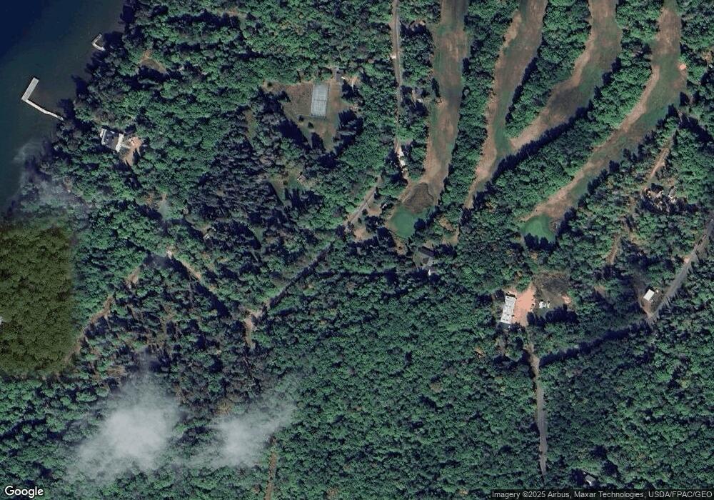
Map
Nearby Homes
- 436 Bojo Ln
- 365 Mondamin Tr
- 438 Minnewawa Rd
- 434 Minnewawa Rd
- Lot 2, Block 2 Raspberry Trail
- Lot 3, Block 1 Raspberry Trail
- Lot 6, Block 1 Raspberry Trail
- Lot 5 Raspberry Trail
- Lot 1, Block 2 Raspberry Trail
- Lot 1, Block 1 Raspberry Trail
- 657 Spruce Ln
- 869 S Shore Rd
- 933 Nebraska Row Unit 916 Whitefish Street
- 804 Middle Rd
- 873 Middle Rd Unit 871 Middle Rd
- 1161 Middle Rd
- Lots 1-5 Wilson Ave
- 33 N 1st St Unit 203
- 24610 State Highway 13
- 11XXX Old Military Rd
- 390 Old Fort Rd
- 376 Old Fort Rd
- 392 Old Fort Rd
- 364 Old Fort Rd
- 379 Old Fort Rd
- 383 Old Fort Rd
- 409 Old Fort Rd
- 400 Old Fort Rd
- 410 Fort Rd
- 427 Old Fort Rd
- 421 Old Fort Rd
- 359 Mondamin Trail
- 438 Old Fort Rd
- 415 Old Fort Rd
- 365 Mondamin Trail
- 351 Old Fort Rd
- 443 Bojo Ln
- 383 Mondamin Trail
- 442 Bojo Ln
- 347 Ross Ln