384 Rr 1 Clarksburg, WV 26301
Estimated Value: $287,000 - $391,000
3
Beds
2
Baths
1,834
Sq Ft
$187/Sq Ft
Est. Value
About This Home
This home is located at 384 Rr 1, Clarksburg, WV 26301 and is currently estimated at $343,160, approximately $187 per square foot. 384 Rr 1 is a home located in Harrison County with nearby schools including St. Mary's Grade School, Emmanuel Christian School, and Notre Dame Middle School and Notre Dame High School.
Ownership History
Date
Name
Owned For
Owner Type
Purchase Details
Closed on
Mar 25, 2020
Sold by
Post Maurice
Bought by
Goff Nicklaus H
Current Estimated Value
Home Financials for this Owner
Home Financials are based on the most recent Mortgage that was taken out on this home.
Original Mortgage
$230,000
Outstanding Balance
$202,917
Interest Rate
3.3%
Mortgage Type
VA
Estimated Equity
$140,243
Create a Home Valuation Report for This Property
The Home Valuation Report is an in-depth analysis detailing your home's value as well as a comparison with similar homes in the area
Home Values in the Area
Average Home Value in this Area
Purchase History
| Date | Buyer | Sale Price | Title Company |
|---|---|---|---|
| Goff Nicklaus H | $230,000 | None Available |
Source: Public Records
Mortgage History
| Date | Status | Borrower | Loan Amount |
|---|---|---|---|
| Open | Goff Nicklaus H | $230,000 |
Source: Public Records
Tax History Compared to Growth
Tax History
| Year | Tax Paid | Tax Assessment Tax Assessment Total Assessment is a certain percentage of the fair market value that is determined by local assessors to be the total taxable value of land and additions on the property. | Land | Improvement |
|---|---|---|---|---|
| 2024 | $2,058 | $166,920 | $29,640 | $137,280 |
| 2023 | $1,915 | $155,640 | $29,640 | $126,000 |
| 2022 | $1,821 | $154,500 | $29,640 | $124,860 |
| 2021 | $1,794 | $154,080 | $29,640 | $124,440 |
| 2020 | $1,068 | $112,620 | $28,200 | $84,420 |
| 2019 | $1,064 | $112,200 | $28,200 | $84,000 |
| 2018 | $1,045 | $111,000 | $28,200 | $82,800 |
| 2017 | $1,005 | $107,940 | $28,200 | $79,740 |
| 2016 | $976 | $106,440 | $28,200 | $78,240 |
| 2015 | $943 | $103,020 | $26,700 | $76,320 |
| 2014 | $923 | $101,340 | $26,220 | $75,120 |
Source: Public Records
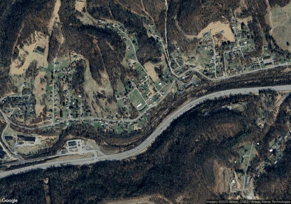
Map
Nearby Homes
- 1672 Milford St
- 121 Stoneybrook Rd
- 99 Liberty Ave
- 0 Milford St
- 211 Liberty Ave
- 725 Milford St
- 125 Hartland Ave
- TBD Doll Run Rd
- 108 W Woodland Ave
- 256 W Woodland Ave
- 790 Verdun St
- 129 Thorn St
- 511 Milford St
- 280 Brighton Circle Rd
- 600 King St
- 0 Eagle Way
- 426 Duff Ave
- 482 County Route 25 27
- 328.5 Milford St
- 311 Stealey Ave