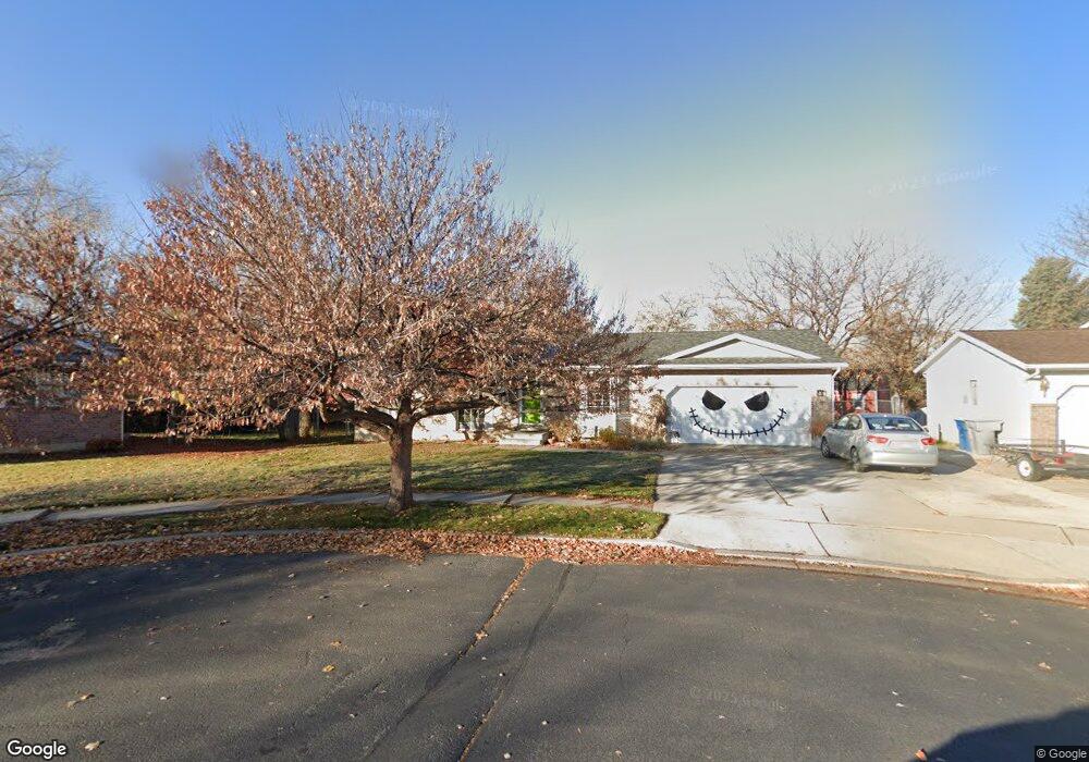
384 S 450 W American Fork, UT 84003
Estimated Value: $515,584 - $554,000
4
Beds
2
Baths
1,803
Sq Ft
$292/Sq Ft
Est. Value
About This Home
This home is located at 384 S 450 W, American Fork, UT 84003 and is currently estimated at $525,896, approximately $291 per square foot. 384 S 450 W is a home located in Utah County with nearby schools including Greenwood Elementary School, American Fork Junior High School, and American Fork High School.
Ownership History
Date
Name
Owned For
Owner Type
Purchase Details
Closed on
Aug 12, 2016
Sold by
Sandi Kim Ness
Bought by
Thorstrom Brant and Thorstrom Hillary
Current Estimated Value
Home Financials for this Owner
Home Financials are based on the most recent Mortgage that was taken out on this home.
Original Mortgage
$188,400
Outstanding Balance
$150,176
Interest Rate
3.45%
Estimated Equity
$375,720
Purchase Details
Closed on
May 16, 2005
Sold by
Eastwood Michelle A
Bought by
Ness Sandi Kim
Home Financials for this Owner
Home Financials are based on the most recent Mortgage that was taken out on this home.
Original Mortgage
$130,800
Interest Rate
5.84%
Mortgage Type
Fannie Mae Freddie Mac
Create a Home Valuation Report for This Property
The Home Valuation Report is an in-depth analysis detailing your home's value as well as a comparison with similar homes in the area
Home Values in the Area
Average Home Value in this Area
Purchase History
| Date | Buyer | Sale Price | Title Company |
|---|---|---|---|
| Thorstrom Brant | -- | -- | |
| Ness Sandi Kim | -- | Guardian Title Company Of U |
Source: Public Records
Mortgage History
| Date | Status | Borrower | Loan Amount |
|---|---|---|---|
| Open | Thorstrom Brant | $188,400 | |
| Closed | Thorstrom Brant | -- | |
| Previous Owner | Ness Sandi Kim | $130,800 |
Source: Public Records
Tax History Compared to Growth
Tax History
| Year | Tax Paid | Tax Assessment Tax Assessment Total Assessment is a certain percentage of the fair market value that is determined by local assessors to be the total taxable value of land and additions on the property. | Land | Improvement |
|---|---|---|---|---|
| 2025 | $2,203 | $270,325 | $209,800 | $281,700 |
| 2024 | $2,203 | $244,805 | $0 | $0 |
| 2023 | $2,081 | $245,135 | $0 | $0 |
| 2022 | $2,113 | $245,685 | $0 | $0 |
| 2021 | $1,757 | $319,000 | $131,700 | $187,300 |
| 2020 | $1,652 | $291,000 | $117,600 | $173,400 |
| 2019 | $1,537 | $280,000 | $106,600 | $173,400 |
| 2018 | $1,436 | $250,000 | $99,200 | $150,800 |
| 2017 | $1,420 | $133,485 | $0 | $0 |
| 2016 | $1,427 | $124,575 | $0 | $0 |
| 2015 | $1,359 | $112,640 | $0 | $0 |
| 2014 | $1,323 | $108,130 | $0 | $0 |
Source: Public Records
Map
Nearby Homes