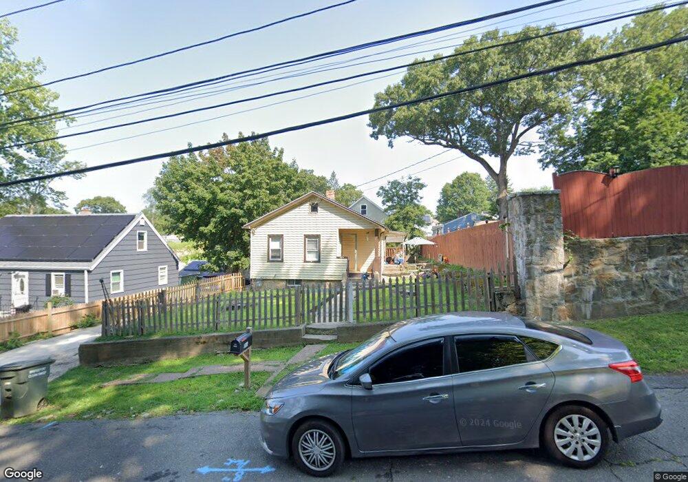
384 Saunders Ave Bridgeport, CT 06606
Reservoir-Whiskey Hill NeighborhoodEstimated Value: $280,000 - $325,000
3
Beds
1
Bath
1,000
Sq Ft
$305/Sq Ft
Est. Value
About This Home
This home is located at 384 Saunders Ave, Bridgeport, CT 06606 and is currently estimated at $304,738, approximately $304 per square foot. 384 Saunders Ave is a home located in Fairfield County with nearby schools including Hallen School, Central High School, and Northeastern Adventist Academy - Fairfield County.
Ownership History
Date
Name
Owned For
Owner Type
Purchase Details
Closed on
Jan 4, 2011
Sold by
Owb Reo Llc
Bought by
Naftaly Llc
Current Estimated Value
Purchase Details
Closed on
Mar 30, 2010
Sold by
One West Bank Fsb
Bought by
Imb Reo Llc
Purchase Details
Closed on
Mar 22, 2010
Sold by
Filokos Angelo
Bought by
One West Bank Fsb
Purchase Details
Closed on
Apr 22, 2004
Sold by
Stoerzinrer Brian
Bought by
Flokos Angelo and Flokos Kai
Purchase Details
Closed on
Nov 19, 1990
Sold by
Roberts Vivian
Bought by
Stoerzinger Brian
Create a Home Valuation Report for This Property
The Home Valuation Report is an in-depth analysis detailing your home's value as well as a comparison with similar homes in the area
Home Values in the Area
Average Home Value in this Area
Purchase History
| Date | Buyer | Sale Price | Title Company |
|---|---|---|---|
| Naftaly Llc | $52,500 | -- | |
| Owb Reo Llc | -- | -- | |
| Naftaly Llc | $52,500 | -- | |
| Imb Reo Llc | -- | -- | |
| Imb Reo Llc | -- | -- | |
| One West Bank Fsb | -- | -- | |
| One West Bank Fsb | -- | -- | |
| Flokos Angelo | $135,000 | -- | |
| Flokos Angelo | $135,000 | -- | |
| Stoerzinger Brian | $87,000 | -- |
Source: Public Records
Mortgage History
| Date | Status | Borrower | Loan Amount |
|---|---|---|---|
| Previous Owner | Stoerzinger Brian | $60,000 | |
| Previous Owner | Stoerzinger Brian | $247,000 |
Source: Public Records
Tax History Compared to Growth
Tax History
| Year | Tax Paid | Tax Assessment Tax Assessment Total Assessment is a certain percentage of the fair market value that is determined by local assessors to be the total taxable value of land and additions on the property. | Land | Improvement |
|---|---|---|---|---|
| 2025 | $4,882 | $112,360 | $64,930 | $47,430 |
| 2024 | $4,882 | $112,360 | $64,930 | $47,430 |
| 2023 | $4,882 | $112,360 | $64,930 | $47,430 |
| 2022 | $4,882 | $112,360 | $64,930 | $47,430 |
| 2021 | $4,882 | $112,360 | $64,930 | $47,430 |
| 2020 | $4,150 | $76,860 | $37,370 | $39,490 |
| 2019 | $4,150 | $76,860 | $37,370 | $39,490 |
| 2018 | $4,179 | $76,860 | $37,370 | $39,490 |
| 2017 | $4,179 | $76,860 | $37,370 | $39,490 |
| 2016 | $4,179 | $76,860 | $37,370 | $39,490 |
| 2015 | $4,089 | $96,900 | $42,840 | $54,060 |
| 2014 | $4,089 | $96,900 | $42,840 | $54,060 |
Source: Public Records
Map
Nearby Homes
- 45 Polk St
- 385 Chamberlain Ave
- 355 Chamberlain Ave
- 123 Exeter St
- 500 Woodlawn Avenue Extension
- 330 Oakwood St
- 285 Alba Ave
- 475 Alba Ave
- 410 Alba Ave
- 130 Wilkins Ave
- 138 Infield St
- 936 Chopsey Hill Rd
- 110 Wilkins Ave
- 365 Platt St
- 495 Alba Ave
- 28 Wilkins Ave
- 245 Indian Ave
- 235 Indian Ave
- 717 Reservoir Ave
- 705 Reservoir Ave
- 394 Saunders Ave
- 364 Saunders Ave
- 239 Moffitt St
- 229 Moffitt St
- 249 Moffitt St
- 42 Saunders Ave
- 252 Saunders Ave
- 389 Saunders Ave
- 420 Saunders Ave
- 416 Saunders Ave
- 360 Saunders Ave
- 369 Saunders Ave
- 325 Moffitt Aka Map Quest To 477 Saunders St
- 221 Moffitt St
- 267 Moffitt St
- 207 Moffitt St
- 262 Saunders Ave
- 353 Saunders Ave
- 340 Saunders Ave
- 424 Saunders Ave