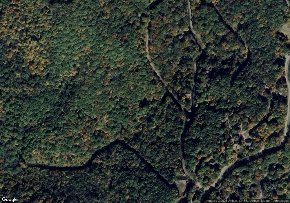
384 Spring Brook Dr Mars Hill, NC 28754
Estimated Value: $575,000 - $781,000
Studio
1
Bath
2,520
Sq Ft
$256/Sq Ft
Est. Value
About This Home
This home is located at 384 Spring Brook Dr, Mars Hill, NC 28754 and is currently estimated at $644,245, approximately $255 per square foot. 384 Spring Brook Dr is a home with nearby schools including Madison Middle School.
Ownership History
Date
Name
Owned For
Owner Type
Purchase Details
Closed on
Nov 24, 2018
Sold by
Huntington Bonnie R and Bonnie R Huntington Revocable
Bought by
Baer Mclanie and Baer Daniel
Current Estimated Value
Home Financials for this Owner
Home Financials are based on the most recent Mortgage that was taken out on this home.
Original Mortgage
$280,000
Outstanding Balance
$246,204
Interest Rate
4.8%
Mortgage Type
New Conventional
Estimated Equity
$398,041
Purchase Details
Closed on
Dec 19, 1998
Bought by
Huntington Bonnie
Create a Home Valuation Report for This Property
The Home Valuation Report is an in-depth analysis detailing your home's value as well as a comparison with similar homes in the area
Home Values in the Area
Average Home Value in this Area
Purchase History
| Date | Buyer | Sale Price | Title Company |
|---|---|---|---|
| Baer Mclanie | $350,000 | None Available | |
| Huntington Bonnie | $122,500 | -- |
Source: Public Records
Mortgage History
| Date | Status | Borrower | Loan Amount |
|---|---|---|---|
| Open | Baer Mclanie | $280,000 |
Source: Public Records
Tax History
| Year | Tax Paid | Tax Assessment Tax Assessment Total Assessment is a certain percentage of the fair market value that is determined by local assessors to be the total taxable value of land and additions on the property. | Land | Improvement |
|---|---|---|---|---|
| 2024 | $2,196 | $447,931 | $48,400 | $399,531 |
| 2023 | $1,835 | $280,429 | $36,000 | $244,429 |
| 2022 | $1,835 | $280,429 | $36,000 | $244,429 |
| 2021 | $1,835 | $280,429 | $36,000 | $244,429 |
| 2020 | $1,835 | $280,429 | $36,000 | $244,429 |
| 2019 | $1,579 | $221,744 | $27,000 | $194,744 |
| 2018 | $1,353 | $0 | $0 | $0 |
| 2017 | $165 | $0 | $0 | $0 |
| 2016 | $165 | $0 | $0 | $0 |
| 2015 | -- | $0 | $0 | $0 |
| 2014 | -- | $27,000 | $27,000 | $0 |
| 2013 | -- | $221,744 | $27,000 | $194,744 |
Source: Public Records
Map
Nearby Homes
- 191 Ivy Way
- 00 Spring Brook Dr Unit 314
- 000 McDaris Loop Dr Unit 203
- 690 Oakridge Ln
- 229 Hanging Rock Rd
- 115 Mountainside Ln
- 73 Oak Ridge Ct Unit 698 & 699
- 285 Granny Lewis Ln
- 1040 Oak Ridge Ln
- 1065 Oak Ridge Ln
- 000 English Ridge Dr Unit 23
- 000 English Ridge Dr Unit 34
- 563 Bee Tree Ln
- 00 Trillium Ln
- 22 Zebulon Ln
- 27 Trillium Ln
- Lot 20 Trillium Ln
- 210 Spring Valley Dr Unit 624 & 625
- 672 Chestnut Ln
- 000 Bee Tree Ln Unit 69
- 319 Spring Brook Dr
- 321 Spring Brook Dr
- 000 Ivy Way Unit 201
- 32 Ivy Way
- 203 McDaris Loop Dr Unit 203
- 314 Spring Brook Dr Unit 314
- 188 McDaris Loop Dr
- 88 McDaris Loop Unit 189
- 88 McDaris Loop
- 206 McDaris Loop
- 246 McDaris Loop Unit 184
- 246 McDaris Loop
- 53 Hampton Gap Rd Unit Multi
- 357 McDaris Loop
- 792 McDaris Loop
- 177 McDaris Loop Dr
- 306 McDaris Loop
- 768 McDaris Loop Unit 172
- 768 McDaris Loop
- 123 Hampton Gap Dr
