384 Stone Bridge Path Temple, GA 30179
Estimated Value: $444,000 - $526,000
3
Beds
2
Baths
3,051
Sq Ft
$159/Sq Ft
Est. Value
About This Home
This home is located at 384 Stone Bridge Path, Temple, GA 30179 and is currently estimated at $485,630, approximately $159 per square foot. 384 Stone Bridge Path is a home located in Paulding County with nearby schools including Union Elementary School, Carl Scoggins Sr. Middle School, and South Paulding High School.
Ownership History
Date
Name
Owned For
Owner Type
Purchase Details
Closed on
Apr 7, 2023
Sold by
Whitfield Donna S
Bought by
Salazar Donna Sue and Salazar John
Current Estimated Value
Home Financials for this Owner
Home Financials are based on the most recent Mortgage that was taken out on this home.
Original Mortgage
$71,000
Outstanding Balance
$62,233
Interest Rate
5.95%
Mortgage Type
New Conventional
Estimated Equity
$423,397
Purchase Details
Closed on
Feb 2, 2004
Sold by
Whitfield Michael R
Bought by
Whitfield Donna S
Purchase Details
Closed on
Sep 27, 1997
Sold by
Commonwealth Resources Inc
Purchase Details
Closed on
Sep 26, 1997
Sold by
George Ronnie L and George Sandy L
Purchase Details
Closed on
Feb 26, 1997
Sold by
First Family Financial Serv
Purchase Details
Closed on
Jun 11, 1996
Sold by
Commonwealth Resources Inc
Create a Home Valuation Report for This Property
The Home Valuation Report is an in-depth analysis detailing your home's value as well as a comparison with similar homes in the area
Home Values in the Area
Average Home Value in this Area
Purchase History
| Date | Buyer | Sale Price | Title Company |
|---|---|---|---|
| Salazar Donna Sue | -- | -- | |
| Whitfield Donna S | -- | -- | |
| -- | -- | -- | |
| -- | $27,000 | -- | |
| -- | $22,000 | -- | |
| -- | $22,000 | -- |
Source: Public Records
Mortgage History
| Date | Status | Borrower | Loan Amount |
|---|---|---|---|
| Open | Salazar Donna Sue | $71,000 |
Source: Public Records
Tax History
| Year | Tax Paid | Tax Assessment Tax Assessment Total Assessment is a certain percentage of the fair market value that is determined by local assessors to be the total taxable value of land and additions on the property. | Land | Improvement |
|---|---|---|---|---|
| 2025 | $4,310 | $176,592 | $29,240 | $147,352 |
| 2024 | $4,301 | $176,136 | $26,360 | $149,776 |
| 2023 | $4,284 | $166,868 | $25,080 | $141,788 |
| 2022 | $3,831 | $148,820 | $24,200 | $124,620 |
| 2021 | $3,416 | $119,396 | $17,320 | $102,076 |
| 2020 | $3,307 | $113,188 | $14,840 | $98,348 |
| 2019 | $3,008 | $101,680 | $12,880 | $88,800 |
| 2018 | $2,896 | $97,996 | $10,760 | $87,236 |
| 2017 | $2,732 | $91,292 | $10,760 | $80,532 |
| 2016 | $2,289 | $77,552 | $11,600 | $65,952 |
| 2015 | $2,206 | $73,528 | $11,600 | $61,928 |
| 2014 | $2,032 | $66,232 | $9,960 | $56,272 |
| 2013 | -- | $56,640 | $9,960 | $46,680 |
Source: Public Records
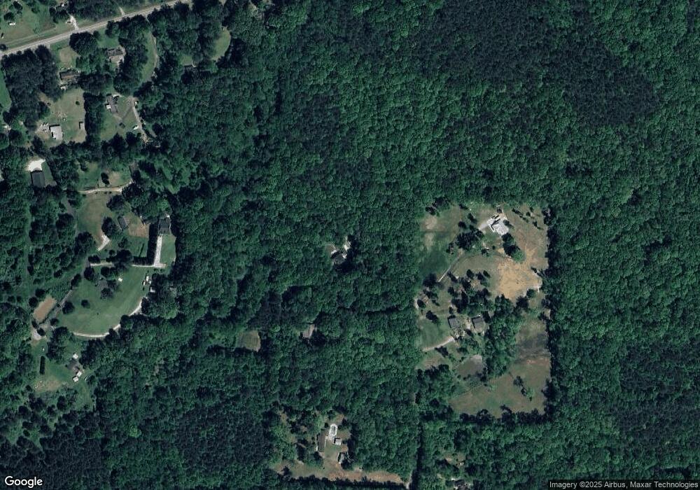
Map
Nearby Homes
- 10331 Buchanan Hwy
- 689 Hardin Rd
- 265 Honeysuckle Ln
- 170 Baskin Rd
- 718 Baskin Rd
- 11070 Buchanan Hwy
- 128 Tanner Dr
- 391 Mulberry Rock Rd
- 250 Carter Creek Dr
- 0 Rustin Dr Unit 10617842
- 0 Rustin Dr Unit 7657021
- 0 Courthouse Park Dr Unit 10491475
- 221 Courthouse Park Dr
- 877 Georgia 101
- 177 Rustin Dr
- 493 Courthouse Park Dr
- 502 Courthouse Park Dr
- 200 Bear Ln
- 221 Pleasant Way
- 62 Rabon Trail
- 364 Stone Bridge Path
- 504 Arrow Wood Path
- 265 Tallapoosa Way
- 530 Arrow Wood Path
- 214 Stone Bridge Path Unit 5
- 10385 Buchanan Hwy
- 193 Tallapoosa Way
- 133 Tallapoosa Way
- 207 Tallapoosa Way
- 10343 Buchanan Hwy
- 203 Tallapoosa Way
- 10299 Buchanan Hwy
- 10299 Buchanan Hwy
- 376 Arrow Wood Path
- 10391 Buchanan Hwy
- 281 Tallapoosa Way
- 10417 Buchanan Hwy
- 10230 Buchanan Hwy
- 100 Tallapoosa Way
- 10479 Buchanan Hwy