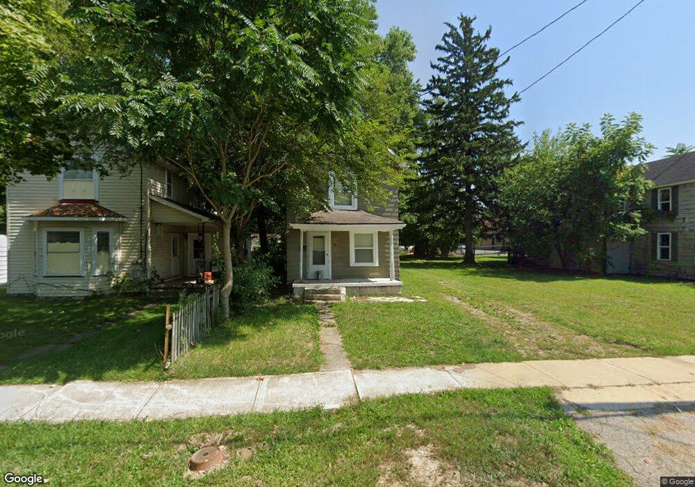
384 Thompson St Marion, OH 43302
Estimated Value: $47,615 - $85,000
2
Beds
1
Bath
1,064
Sq Ft
$66/Sq Ft
Est. Value
About This Home
This home is located at 384 Thompson St, Marion, OH 43302 and is currently estimated at $69,904, approximately $65 per square foot. 384 Thompson St is a home located in Marion County with nearby schools including Rutherford B. Hayes Elementary School, Ulysses S. Grant Middle School, and Harding High School.
Ownership History
Date
Name
Owned For
Owner Type
Purchase Details
Closed on
May 22, 2022
Sold by
Hensel Enterprise Inc
Bought by
Marion Property Investment Llc
Current Estimated Value
Purchase Details
Closed on
Aug 12, 2020
Sold by
County Of Marion
Bought by
Hensel Investments Llc
Purchase Details
Closed on
Mar 4, 2020
Bought by
Marion County Auditor
Purchase Details
Closed on
Jan 30, 2008
Sold by
Hall Clifford D and Hall Michelle L
Bought by
Hall Clifford D and Hall Judith K
Purchase Details
Closed on
Feb 5, 2001
Bought by
Hall Clifford D and Surv Judith K
Purchase Details
Closed on
Aug 6, 1998
Bought by
Hall Clifford D and Surv Judith K
Create a Home Valuation Report for This Property
The Home Valuation Report is an in-depth analysis detailing your home's value as well as a comparison with similar homes in the area
Home Values in the Area
Average Home Value in this Area
Purchase History
| Date | Buyer | Sale Price | Title Company |
|---|---|---|---|
| Marion Property Investment Llc | -- | Hall Kevin R | |
| Hensel Investments Llc | -- | None Available | |
| Marion County Auditor | -- | -- | |
| Hall Clifford D | -- | None Available | |
| Hall Clifford D | $52,000 | -- | |
| Hall Clifford D | $20,500 | -- |
Source: Public Records
Tax History
| Year | Tax Paid | Tax Assessment Tax Assessment Total Assessment is a certain percentage of the fair market value that is determined by local assessors to be the total taxable value of land and additions on the property. | Land | Improvement |
|---|---|---|---|---|
| 2025 | $469 | $18,270 | $1,050 | $17,220 |
| 2024 | $469 | $8,330 | $1,000 | $7,330 |
| 2023 | $469 | $8,330 | $1,000 | $7,330 |
| 2022 | $498 | $8,330 | $1,000 | $7,330 |
| 2021 | $259 | $6,510 | $870 | $5,640 |
| 2020 | $258 | $6,510 | $870 | $5,640 |
| 2019 | $260 | $6,510 | $870 | $5,640 |
| 2018 | $563 | $8,470 | $860 | $7,610 |
| 2017 | $833 | $8,470 | $860 | $7,610 |
| 2016 | $338 | $8,470 | $860 | $7,610 |
| 2015 | $338 | $8,280 | $820 | $7,460 |
| 2014 | $565 | $8,280 | $820 | $7,460 |
| 2012 | $420 | $10,210 | $870 | $9,340 |
Source: Public Records
Map
Nearby Homes
- 414 Thompson St
- 416 Thompson St
- 805 Silver St
- 230 Edwards St
- 641 Blake Ave
- 213 Sharp St
- 839 Bennett St
- 284 Latourette St
- 138 Park Blvd
- 343 Commercial St
- 245 Park Blvd
- 199 Olney Ave
- 355 Nye St
- 324 W Church St
- 374 Nunin Ct
- 636 Oak St
- 620 Herman St
- 376 Park Blvd
- 438 N Prospect St Unit 434
- 302 Blaine Ave
- 388 Thompson St
- 374 Thompson St
- 394 Thompson St
- 375 Thompson St
- 389 Scranton Ave
- 395 Scranton Ave
- 406 Thompson St
- 403 Scranton Ave
- 379 Thompson St
- 389 Thompson St
- 403 Thompson St
- 409 Scranton Ave
- 397 Thompson St
- 369 Thompson St
- 365 Thompson St
- 415 Scranton Ave
- 422 Thompson St
- 421 Thompson St
- 355 Thompson St
- 425 Scranton Ave
Your Personal Tour Guide
Ask me questions while you tour the home.