3840 Hillsdale Dr Unit 71 Auburn Hills, MI 48326
Estimated Value: $440,431 - $449,000
2
Beds
2
Baths
1,700
Sq Ft
$261/Sq Ft
Est. Value
About This Home
This home is located at 3840 Hillsdale Dr Unit 71, Auburn Hills, MI 48326 and is currently estimated at $444,358, approximately $261 per square foot. 3840 Hillsdale Dr Unit 71 is a home located in Oakland County with nearby schools including Rogers Elementary, Pontiac Middle School, and Pontiac High School.
Ownership History
Date
Name
Owned For
Owner Type
Purchase Details
Closed on
Jun 3, 2014
Sold by
Bigley Bernard W
Bought by
Bernard W Bigley Revocable Living Trust
Current Estimated Value
Purchase Details
Closed on
May 10, 2011
Sold by
Blumberg Arlene M and Keyes Barbara
Bought by
Bigley Bernard W and Barbara M Bigley Revocable Living Trust
Purchase Details
Closed on
Dec 18, 2006
Sold by
Schwab Robert E and Schwab Betty M
Bought by
Blumberg Arlene M
Purchase Details
Closed on
Mar 21, 2000
Sold by
Heritage Of Auburn Hills
Bought by
Schwab Robert E
Create a Home Valuation Report for This Property
The Home Valuation Report is an in-depth analysis detailing your home's value as well as a comparison with similar homes in the area
Home Values in the Area
Average Home Value in this Area
Purchase History
| Date | Buyer | Sale Price | Title Company |
|---|---|---|---|
| Bernard W Bigley Revocable Living Trust | -- | None Available | |
| Bigley Bernard W | $132,900 | Liberty Title | |
| Blumberg Arlene M | $210,000 | Title One Inc | |
| Schwab Robert E | $229,768 | -- |
Source: Public Records
Tax History Compared to Growth
Tax History
| Year | Tax Paid | Tax Assessment Tax Assessment Total Assessment is a certain percentage of the fair market value that is determined by local assessors to be the total taxable value of land and additions on the property. | Land | Improvement |
|---|---|---|---|---|
| 2024 | $1,678 | $173,340 | $0 | $0 |
| 2023 | $1,601 | $171,330 | $0 | $0 |
| 2022 | $2,830 | $147,750 | $0 | $0 |
| 2021 | $2,786 | $136,770 | $0 | $0 |
| 2020 | $1,507 | $142,160 | $0 | $0 |
| 2019 | $2,556 | $137,140 | $0 | $0 |
| 2018 | $2,500 | $132,780 | $0 | $0 |
| 2017 | $2,420 | $130,130 | $0 | $0 |
| 2016 | $2,404 | $119,860 | $0 | $0 |
| 2015 | -- | $106,260 | $0 | $0 |
| 2014 | -- | $88,290 | $0 | $0 |
| 2011 | -- | $84,480 | $0 | $0 |
Source: Public Records
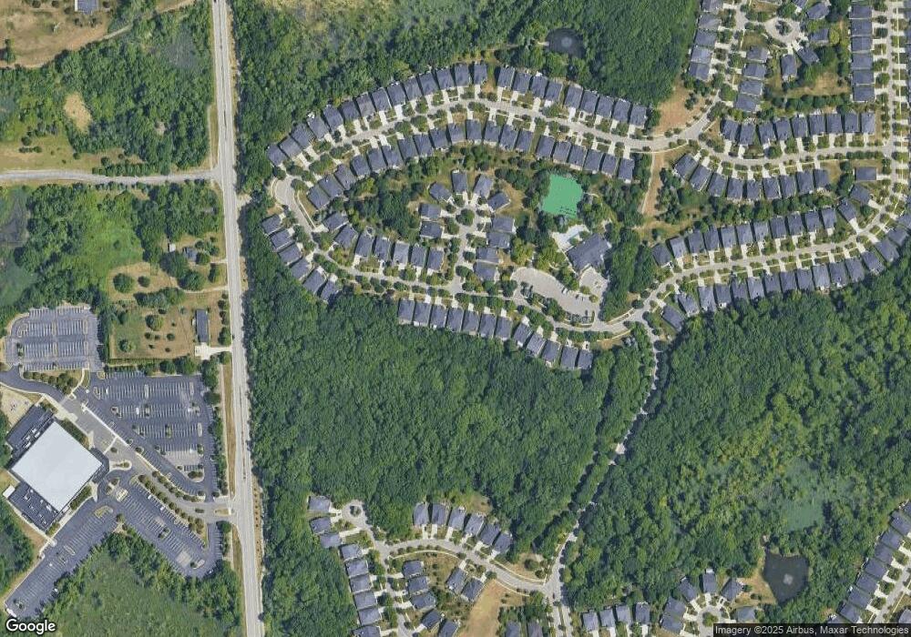
Map
Nearby Homes
- 4035 Hillsdale Dr Unit 275
- 3534 Riverside Dr Unit 141
- 3640 Camden Ct
- 3634 Camden Ct
- 3780 Bald Mountain Rd
- 3633 Thornwood Dr
- 3879 Teakwood Ln
- 3095 Bridgewater Rd Unit 30
- 3057 Bridgewater Rd
- 3674 Merriweather Ln
- 3111 Ramzi Ln
- 423 Silvervale Dr
- 3101 Elstead St
- 1906 Independence Ct
- 3639 Heatherwood Ct
- 2638 Patrick Henry Rd
- 2530 Patrick Henry St
- 5700 Rolling Hills Dr
- 3164 Bookham Cir
- 3160 Bookham Cir
- 3842 Hillsdale Dr
- 3820 Hillsdale Dr
- 3844 Hillsdale Dr
- 3816 Hillsdale Dr
- 3846 Hillsdale Dr
- 3848 Hillsdale Dr Unit 67
- 3819 Hillsdale Dr
- 3819 Hillsdale Dr Unit 85
- 3817 Hillsdale Dr Unit 86
- 3850 Hillsdale Dr Unit Bldg-Unit
- 3850 Hillsdale Dr
- 3837 Springwood Ct Unit 76
- 3815 Hillsdale Dr
- 3835 Springwood Ct Unit 77
- 3835 Springwood Ct Unit 771
- 3821 Springwood Ct Unit 84
- 3852 Hillsdale Dr
- 3813 Hillsdale Dr
- 3833 Springwood Ct Unit 78
- 3823 Springwood Ct