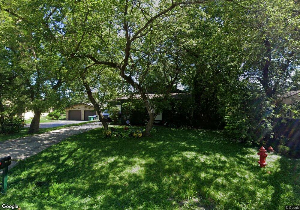
38411 N Wilson Ave Beach Park, IL 60087
Estimated Value: $244,000 - $300,000
3
Beds
2
Baths
1,320
Sq Ft
$208/Sq Ft
Est. Value
About This Home
This home is located at 38411 N Wilson Ave, Beach Park, IL 60087 and is currently estimated at $274,125, approximately $207 per square foot. 38411 N Wilson Ave is a home located in Lake County with nearby schools including Howe Elementary School, Beach Park Middle School, and Zion-Benton Township High School.
Ownership History
Date
Name
Owned For
Owner Type
Purchase Details
Closed on
Mar 19, 2001
Sold by
Curtis Mark A and Curtis Frederique M
Bought by
Boroski Brian D and Boroski Cassandra L
Current Estimated Value
Home Financials for this Owner
Home Financials are based on the most recent Mortgage that was taken out on this home.
Original Mortgage
$137,950
Outstanding Balance
$50,232
Interest Rate
7.02%
Mortgage Type
FHA
Estimated Equity
$223,894
Purchase Details
Closed on
Jul 11, 1994
Sold by
Fleming Bryan D and Fleming Niramol
Bought by
Curtis Mark A and Curtis Frederique M
Home Financials for this Owner
Home Financials are based on the most recent Mortgage that was taken out on this home.
Original Mortgage
$99,284
Interest Rate
8.6%
Mortgage Type
FHA
Create a Home Valuation Report for This Property
The Home Valuation Report is an in-depth analysis detailing your home's value as well as a comparison with similar homes in the area
Home Values in the Area
Average Home Value in this Area
Purchase History
| Date | Buyer | Sale Price | Title Company |
|---|---|---|---|
| Boroski Brian D | $140,000 | -- | |
| Curtis Mark A | $108,000 | First American Title |
Source: Public Records
Mortgage History
| Date | Status | Borrower | Loan Amount |
|---|---|---|---|
| Open | Boroski Brian D | $137,950 | |
| Previous Owner | Curtis Mark A | $99,284 |
Source: Public Records
Tax History Compared to Growth
Tax History
| Year | Tax Paid | Tax Assessment Tax Assessment Total Assessment is a certain percentage of the fair market value that is determined by local assessors to be the total taxable value of land and additions on the property. | Land | Improvement |
|---|---|---|---|---|
| 2024 | $6,984 | $82,469 | $6,631 | $75,838 |
| 2023 | $6,707 | $73,503 | $6,401 | $67,102 |
| 2022 | $6,707 | $68,029 | $6,262 | $61,767 |
| 2021 | $5,575 | $54,648 | $6,103 | $48,545 |
| 2020 | $5,453 | $52,150 | $5,824 | $46,326 |
| 2019 | $5,425 | $49,479 | $5,526 | $43,953 |
| 2018 | $5,294 | $47,022 | $6,665 | $40,357 |
| 2017 | $5,242 | $44,235 | $6,270 | $37,965 |
| 2016 | $5,090 | $42,112 | $5,969 | $36,143 |
| 2015 | $4,909 | $38,621 | $5,474 | $33,147 |
| 2014 | $4,465 | $37,831 | $6,530 | $31,301 |
| 2012 | $4,531 | $39,313 | $6,786 | $32,527 |
Source: Public Records
Map
Nearby Homes
- 10867 W Beach Rd
- 38383 N Tewes Ct
- 1113 Tewes Ln
- 38119 N Wilson Ave
- 38169 N North Shore Ave
- 38362 N Manor Ave
- 3810 Cedar Ave
- 38697 N Cedar Ave
- 37905 N Loyola Ave
- 1730 W Beach Rd
- 10038 W Beach Rd
- 37966 N Cornell Rd
- 11471 W Leland Ave
- 10160 W Fairbanks Ave
- 38842-60 Sheridan Rd
- 10241 W Bairstow Ave
- 11342-11364 W Wadsworth Rd
- 39161 N Holdridge Ave
- 10133 W Wadsworth Rd
- 38101 N Sheridan Rd
- 38397 N Wilson Ave
- 38383 N Wilson Ave
- 38427 N Wilson Ave
- 38433 N Wilson Ave
- 38410 N Wilson Ave
- 38430 N Creek Ct
- 38434 N Creek Ct
- 38426 N Creek Ct
- 38422 N Wilson Ave
- 38265 N Wilson Ave
- 38451 N Wilson Ave
- 38422 N Creek Ct
- 38428 N Wilson Ave
- 38442 N Creek Ct
- 38364 N Wilson Ave
- 38403 N Loyola Ave
- 38418 N Creek Ct
- 38353 N Wilson Ave
- 38381 N Loyola Ave