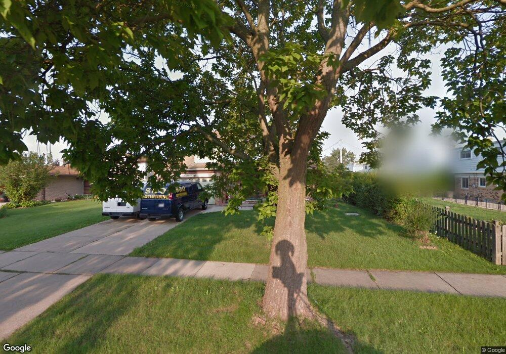
3842 Barbara Dr Sterling Heights, MI 48310
Estimated Value: $318,969 - $353,000
4
Beds
3
Baths
1,728
Sq Ft
$196/Sq Ft
Est. Value
About This Home
This home is located at 3842 Barbara Dr, Sterling Heights, MI 48310 and is currently estimated at $338,992, approximately $196 per square foot. 3842 Barbara Dr is a home located in Macomb County with nearby schools including Angus Elementary School, Grissom Middle School, and Warren Mott High School.
Ownership History
Date
Name
Owned For
Owner Type
Purchase Details
Closed on
Jul 26, 2005
Sold by
Aboona Ringo and Aboona Loreen
Bought by
Ishac Amira
Current Estimated Value
Home Financials for this Owner
Home Financials are based on the most recent Mortgage that was taken out on this home.
Original Mortgage
$162,000
Outstanding Balance
$85,265
Interest Rate
5.69%
Mortgage Type
Fannie Mae Freddie Mac
Estimated Equity
$253,727
Purchase Details
Closed on
Apr 11, 2000
Sold by
Vannhat D
Bought by
Aboona Ringo
Create a Home Valuation Report for This Property
The Home Valuation Report is an in-depth analysis detailing your home's value as well as a comparison with similar homes in the area
Home Values in the Area
Average Home Value in this Area
Purchase History
| Date | Buyer | Sale Price | Title Company |
|---|---|---|---|
| Ishac Amira | $180,000 | William T Sheahan Title Co | |
| Aboona Ringo | $175,000 | -- |
Source: Public Records
Mortgage History
| Date | Status | Borrower | Loan Amount |
|---|---|---|---|
| Open | Ishac Amira | $162,000 | |
| Closed | Aboona Ringo | -- |
Source: Public Records
Tax History Compared to Growth
Tax History
| Year | Tax Paid | Tax Assessment Tax Assessment Total Assessment is a certain percentage of the fair market value that is determined by local assessors to be the total taxable value of land and additions on the property. | Land | Improvement |
|---|---|---|---|---|
| 2025 | $3,186 | $150,900 | $0 | $0 |
| 2024 | $3,073 | $138,500 | $0 | $0 |
| 2023 | $2,917 | $126,100 | $0 | $0 |
| 2022 | $2,829 | $112,100 | $0 | $0 |
| 2021 | $2,924 | $104,200 | $0 | $0 |
| 2020 | $2,779 | $100,700 | $0 | $0 |
| 2019 | $2,609 | $95,500 | $0 | $0 |
| 2018 | $2,765 | $80,500 | $0 | $0 |
| 2017 | $2,665 | $73,800 | $14,500 | $59,300 |
| 2016 | $2,609 | $73,800 | $0 | $0 |
| 2015 | -- | $70,700 | $0 | $0 |
| 2014 | -- | $59,800 | $0 | $0 |
Source: Public Records
Map
Nearby Homes
- 3528 Byrd Dr
- 33735 Kennedy Dr
- 33569 Breckenridge Dr
- 3538 Cero Dr
- 32961 Wexford Dr
- 3868 Elvera Ln Unit 11
- 3040 Alden Dr
- 5575 E 14 Mile Rd
- 33288 Viceroy Dr
- 4580 Hampton Ct N
- 34544 Sandwood Dr
- 32930 Chalfonte Dr
- 32603 Dowland Dr
- 2600 Pall Mall Dr
- 2630 Pall Mall Dr
- 33731 Newport Dr
- 32291 Ryan Rd
- 32302 Ryan Rd
- 32805 Hawthorne Dr
- 4468 15 Mile Rd Unit F104
- 3854 Barbara Dr
- 3770 Barbara Dr
- 3756 Barbara Dr
- 3866 Barbara Dr
- 3744 Barbara Dr
- 3664 Barbara Ct
- 3656 Barbara Ct
- 3843 Barbara Dr
- 3878 Barbara Dr
- 3855 Barbara Dr
- 3730 Barbara Dr
- 3831 Barbara Dr
- 3648 Barbara Ct
- 3819 Barbara Dr
- 3881 Barbara Dr
- 3767 Barbara Dr
- 3779 Barbara Dr
- 3655 Byrd Dr
- 3643 Byrd Dr
- 3753 Barbara Dr